
City Centerville, Davis County
The small bench town in south Davis County, between Bountiful and Farmington
Centerville, Utah, the small bench town between Bountiful and Farmington
Centerville is a bench town of about 16,900 people in south Davis County, running from the Great Salt Lake flats up to a foothill bench under two canyon mouths. It sits where an 1849 survey found it, halfway between Farmington and Bountiful, and it incorporated in 1915 to build a water system. Today it is known for the Deuel Creek and Parrish canyon trailheads, the old stone houses along Main Street, the Parrish Lane shops off I-15, and a big Fourth of July. This hub is the map to the seven Centerville pages and hands the wider county subjects to the Davis County pages.
 By Scott Buehler, Moving Utah
Updated October 2026
By Scott Buehler, Moving Utah
Updated October 2026
The short answer
Centerville is the small bench town in south Davis County, sitting exactly where its name says: halfway between Bountiful and Farmington. It is a quiet, settled place of stone houses and old street trees on the valley floor, with two canyon trailheads at the top of town and the Parrish Lane shops and the I-15 interchange at the bottom. Most of what people come here for is outdoors or historic, a shaded creek walk up Deuel, a dry view climb up Parrish, an old Main Street you can read on foot, and a big Fourth of July. This hub is the map to seven deeper Centerville pages, and it hands the lake, the canyon crest and the county day trips to the shared Davis County pages.
The town
Narrow east to west, long north to south, and the freeway splits the low half from the high
Centerville is a strip about three miles long and a mile wide, so the useful mental map is a set of stripes running north to south rather than a set of neighborhoods. It climbs from the Great Salt Lake flats on the west up to a foothill bench under the canyon mouths on the east, and each stripe sits at a different height with a different set of things worth knowing before you buy.
The bench top is the highest ground, east of roughly 600 East under the two canyon mouths. This is where the Deuel Creek and Parrish trailheads are, where the debris basins sit at the canyon mouths, and where personal fireworks are banned for the whole of July because the hillside is dry. The old grid is the middle: Main Street, which is State Route 106, and the platted blocks either side of Center Street, holding City Hall, the small heritage museum, and most of the town's stone houses. The Parrish Lane corridor is the commercial mile of 400 North between the freeway and Main Street, carrying the Centerville shops, the I-15 interchange and the Legacy Parkway ramp. The west flats are the low, open, wind driven ground running out toward wetland and preserve rather than toward a beach.
That fall of land, flats to grid to bench in a mile, is why a single city elevation figure means little here, and why the four stripes are worth sorting before you tour. The moving to Centerville page walks the bands street by street for a buyer, and the city guide carries prices and current listings.
Two different things here are called Parrish Lane, and they sit at opposite ends of town. The west end of Parrish Lane, which is 400 North and State Route 105, carries Centerville's only I-15 interchange at exit 319 and its own Legacy Parkway ramp. The east end of the same street runs the other way and dead ends at the foothills, and that is where the Parrish Canyon trailheads are. So a mention of the Parrish Lane trailhead can mean a mountain or a freeway ramp depending on who wrote it. If a listing or a trail app has you parking at the canyon next to the freeway, it has crossed the two ends.
Getting around
One freeway exit, two rail stations nearby, and none of them inside town
Centerville is a driving town with one way onto the freeway. I-15 runs down the west side and the only interchange is at Parrish Lane, exit 319, which also feeds the Legacy Parkway for the quieter run south into Salt Lake City. Salt Lake is about 15 miles and 20 minutes off peak, and Ogden is about the same distance the other way. US-89 joins I-15 near here and continues up the east bench through Farmington and Kaysville.
The FrontRunner commuter line runs through Centerville but does not stop in it. The nearest platforms are Woods Cross to the south and Farmington to the north, each a short drive, and both have park and ride lots. Local bus service and an on demand ride zone cover the south Davis area for trips without a car. For most households here, though, the honest answer is that you drive to the Parrish Lane ramp and go.
History
Three names in three years, and a water system the town made itself a town to build
Centerville changed its name twice before it settled on one. Thomas Grover was assigned pasture here and arrived in the fall of 1847, on the creek that would end up carrying another family's name. The Deuels, the Cherrys, the Porters and others joined him in 1848, and the place became known as Deuel Creek, then Cherry Creek after Aaron Cherry bought Grover out. When the survey landed a couple of years later, the town was written down as Centreville for the plain reason that it sat halfway between the towns on either side.
Samuel Parrish and his son Joel settled a stream half a mile north of the Cherry Creek group in 1848, which is how the canyon, the lane and the freeway exit all came to carry one surname. Four creeks come down off the bench into the grid, Ricks, Barnard, Parrish and Deuel, and the old street plan still sits on top of the answer to which family settled where. An early attempt at a defensive rock wall around a nine block core was begun in the 1850s and never finished, and nothing of it stands above ground today.
The chapter that shaped the modern town is the water one. Most Utah settlements incorporated once they had grown enough to need a government. Centerville incorporated in 1915 to build a pipe: residents petitioned so the new town could issue bonds and lay a culinary water system, and the first mains were wooden pipe wrapped in wire, replaced with metal in 1936. Water is still what the town organizes itself around, and two separate secondary irrigation systems water the outdoor half of town, one reaching a given parcel or the other, or in some cases neither.
The railroad turned the economy outward. After grasshoppers took the crops in 1868, many Centerville men went to work on the Utah Central, finished in 1870, and within a year farmers here were selling produce into a Salt Lake market they could reach in an hour. Three more lines followed over the next thirty years, and a trolley ran up Main Street by 1913. The historic Centerville page walks the stone houses that survive from all of it, and the one stonemason whose corner stones you start to spot once you know the trick.
Most Utah towns incorporated because they had grown large enough to need a government. Centerville incorporated because it wanted a water pipe.
The year
The calendar here is set by water, by fire risk, and by one week at the start of July
Spring is when the water turns on. Secondary irrigation usually starts in mid May, and the two systems that serve the town set their own rates, so anyone planning to water a lawn should ask which system reaches the address and what it costs before writing an offer. In a dry year the start date slips. It is the kind of small thing that never shows up in a listing and matters every summer.
Summer is the loud season, and July runs two ways at once. The city puts on a three day Freedom Festival around the Fourth, with a children's parade, a Main Street parade and a fireworks display at Community Park on the flat west side of town. At the same time, personal fireworks are banned on the east bench for the whole month, because that is where the dry hillside and the wildfire risk are. A household on the top streets holds both facts at once. The Freedom Festival page has the schedule and the boundary.
Fall and winter belong to the canyons and the museum. The Deuel Creek trails go most of the year because the canyon bottom starts low, and the real caution is ice on the log crossings after a storm rather than a closed season. The small heritage museum in the old Whitaker House on Main Street keeps a couple of open days a week and closes around the winter holidays. The one seasonal subject the town does not own is the crest road above the canyons, which runs on a Forest Service gate schedule covered on the Davis canyons page.
A city that runs a fireworks display on the west side of town during the same month it bans them on the east side is not being inconsistent. It is being specific about where the dry ground is.
Davis County
The big county subjects are written once, for every Davis town
Centerville shares its scenery with the rest of Davis County, so the large shared subjects sit at the region level rather than getting retold on each city page. These four are the ones a Centerville address genuinely uses in an ordinary year.
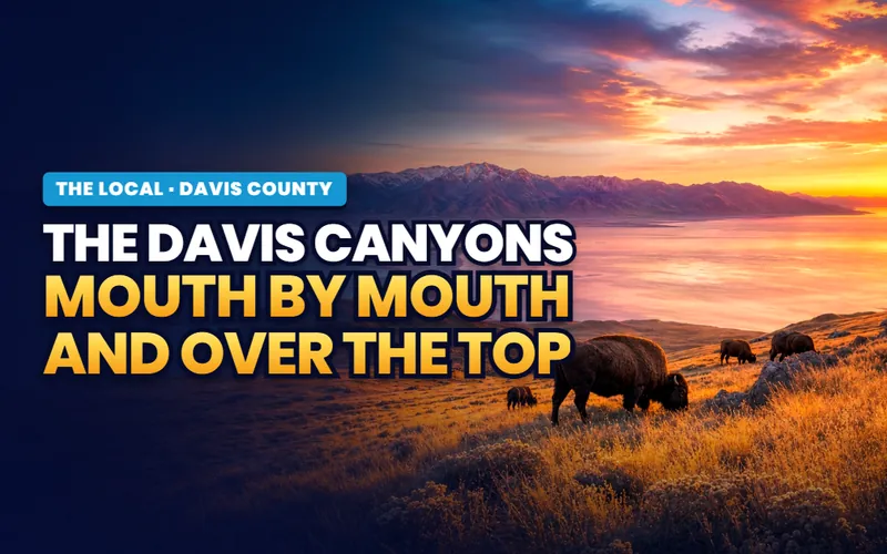
Straight up the hill
The Davis canyons
Two canyon mouths open inside these city limits, and the crest road above them, its gate season and the hillside terraces are all on the county page.
Read the guide
Out the west end
The Legacy Parkway Trail
Pages Lane runs west into the paved corridor, and the county page has the length, the surfaces and the full trailhead list.
Read the guide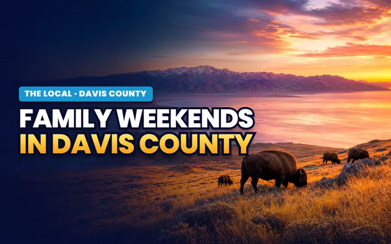
Days out
Family weekends in Davis County
What a paid day out in this county costs and when it opens, priced and seasoned rather than sorted by who it is for.
Read the guide
The view from up there
Antelope Island
The island you look at from the top of the Parrish sunset loop, with its causeway, its fees and its fall bison roundup written once for the county.
Read the guideSome of the best known Davis County outings are a short drive from Centerville, not inside it. The Great Salt Lake bay and its nature center are up in Farmington, and the county's ponds and beaches are an exit or two either way. The only standing water inside Centerville itself is an undeveloped retention pond at Lee Skabelund Memorial Nature Park, so the town's own water edge is preserve and wetland rather than beach and shoreline. All of the county subjects are indexed on the Davis County hub.
The Centerville pages
Seven pages on the town itself, and most of them turn on water or on stone
Everything The Local has written about Centerville: the ranked things to do, the two very different canyons, the old stone grid, the park with two names, the Fourth of July, and the homework a Centerville address actually asks a buyer to do. Each is its own page, and this is the map to all of them.

The ranked list
The top 7 things to do
The seven best outings in town, ranked, each with a drive time and a cost.
Read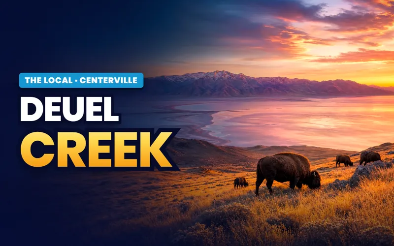
The creek canyon
Deuel Creek
The shaded creek walk with log bridge crossings, off the east end of 100 South.
Read
The dry slope
Parrish Canyon
The dry, west facing climb to a lake and island view from one dead end street.
Read
The old grid
Historic Centerville
The old stone houses along Main Street and the walking tour that reads them.
Read
Two names
William R. Smith Park
The community park two blocks from City Hall that the town also calls Founders.
Read
Three days
The Freedom Festival
How Centerville does the Fourth of July, with parades, a flyover and fireworks.
Read
Moving here
Moving to Centerville
The bands, the fireworks line and the water questions to ask before an offer.
Read
Scott Buehler
Moving Utah About Scott
Quick answers
Centerville, answered
An 1849 survey found the settlement sitting halfway between Farmington and Bountiful and wrote it down as Centreville, and the name stuck. The city's own history dates the naming a year later, to 1850. Either way the town is named for exactly where it is, in the middle of the string of settlements along the east bench of south Davis County.
On the east bench of Davis County, between Bountiful to the south and Farmington to the north, about 15 miles north of Salt Lake City up I-15. The town runs from the Great Salt Lake flats on the west up to a foothill bench under two canyon mouths on the east, roughly three miles long and a mile wide.
Two canyon trailheads and an old street grid, mostly. Deuel Creek is a shaded creek walk with log bridge crossings, off the east end of 100 South. Parrish Canyon is a dry, west facing climb from a dead end street, with a short loop up to a view of the lake and Antelope Island. Beyond the canyons the town has an old Main Street of stone houses, seven city parks, a small heritage museum, and a three day Freedom Festival around the Fourth of July.
No. The commuter rail line runs through Centerville but does not stop in it. The nearest platforms are Woods Cross to the south and Farmington to the north, each a short drive. Most people here reach the freeway at the Parrish Lane interchange, exit 319, and drive from there.
In 1915, and for one specific reason: to build a culinary water system. Residents petitioned to incorporate so the new town could issue bonds and lay pipe, and the first mains were wooden pipe wrapped in wire. The town held a ball in the spring of 1916 to mark the waterworks being finished, and the wooden pipe was replaced with metal in 1936.
It depends which side of town you are on. On the flat west side the city runs its own Fourth of July display at Community Park. On the higher ground of the east bench, personal fireworks are banned for the whole of July, because that is where the dry hillside and the wildfire risk are. A separate rule restricts fireworks anywhere in town next to undeveloped or dry vegetated ground. The moving to Centerville page maps the boundary.
Seven, spread from the flats to the bench: Community Park, Freedom Hills Park, Island View Park, Lee Skabelund Memorial Nature Park, Porter Walton Park, Smoot Park, and William R. Smith Park, which the city also calls Founders Park. Parks are open daily from 7 a.m. to 10 p.m. Restrooms and running water are on only from mid April to mid October.
Not a formal historic district, but Centerville does have 26 individually listed National Register properties and a city walking tour of about 25 historic homes, most of them along or near Main Street. It has also been a Preserve America Community since 2005. The listed homes are private, so the walking tour is the way to see them from the sidewalk. The historic Centerville page has the route.
Two systems water the outdoor half of town, and which one reaches a given property is an address by address question. Part of Centerville is served by the Weber Basin Water Conservancy District and part by the Centerville Deuel Creek Irrigation Company, a shareholder company. Some parcels have neither. Secondary water usually turns on in mid May. Ask the seller and the city in writing which system, if either, serves a specific address, and ask before you write an offer.
Seven pages on the town, and a short list of questions to ask before an offer
A day in Centerville is a shaded creek, a dry slope, a few blocks of stone houses and a park under old trees. An address here asks a narrower set of questions than any of that suggests: which of the town's north to south bands a street sits in, whether it falls inside the July fireworks line on the east bench, which of the two secondary irrigation systems reaches the parcel or whether neither does, and what the debris basin at the canyon mouth above it is built to hold. Tell me what you are weighing and I will connect you with a Davis County partner agent who works this bench, and stay on the file for the financing side.
Or call Scott: (435) 357-4345or send Scott a message
Keep going
Continue your Centerville research
Eight more doors into Centerville, chosen for what this page covers.
Questions about Centerville?
Call Scott, send a message, or find out what your Centerville home is worth. No pressure, no obligation.
Referral Disclosure: For moves outside Southern Utah, I can connect you with trusted local agents. If you choose to work with one, their brokerage pays my brokerage (Real Broker, LLC) a referral fee from their commission. This costs you nothing extra, and you are never obligated to use my referral.