
Compare Utah counties
Two counties. One honest, side-by-side look
The county line is where the real decisions live: the property tax bill, the sales tax, the school district map, and the trails that start at the end of the road. Pick any two of Utah's 20 largest counties and see population, growth, home values, commutes, and the ranked things-to-do list for every town in both, on one page.
190
matchups, every pair of the 20
20
county profiles, one page each
4
statewide rankings on one question
Popular comparisons
Start with a real matchup
These are the pairings people actually weigh: the two counties that hold most of the Wasatch Front, the two that share Hill Air Force Base, the two that make up Southern Utah. Each one is a full side-by-side with the same table, the same sources, and a verdict that takes a position.
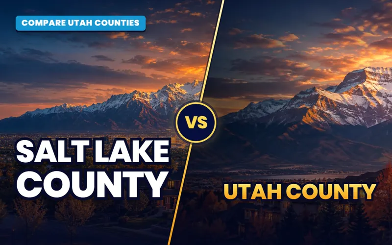
Salt Lake County
vsUtah County
The two counties that hold most of the Wasatch Front, split at the Point of the Mountain.
See the comparison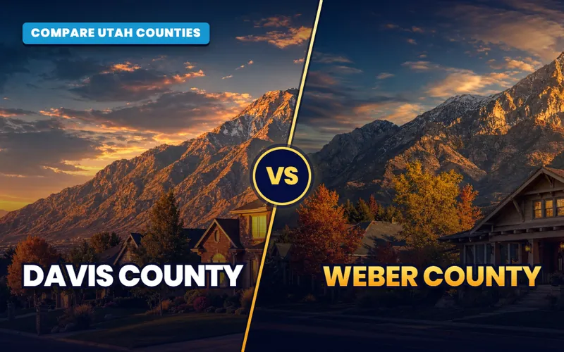
Davis County
vsWeber County
Hill Air Force Base sits between them; the lake, the bench, and Ogden set them apart.
See the comparison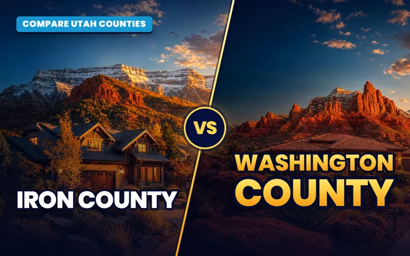
Iron County
vsWashington County
High desert and four seasons against warm winters and the Zion doorstep.
See the comparison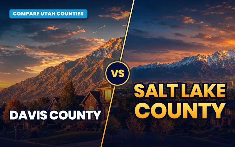
Davis County
vsSalt Lake County
The county with the rail and the jobs against the one that commutes to them.
See the comparison
Utah County
vsWashington County
Utah's two fastest-growing big counties, five hours apart.
See the comparison
Box Elder County
vsCache County
Two northern valleys: farm country on the bay against Logan and Utah State University.
See the comparison
Summit County
vsWasatch County
The Wasatch Back split in two: Park City's county and Heber's.
See the comparison
Salt Lake County
vsTooele County
Over the Oquirrhs: the valley against the one people move to for room.
See the comparisonEvery pair of the 20 counties has its own page, 190 in all. Build the two you are weighing with the matchup tool up top, or start from a county profile below.
The 20 at a glance
Utah's 20 largest counties, ranked
Utah has 29 counties, and these 20 hold almost everyone in the state. The table is the same one every county page runs on: the Census Bureau's July 2025 estimate, how much each county has grown since the 2020 count, where the 2020 to 2025 trend puts it in 2026 if it simply continues, and the county's median home value. Salt Lake County is the anchor of the bar; every other county is drawn against it. Every county name opens that county's profile.
How to read it
- Population is the official Census estimate, unrounded.
- Since 2020 is the change from the April 2020 count. Utah County added more people than the next four counties combined.
- 2026 outlook is a straight line drawn through the 2020 count and the 2025 estimate, one year forward, because the Census Bureau does not project county totals. It is a trend, not a forecast.
- Median home value is the American Community Survey county median, one source for all 20.
| Rank | County | Population | Since 2020 | 2026 outlook | Median home value | Region |
|---|---|---|---|---|---|---|
| 1 | Salt Lake CountyCounty offices: Salt Lake City | 1,220,916 | +3.0% | 1,228,052 | ~$525,700 | Salt Lake County |
| 2 | Utah CountyCounty offices: Provo | 759,859 | +15.2% | 779,952 | ~$538,700 | Utah Valley |
| 3 | Davis CountyCounty offices: Farmington | 381,227 | +5.1% | 384,937 | ~$505,500 | Davis County |
| 4 | Weber CountyCounty offices: Ogden | 278,174 | +6.1% | 281,364 | ~$426,700 | Weber & Morgan Counties |
| 5 | Washington CountyCounty offices: St. George | 213,670 | +18.5% | 220,347 | ~$510,700 | Southern Utah |
| 6 | Cache CountyCounty offices: Logan | 145,000 | +8.9% | 147,368 | ~$444,400 | Cache Valley |
| 7 | Tooele CountyCounty offices: Tooele | 87,461 | +20.3% | 90,413 | ~$431,600 | Tooele County |
| 8 | Iron CountyCounty offices: Parowan | 67,141 | +17.2% | 69,115 | ~$379,000 | Southern Utah |
| 9 | Box Elder CountyCounty offices: Brigham City | 65,320 | +13.3% | 66,850 | ~$403,600 | Box Elder County |
| 10 | Summit CountyCounty offices: Coalville | 43,141 | +1.9% | 43,298 | ~$1,067,700 | Wasatch Back |
| 11 | Wasatch CountyCounty offices: Heber City | 38,514 | +10.7% | 39,260 | ~$787,300 | Wasatch Back |
| 12 | Uintah CountyCounty offices: Vernal | 38,278 | +7.5% | 38,811 | ~$298,600 | Eastern Utah |
| 13 | Sanpete CountyCounty offices: Manti | 31,453 | +10.6% | 32,056 | ~$347,200 | Central Utah |
| 14 | Sevier CountyCounty offices: Richfield | 22,827 | +6.1% | 23,091 | ~$311,200 | Central Utah |
| 15 | Duchesne CountyCounty offices: Duchesne | 20,856 | +6.4% | 21,106 | ~$283,700 | Eastern Utah |
| 16 | Carbon CountyCounty offices: Price | 20,680 | +1.3% | 20,733 | ~$228,500 | Eastern Utah |
| 17 | San Juan CountyCounty offices: Monticello | 14,542 | +0.2% | 14,548 | ~$224,200 | Eastern Utah |
| 18 | Millard CountyCounty offices: Fillmore | 14,057 | +8.3% | 14,273 | ~$284,700 | Central Utah |
| 19 | Juab CountyCounty offices: Nephi | 13,567 | +15.2% | 13,924 | ~$425,400 | Central Utah |
| 20 | Morgan CountyCounty offices: Morgan | 13,383 | +8.8% | 13,600 | ~$654,900 | Weber & Morgan Counties |
Population: Census Bureau county population estimates, Vintage 2025 (July 1, 2025). Growth measured from the April 1, 2020 estimates base in the same Census table. 2026 outlook: a straight-line outlook from the 2020 to 2025 Census trend (the Census Bureau does not project county totals). Home values and income: American Community Survey 2020-2024 5-year, county medians. Sales tax: Utah State Tax Commission, combined rate in the town that holds the county offices, first quarter 2026. Federal and private land: Kem C. Gardner Policy Institute, Utah Land Ownership, July 2025. Figures checked September 2026 and rounded; the population figures are exact.
Rank the whole state
All twenty, on one question each
The matchup tool puts two counties side by side. These four pages line up all twenty on a single question: who is largest, who is least expensive, who is growing fastest, and who holds the most outdoors. Each one explains the number behind every rank.
By population
Utah's 20 largest counties
From Salt Lake County past a million to Morgan County, ranked largest to smallest with growth and home values alongside.
See the ranking
By home value
The cheapest counties
San Juan to Summit, ordered by median home value, with the trade behind each lower price spelled out.
See the ranking
By growth
The fastest-growing counties
Tooele to San Juan, ranked by growth since the 2020 count, with the reason behind each number.
See the ranking
By outdoor access
Best counties for the outdoors
A tally of national parks, state parks, ski areas, and public land, with the method stated in plain words.
See the rankingBrowse by region
Utah is several markets, not one
The 20 counties sort themselves into six groups, and most real decisions happen inside one group. Someone taking a job in Lehi is choosing between Utah County and the south end of Salt Lake County, not between Utah County and Uintah. Someone moving to St. George is weighing Washington County against Iron County, forty minutes up I-15, where the same budget buys more house and four real seasons. The blocks below group the counties the way people actually compare them. Each county card opens that county's profile, the example matchups are the pairs people ask about most, and The Local link shows what a weekend looks like there.
One warning before you start. County lines in Utah do not follow the things people care about. The Wasatch Front is one continuous city from Ogden to Payson that happens to cross four county lines, and the school district you would send a kid to, the commute you would drive, and the canyon you would hike on Saturday all ignore the line. What the line does change is the tax bill, the assessor who values your home, the sales tax at the register, and how much of the county is public land. Those are the things this section is built to show.
Where I fit on the map
I live and work in Southern Utah, so Washington and Iron counties are home ground and I write those pages from the inside. For the other 18, I am the connector: I have spent twenty-plus years in this state, I know the markets, and when you are ready to tour I introduce you to a partner agent who works that county every week and I stay involved through your move. If you work with that agent, their brokerage pays my brokerage a referral fee out of the agent's compensation. It is not an added cost to you, and you are always free to choose your own agent.
Utah at a glance
A lot of state to weigh
29
counties; these 20 hold nearly everyone
4
county lines inside one Wasatch Front commute
64%
of Utah is federal land; 4% in Morgan, 90% in Garfield
350
miles north to south, the Arizona line to Idaho
The Wasatch Front
Salt Lake, Utah, Davis, Weber, and Morgan. Four of the five are one continuous valley city along I-15 and the FrontRunner line; Morgan is the small county over the ridge behind Ogden that commutes in. Salt Lake County has the airport, the rail, and the biggest employers. Utah County has the growth. Davis and Weber share Hill Air Force Base and the lake shore.
Things to do: Salt Lake County Utah Valley Davis County Weber and Morgan
Salt Lake County
County offices: Salt Lake City
- Population
- 1,220,916
- Since 2020
- +3.0%
- Median home
- ~$525,700
Utah County
County offices: Provo
- Population
- 759,859
- Since 2020
- +15.2%
- Median home
- ~$538,700
Davis County
County offices: Farmington
- Population
- 381,227
- Since 2020
- +5.1%
- Median home
- ~$505,500
Weber County
County offices: Ogden
- Population
- 278,174
- Since 2020
- +6.1%
- Median home
- ~$426,700
Morgan County
County offices: Morgan
- Population
- 13,383
- Since 2020
- +8.8%
- Median home
- ~$654,900
Example matchups
Southern Utah
Washington and Iron, my home ground. Washington County is the warm low desert around St. George with Zion at the back door and one of the fastest growth rates in the state. Iron County sits three thousand feet higher around Cedar City and Parowan, with four seasons, a university, and a lower median home value. Forty minutes apart, and they could not feel more different.
Things to do: Southern Utah on The Local
Example matchups
The Northern Valleys
Cache, Box Elder, and Tooele. Cache Valley is Logan and Utah State University at the center, with a ring of farm towns in a valley that runs into Idaho. Box Elder is Brigham City, the fruit stands along the old highway, and the bay of the Great Salt Lake. Tooele is over the Oquirrh Mountains from the Salt Lake Valley, a huge county that is mostly federal land with a fast-growing string of towns along its east edge.
Things to do: Cache Valley Box Elder County Tooele County
Cache County
County offices: Logan
- Population
- 145,000
- Since 2020
- +8.9%
- Median home
- ~$444,400
Tooele County
County offices: Tooele
- Population
- 87,461
- Since 2020
- +20.3%
- Median home
- ~$431,600
Box Elder County
County offices: Brigham City
- Population
- 65,320
- Since 2020
- +13.3%
- Median home
- ~$403,600
Example matchups
The Wasatch Back
Summit and Wasatch, the two counties over the mountains from Salt Lake. Summit is Park City's county, with the highest median home value in the state and county offices in Coalville that most visitors never see. Wasatch is Heber City and Midway in the valley below Jordanelle, growing fast as the spillover from both Park City and Provo Canyon.
Things to do: The Wasatch Back on The Local
Example matchups
Central Utah
Sanpete, Sevier, Millard, and Juab. Farm valleys and small county-office towns an hour or two south of Provo: Manti and Ephraim, Richfield, Fillmore and Delta, Nephi. These are the counties where the median home value drops well under the Wasatch Front and where most of the land is public. Juab, at the north end, is starting to catch commuters from Utah County.
Things to do: Central Utah on The Local
Sanpete County
County offices: Manti
- Population
- 31,453
- Since 2020
- +10.6%
- Median home
- ~$347,200
Sevier County
County offices: Richfield
- Population
- 22,827
- Since 2020
- +6.1%
- Median home
- ~$311,200
Millard County
County offices: Fillmore
- Population
- 14,057
- Since 2020
- +8.3%
- Median home
- ~$284,700
Juab County
County offices: Nephi
- Population
- 13,567
- Since 2020
- +15.2%
- Median home
- ~$425,400
Example matchups
Eastern Utah
Uintah, Duchesne, Carbon, and San Juan. The Uinta Basin counties, Uintah and Duchesne, run on energy and ranching around Vernal and Roosevelt. Carbon is Price and Helper, the old coal county in the canyon on US-6. San Juan is the biggest county in the state by land and the emptiest, with Monticello, Blanding, and a quarter of its land under tribal government.
Things to do: Eastern Utah on The Local
Uintah County
County offices: Vernal
- Population
- 38,278
- Since 2020
- +7.5%
- Median home
- ~$298,600
Duchesne County
County offices: Duchesne
- Population
- 20,856
- Since 2020
- +6.4%
- Median home
- ~$283,700
Carbon County
County offices: Price
- Population
- 20,680
- Since 2020
- +1.3%
- Median home
- ~$228,500
San Juan County
County offices: Monticello
- Population
- 14,542
- Since 2020
- +0.2%
- Median home
- ~$224,200
Example matchups
Every county profile lists all 19 of that county's matchups, so any pair is two clicks from here. Or build it in one with the tool up top.
Why compare counties
What the county line actually changes
Cities get the attention, but four things that touch your money and your weekends are set at the county level.
Property tax and the assessor
Your home is valued by the county assessor, and the certified rate is a stack of county, city, district, and special-service levies. Utah taxes a primary residence on 55 percent of its value, so two counties with different levies can still land close together. The table on every pair page shows the effective rate at each seat.
School district boundaries
Some counties are one district, some are five, and a few district lines cross county lines. The pair pages name every district in both counties and link the city guides where the boundaries fall. No ratings, ever: state the district, link the facts, and let you decide.
Sales tax and county services
The combined sales tax at the register is a state rate plus county and city pieces, and it ranges by more than a full point across these 20 counties. The county also runs the recorder, the health department, and the library system you will actually use.
Where the public land starts
Federal land runs from 4 percent of Morgan County to 90 percent of Garfield. That share decides where trails start, where a subdivision can be built, and how far the town can spread. Every county page shows the federal and private shares side by side.
How it works
Same questions, asked of every county
What the pages weigh
Every pair page runs the same thirty rows: population and growth, land and elevation, home values and taxes, districts and hospitals, transit and the drive to the airport, parks and ski areas. Then it goes deeper on the five things that decide a county choice: cost, growth, climate, what there is to do, and the services you will lean on.
Sourced and dated
Population is the Census Bureau's own estimate. Home values and income are the American Community Survey county medians, the one published index used for all 20 so the counties can actually be compared. Tax rates come from the Utah State Tax Commission, land shares from the Gardner Institute's inventory. Every table carries its vintage and the month it was checked.
A balanced verdict
No county is ranked as a better place to live. Each page ends with a "lean this way if" for both sides, framed by budget, climate, commute, land, and the kind of place you want to walk out into. Then the ranked things-to-do lists from The Local show you what a Saturday looks like in every town in both counties.
Keep going
More ways to weigh the state
A county is the first cut. These are the pages that take you from a county to a city, from a city to a budget, and from a budget to a weekend.

City vs city
Compare Utah cities
Once the county is settled, put two towns head to head: price, climate, size, schools, and commute, across more than 250 pairings.
Compare cities
By budget
The real cost of living in Utah, by region
Housing is the line that moves. This guide shows how far the same money goes from the Wasatch Front to the red rock.
Read the guide
Things to do
The Local: every town, ranked
One hundred thirty-eight towns, each with a ranked things-to-do list and the reads a local would hand you. The county pages pull from here.
Open The Local
Run the numbers
Utah home affordability calculator
Turn a county's median into a budget you can actually shop with. Ten more calculators sit next to it, from rent-versus-buy to a seller net sheet.
Open the calculators
From out of state
Moving to Utah: the relocation guide
The whole move in order: choosing the region, timing the market, licensing, registration, and the first year on the ground.
Read the guide
City directory
All 138 cities, by region
Every city guide on the site, grouped the same way the counties are here, each with its listings, price pages, and communities.
Browse the citiesTalk it through
Still torn between two counties?
Tell me the two you are weighing and what matters most: the commute, the budget, the seasons, or the trailhead. I will give you the honest read, and if you are ready to tour, I will connect you with the partner agent who works that county every week.
If you buy or sell outside Southern Utah, I connect you with a trusted local partner agent and stay involved through your move. If you work with that agent, their brokerage pays my brokerage (Real Broker, LLC) a referral fee. It comes out of the agent's compensation, not as an added cost to you, and you are always free to choose your own agent.
Common questions
Comparing Utah counties, answered
Which is the largest county in Utah by population?
Salt Lake County, with 1,220,916 people in the Census Bureau's July 2025 estimate, more than a third of the state. Utah County is second at 759,859, and it is the one adding people fastest: +15.2% since the 2020 count, against +3.0% for Salt Lake. Davis, Weber, and Washington round out the top five.
Which of the 20 counties is the least expensive to buy a home in?
By the American Community Survey county median, San Juan and Carbon counties sit lowest, both under a quarter of a million, with Duchesne, Millard, and Uintah close behind. The catch is distance: those are two to four hours from the Wasatch Front, with smaller job markets and fewer services. Among the counties inside a Wasatch Front commute, Weber and Tooele carry the lowest medians. The ranking table above shows every county's figure.
Can I compare any two of the 20 counties?
Yes. Every pair of the 20 counties has its own page, 190 in all, and each one runs the same sourced table, the same five deep sections, and a verdict for both sides. The matchup tool at the top of this page takes you straight to any pair. Each county also has a profile page that lists all 19 of its matchups, so a pair is never more than two clicks away.
Does the county I buy in change my property tax?
Yes, though less than people expect. Utah taxes a primary residence on 55 percent of its market value, and the rate is a stack of county, city, school district, and special-service levies certified each year. Two homes of the same value in different counties usually land within a few tenths of a percent of each other, but a city or district with a big bond can push one higher. The pair pages show the effective rate at each county-office town, and the county assessor's site shows the exact rate for any address.
Why only 20 of Utah's 29 counties?
These 20 are every county with more than about 13,000 people, and together they hold nearly the whole state. The other nine, from Emery and Grand down to Daggett, have fewer homes for sale in a year than one Salt Lake County suburb, so a county-level comparison would rest on a handful of sales. Their towns are still covered: Moab, Kanab, Beaver, Panguitch, and Huntington each have a full city guide and a things-to-do list on The Local.
Where do the things-to-do lists come from?
From The Local, the part of this site that covers every one of the 138 towns as a place rather than a listing. Each town has a ranked list, researched and written for that town, and the county pages gather those lists by county so you can see the whole weekend bench in one place. The counts in the tables are the number of ranked lists, not a score.