Skip to content

The Local

The third metro region

The county between the lake and the wall

Davis County, from The Local.

Utah's smallest county by land, about 381,000 people on 299 square miles of bench between Great Salt Lake and a 9,706 foot crest, with fifteen cities, an island, an air base and an amusement park inside the line, and more of its area under water than on it. It is built out, and it grows from births rather than newcomers. The Local arrives here county first: the subjects every city shares get their own pages, and the city companions follow.

By Scott Buehler, Moving Utah Updated August 2026 Fifteen towns live here, one hundred and nineteen pages

Southern Utah is my home turf. Davis County is not, so every page in this region is researched rather than lived: checked against the state park, the wildlife division, the base, the county and the cities, and dated so you can see how fresh it is. For the on-the-ground work here I lean on a Davis County partner agent.

Start here


One lake, one wall, and fifteen cities on the bench between.

Davis County is legible from the interstate: Great Salt Lake fills the west from the road to the horizon, the Wasatch rises straight off the valley floor to the east with two white radar domes on Francis Peak that the whole county can see, and every one of the fifteen cities sits on the terraces between, on the old Lake Bonneville benches that a shoreline trail now follows from canyon mouth to canyon mouth. The county's land is 299 square miles, the smallest of any in Utah, and its water is 335, because Antelope Island and half the lake are inside the line.

Like the two metro regions before it, this one reads county first on The Local, because the things that define life here belong to no single city: the island across the causeway, the paved trail on the valley floor and the canyons on the bench above it, the managed marsh at Farmington Bay, the air base whose gates open onto three cities and whose sound reaches all of them, the ponds the cities dug where a lake beach would be, and the amusement park and water park that set the summer's price. Each gets one page below, written once, and the fifteen city companions route to them as the build waves land.

The other headline is arithmetic, and it runs the other way from Southern Utah's. Davis County had about 381,000 people in July 2025 and grew 0.73 percent in the year, slower than the state, with net migration only 13 percent of the change; only five of its fifteen cities gained population in 2024, led by Syracuse and West Point where land remains, and the south-county bench cities are flat or slightly down because there is nowhere left to build. That is not a demand story, it is a supply story, and it is the quiet subject under every companion in this region.

Davis County at a glance

15

cities with full guides here

7

county subjects live on The Local

9,706 ft

Thurston Peak above a 4,190 ft lake

~381K

people on 299 square miles of land

Live now


Seven subjects the whole county shares.

The island, the flat trail, the bench canyons, the bay, the base, the ponds and the days out. Each belongs to all fifteen cities at once, so each gets one county page rather than fifteen retellings. Every page is dated, checked against the issuing agency, and honest about what is announced versus what is built, what is open versus what is listed as open, and what the fee actually covers.

Getting around


Four train stations, one interstate, and a decade of construction on the way.

The county's transit spine is FrontRunner, with four stations south to north: Woods Cross at 750 South 800 West, Farmington at 450 North 850 West with the largest free lot of the four, Layton at 150 South Main, and Clearfield at 1250 South State Street, the base's transit door. Fares are distance based from a $2.50 base, sixty cents a station beyond the first, and every ticket includes transfers. The rail news is bigger than the rail present: FrontRunner 2X, the double-tracking program that promises 15 minute peak and 30 minute all-day service, entered the federal Engineering phase on August 7, 2026 toward a roughly $1.28 billion grant, with construction anticipated 2027 to 2030 and two of its eleven segments in this county, north of Woods Cross into West Bountiful and north of Clearfield toward Sunset. Announced, not built.

The bus story is the Davis to Salt Lake Community Connector, a 26 mile bus rapid transit line from the Farmington station down Main Street through Bountiful and into Salt Lake City to Research Park, with 18 battery-electric buses and 15 minute all-day service, approaching final design in 2026 at an estimated $72 million and with no published opening year, so this page does not print one. The road story is I-15, which every one of the fifteen cities sits within a few miles of: the Farmington to Salt Lake City rebuild has a signed decision from fall 2024, five general lanes plus an express lane and a rebuilt Warm Springs interchange at about $3.7 billion, with construction possible as soon as 2027, and Legacy Parkway beside it is gaining a lane each way between March and the end of 2026.

The west side has its own new road. The West Davis Highway, sixteen miles from I-15 at Farmington to SR-193 in West Point with nearly ten miles of trail beside it, opened all its lanes on January 8, 2024 and is the reason Syracuse and West Point are the two cities still adding houses; a northern extension into Weber County is on UDOT's schedule. The honest summary for a newcomer: the county moves well off peak, strains at the I-15 pinch points at Farmington and Layton, rewards a life that lines up with one of the four stations, and is about to spend a decade under orange barrels between here and downtown.

The county's year


Four clocks run this county.

Learn these four and the county's calendar makes sense. The lake clock: the island's biting gnats own April through June and empty the causeway, the brine flies come mid summer, and the bison roundup on the fourth Saturday of October is the year's one great free spectacle. The mountain clock: the crest road out of Farmington Canyon is gated for winter and opens on the snowpack's schedule with no published date, and the canyon trailheads run all year underneath it. The bay clock: the wildlife area closes for nesting from March through July, reopens its dikes to cars in late September, is hunted from mid October into January, and fills with eagles in February. And the summer clock: Lagoon opens the last weekend of March, the water parks open Memorial Day weekend, and the whole outdoor season thins in the third week of August when the staff go back to school, two weeks before the calendar says it should. The seven subject pages above carry each clock's detail, dated.

Live now


Bountiful, the second town anyone built in Utah.

Bountiful counted 45,762 residents at the 2020 decennial census on a strip of ground between the Wasatch front and the lake flats, nine miles north of Salt Lake City, and it is the oldest place in this county by four decades. The city puts the dugout Perrigrine Sessions wintered in during 1847 at approximately 250 North and 280 West, inside today's street grid rather than out on a hillside, and it publishes the footprint of the 1855 earthwork wall in current street names too, bounded by 4th North, 2nd West, 5th South and 4th East. What grew inside that rectangle is the most self contained suburb on the Wasatch Front. City Hall owns the electric utility it bought after lights arrived in 1907, the culinary water on a system begun in 1906, the garbage collection, the cemetery, the golf course on the bench, a landfill only residents may use, and since 2025 an open access fiber network reaching every address in the city. Water here is priced by elevation, which is the city itself saying what the bench costs to serve. Above the grid, three canyon mouths open inside the city limits, which is more than any other town in Davis County. Below it, four blocks of Main Street carry a five acre plaza with 520 feet of outdoor ice, six bronze sculptures, six hidden bronze bees and a museum holding the Davis County Clipper from 1892. The companion opens with the ranked eight, the busy trailhead and the quiet canyon. Four further pages round out the Bountiful companion.

The rest of the Bountiful companion The quiet one Two days in July The landmark Downtown

Live now


North Salt Lake, the county's south door.

North Salt Lake counted 21,907 residents at the 2020 decennial census on about 8.5 square miles, which makes it the southernmost city in Davis County and the youngest of the fifteen. It incorporated on 3 September 1946 over a fight about water: a developer had bought hillside land and made a purchase agreement with the owners of the privately held McDuff and McNeil springs, the landowners below the highway were left with no additional water, and some of them drew up a petition to form a town so that control of the water system could be instigated. That bench runs on springs, and the springs keep coming back. Two documented landslides sit on it, both opened up by twentieth century gravel workings cutting into the same weak clay layer beneath Lake Bonneville gravel. One crept from the late 1990s onward and destroyed eighteen homes over fifteen years, and the city bought the houses out with a federal mitigation grant in 2012 and turned the failure surface into a park with a loop trail and interpretive plaques. The other let go in a single morning on 5 August 2014 and produced the chapter of city code a hillside offer now runs through. Below the bench sit a municipal eighteen, eleven named parks on the west flats, the southernmost signed trailhead on the county's paved trail, and exactly one refinery inside the city line, commissioned in 1948 and two years older than the town beside it. Seven pages carry all of it.

The rest of the North Salt Lake companion The sudden one The bench The west flats

Live now


Woods Cross, and the landmarks that carry its name from outside the line.

Woods Cross counted 11,410 residents at the 2020 decennial census on 3.83 square miles of south Davis valley floor, boxed in by Bountiful on the east, West Bountiful to the north and west and North Salt Lake to the south, and two municipal boundaries short of the Salt Lake County line it is often said to sit on. The strange thing about the city, and the thing this companion is built around, is that several of the landmarks carrying its name are not entirely inside it. The forty five thousand barrel plant everybody calls the Woods Cross Refinery operates in West Bountiful. The freeway exit signed Woods Cross at 2600 South runs a boundary belonging mostly to two other cities. The pond at the west end of 1600 North has its state published address in one city and its parking lot in another. Meanwhile the airport the federal record files three miles southwest of Bountiful sits inside these city limits, with 256 based aircraft and an average of 234 flight operations a day, and the practical city guide does not mention it at all. Underneath all of it is an 1849 burial ground on the Hogan Park block, abandoned because the water table beat it, and two civic documents that decide more about this place than any listing does. The companion opens with that block, the field and the tax.

The rest of the Woods Cross companion A penny in ten dollars The half mile circle Two plants

Live now


Farmington, where the oldest street in the county sits a mile from the newest.

Farmington counted 24,531 residents at the 2020 decennial census on 9.951 square miles of land, on the narrow strip between the eastern shore of the Great Salt Lake and the steep foothills of the Wasatch. It has been the seat of Davis County since the Territorial Legislature created the county in 1852, seated it here and renamed the settlement from North Cottonwood, and it did not actually incorporate as a city until December 1892, with 1,180 people. The thing that makes this companion different from every other Davis town is that Farmington holds two civic centers a mile apart and one decision produced both: Interstate 15 took the through traffic off Main Street in the 1960s, which is why sixty six contributing historic buildings are still standing there under a canopy of sycamores, and the same freeway created the ground the commuter rail platform, the retail district, the county sports campus and a sixteen mile highway terminus were built on. In between the two sits Lagoon, on this ground since 12 July 1896, whose carousel, 1921 wooden roller coaster and 1941 Flying Scooter were all listed on the National Register on 24 October 2012. The companion opens with the park, the district and the name the town used first.

The rest of the Farmington companion The first name The canyon mouth The west end

Live now


Centerville, named in a survey for sitting exactly in the middle.

Centerville counted 16,884 residents at the 2020 decennial census on about 5.97 square miles, running from Great Salt Lake flats up to a bench under two canyon mouths, which makes it the only town in Davis County with two of them inside its own street grid. The name came out of a survey: in the autumn of 1849 the settlement was written down as Centreville because it sat roughly halfway between Farmington and Bountiful, and it had already been called Deuel Creek and then Cherry Creek in the two years before that. What makes the place cohere is water. Four named creeks come off the bench into the grid. The town incorporated in 1915 for the specific purpose of building a culinary water system, issued a fifteen thousand dollar bond for it, laid the first main in wire wrapped wooden pipe, and held a ball in April 1916 to celebrate finishing it. Two entirely separate secondary irrigation systems water the outdoor half of the town today and some parcels get neither. The state's geologists have modelled what one of those four creeks could carry in a worst case and the city sized a debris basin against the answer. Above all of it, a city ordinance draws a July fireworks line across the bench in named streets. Down in the old grid stand twenty six individually listed National Register properties, a federal Preserve America designation from January 2005, and an 1866 Wells Fargo building that is still somebody's house. Seven pages carry all of it.

The rest of the Centerville companion The dry slope Two names Three days

Live now


West Bountiful, where nothing large is named for the city it stands in.

West Bountiful counted 5,917 residents at the 2020 decennial census on 3.31 square miles of old lake floor at about 4,232 feet, thirty to sixty feet below the bench, hemmed in by Centerville, Bountiful, Woods Cross and the Great Salt Lake wetlands. Three pieces of regional infrastructure sit inside that boundary and not one of them carries the city's name. The 45,000 barrel a day refinery everybody calls the Woods Cross refinery is here, and HF Sinclair says so on its own facilities page and said so to the Utah Legislature in 2020. The Bountiful Sanitary Landfill holds a federal air permit whose location line reads 1300 West 1600 North, West Bountiful, and is owned and funded by the city next door. The South Davis Sewer District treats at a plant on the west end of 1200 North. The largest piece of public open space is not a park at all but Lakeside Golf Course, 114 acres run as a city department, which is 88 per cent of the park land the city holds and the reason it publishes 2.7 acres of park per thousand residents against Woods Cross at 5.6. And the street the town grew along, 800 West, went on the National Register of Historic Places in 2004 under a second name the numbering system hides: Onion Street. Even the water is bought in, from a conservancy district, and stored in two tanks that sit inside Bountiful. Six pages carry all of it.

The rest of the West Bountiful companion The only park The west door Moving here

Live now


Layton, the county's largest city, and the wagon that made it one.

Layton counted 81,773 residents at the 2020 decennial census on about 22.5 square miles, the largest city footprint in Davis County, running from the mouth of a national forest canyon down across a bench and out onto old lake floor. It exists because Kaysville incorporated in 1868, drew its line around the farms out here, started building itself a city hall in 1889 and sent the bill two miles into the fields. Ephraim P. Ellison refused, the Kaysville tax collector seized and sold his fifty dollar wagon, and on 17 December 1894 the Supreme Court of the United States dismissed Kaysville's appeal for want of jurisdiction and left the judgment standing. Layton was out by 1902, a town by 1920 with five hundred people and a city by 1950 with three thousand four hundred, because Hill Field opened on 7 November 1940. All of that is still on the map. The 44 acre tournament park carries the plaintiff's family name. The regional shopping district is Utah State Route 232, 2.401 miles laid in 1940 with federal money and ending at the base's south entrance, with a mall on it that changed hands in August 2024 for 37.1 million dollars. The civic heart is one 47 acre address at 437 North Wasatch Drive holding city hall, a free museum, an amphitheater, an indoor wave pool, a duck pond the city does not list and a sign saying dogs are not allowed. Eight pages carry all of it.

The rest of the Layton companion The fields The gully The trailhead The road Moving here

Live now


Kaysville, where the short list of what the city owns is better than the long list it gets credit for.

Kaysville counted 32,945 residents at the 2020 decennial census on roughly 10.5 square miles between Layton and Farmington, and it is the Davis County city that runs its own electricity. The town signed a franchise for the system on 1 March 1908 on three conditions, one of them constant power to City Hall, and bought all rights on 8 June for 1,850 dollars. It still bills the meters: 10,364 customers on its own 2021 figures, 851 commercial accounts and exactly one industrial. In November 2020 the same town was asked whether it wanted to own its fiber and said no, 8,855 to 8,570 on the county canvass, a margin of 285 in the highest turnout election Davis County has run. Almost everything else the city is credited with belongs to somebody else, and the parcel records prove it: the resort at the south end of Main Street is in Fruit Heights, the canyon on the east bench is Fruit Heights's because the city limit stops near US-89, the botanical campus is Utah State University's, and the county fair is in Farmington. What Kaysville does own has never been on its own city guide. A 140 acre wilderness park with walk-in tent camping and the only park gate in town a dog may enter. The last New Deal public building standing in Davis County, listed in 2019 and named to the state's endangered list in 2026. Six National Register properties and no historic district, four of them by a brick mason's son who learned architecture by correspondence. Seven pages carry all of it.

The rest of the Kaysville companion The university's By correspondence One big week Moving here

Live now


Fruit Heights, where almost nothing is filed under the name you would expect.

Fruit Heights counted 6,101 residents at the 2020 decennial census on 2.29 square miles of Wasatch bench, walled by US-89 on the west, Kaysville on the north, Farmington on the south and national forest on the east, and the most recent published estimate is 5,971, so it is not growing. Until 23 August 1939 it was not called Fruit Heights at all; it was East Kaysville, and almost everything that still reads as Kaysville about it dates from then. Its postcode is 84037, which is Kaysville's, and it has none of its own. It has no police department and no fire department and says so in its own words, contracting both to the Davis County Sheriff's Office and the Kaysville Fire Department. It buys 745 acre feet of treated water a year from a conservancy district against about 30 from its own well, in a town whose founding act was bonding for pipe to bring water down out of the canyon by hand and horse team. The canyon above it is spelled Bair by the federal names authority and the Forest Service and Baer by the city government, a USGS streamgage and the trailhead sign, and all of those are current. The biggest attraction inside the boundary publishes a Kaysville address on a parcel the county assessor lists in Fruit Heights, and the trail that carries this city's name is published by Farmington. Six pages carry all of it.

The rest of the Fruit Heights companion The name The park The building

Live now


Clearfield, the city that never got a main street out of the deal.

Clearfield counted 31,909 residents at the 2020 decennial census on about 7.70 square miles of flat Lake Bonneville lakebed at the north end of Davis County. Construction began on the air field along its eastern boundary in 1940; on 26 May 1942 the President authorised the Navy to buy 841 acres of farm ground on the western side for 750,000 dollars, and eleven months later it commissioned a supply depot there with 84 storage buildings, more than 8.3 million square feet under roof and 38 miles of railroad track inside the fence. Peak employment was 7,624 in 1944. The grid between the two installations filled in as housing rather than growing outward from a town centre, so there is no historic commercial core here at all, which is why the city is now constructing its first one on 56 plus acres of transit agency land beside the commuter platform, with about 28 million dollars of road and pipe laid before a building went up. The Navy left in 1962, the Legislature passed the freeport tax law in 1963, and the warehouses have been leased ever since. Seven pages carry all of it.

The rest of the Clearfield companion The downtown The pool The courts The park

Live now


Sunset, where one alignment on the map explains the whole town.

Sunset counted 5,475 residents at the 2020 decennial census on about 1.47 square miles at the top of Davis County, and the most recent published estimate is 5,372, so it is not growing. Its north line is the Davis and Weber county line, which makes it the northernmost city in the county; its west line is the railroad the community separated from Clinton along in about 1916, with commuter rail on it and no station in the city; and Interstate 15 runs down the seam of the rectangle in between. East of that freeway, still inside the municipal line, is roughly 255 acres of Hill Air Force Base, about a quarter of the whole city, in Census Tract 9800 and ZIP 84056 and almost entirely off the county tax roll. The city's own general plan describes that strip as currently being controlled by the United States Air Force, and carries a policy adopted in 2002 to annex the entire base if it were ever closed. West of the freeway is the taxed city: about 2,420 parcels with a median year built of 1960, 94.5 per cent of the land in residential use, no ZIP code and no address grid of its own, and a Main Street the same plan says the 1960s corridor required the destruction of the east side of. Five pages carry all of it.

The rest of the Sunset companion The name The parks

Live now


South Weber, a Davis County city that faces north into another one.

South Weber counted 7,867 residents at the 2020 decennial census on 4.69 square miles at the mouth of Weber Canyon, and the most recent state estimate is 8,124, which puts it in the minority of Davis County cities that are still growing. In 1855 the Territorial Legislature divided the town of East Weber, or Easton, into two, named the north half Uintah and the south half South Weber, and in the same act made the Weber River the line between Weber and Davis Counties. Everything odd about an address here descends from that. The postcode is 84405, an Ogden one shared with two Weber County cities. The house numbers are measured off the Ogden street grid. The sewage is treated by the Central Weber Sewer Improvement District. Four of the five municipalities the city touches are in Weber County. The city itself supplies the drinking water, runs its own fire department, contracts its policing to the Davis County Sheriff, and publishes the size it expects to stop at, which is under 14,000. Seven pages carry all of it.

The rest of the South Weber companion The river The parks Nine days The wind

Live now


Syracuse, the city that owns the road and almost none of the island.

Syracuse counted 32,141 residents at the 2020 decennial census on 10.40 square miles at the west edge of Davis County, and it holds 5,969 square meters of water inside its own line, about an acre and a half. Utah State Parks publishes the Antelope Island entrance station at 4528 West 1700 South, Syracuse, and probes at half a thousandth of a degree put the municipal boundary between roughly 250 and 400 feet west of it, so the tollbooth is in town and every one of the seven causeway miles beyond it is a Davis County class B road through unincorporated ground. Two of the city's four sides are other municipalities and two are county, the county sides being the lake and the last farms. The ground falls about a hundred and twenty five feet from the northeast corner to the maze farm on 4000 West, and the town moved onto the high side of that step in the 1890s and stayed. Seven pages carry all of it.

The rest of the Syracuse companion The week The museum The temple The harvest

Live now


Clinton, the city described by two documents it does not own.

Clinton counted 23,386 residents at the 2020 decennial census on 5.933 square miles of flat old lakebed in the northwest corner of Davis County, with 729 square meters of water in the whole of it. Query the state's own roads layer and every one of its 1,264 road segments comes back in a single group, filed under Clearfield's address system, Clearfield's postcode and Clearfield's post office, so the numbers on its front doors are measured from an origin in another municipality and every street inside the city limits is a number. The ground it started on is not its own either: settlers arrived in the 1870s when the area was part of Layton, the Clinton and Sunset communities shared one ward from 1896, they separated along the Union Pacific tracks in 1916, and the eastern half incorporated as Sunset in 1935, a year before its parent. The tracks are still the eastern city line. On 17 August 2026 the city turned ninety and published one sentence about it. What it does own it built itself: its own police department and its own fire service on the same street as City Hall, eleven named outdoor sites, seven walking loops measured to the foot, and a permanent orienteering course with nine markers set in concrete. Seven pages carry all of it.

The rest of the Clinton companion The founding The big week The water The paths

Live now


West Point, where the county runs out before the water starts.

West Point counted 10,963 residents at the 2020 decennial census on about 7.585 square miles at the far western edge of Davis County, which works out at roughly 1,445 people to the square mile and makes it the emptiest incorporated ground in the northwest quarter of the county. The city says why in its own adopted plan: much of the community is zoned for agricultural uses, so a large portion of the land inside the boundary is open space with few or no buildings. It was called South Hooper before 1910 and fifty of its addresses still carry a Hooper postcode from Weber County. It runs neither a police force nor a fire department. Its house numbers are measured from a point five miles east in Clearfield, along with every other address in this corner of the county. And it has written down, in two adopted documents, exactly how it means to stop being a farm town: new construction must convey its irrigation water to the city, roughly 2,100 acres cannot be reached by gravity sewer, and no agriculture protection area has ever been designated. Six pages carry all of it.

The rest of the West Point companion The trail The parks The Fourth

City guides


Fifteen cities, on the practical side.

Every city in the county carries a full practical guide: prices, neighborhoods, schools, utilities and the listings themselves. As each city's companion goes live on The Local, its band appears on this page above this list, Bountiful and its two south-county neighbors first.

The largest city

Layton

The county's biggest city at about 84,000: Adams Canyon at the top of the bench, the base's South Gate at the bottom, and Kays Creek Parkway between.

The city guide
The south anchor

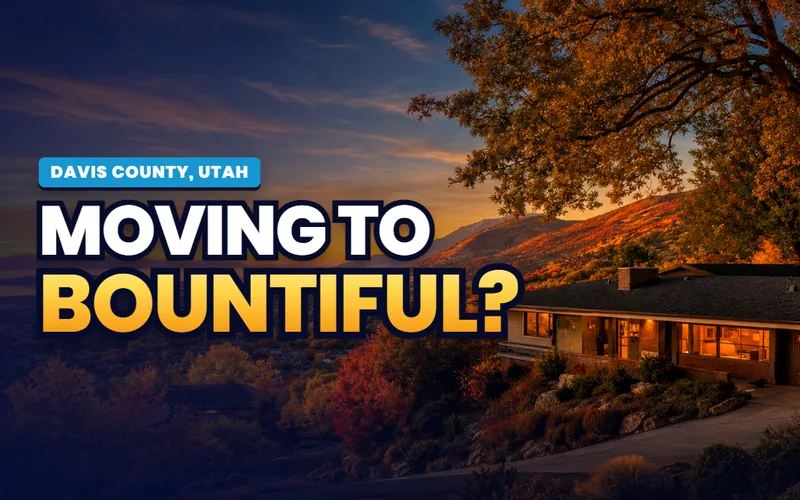
Bountiful

Three canyons off the bench, the county's only year-round ice, and a Handcart Days parade every July, in the county's second largest city.

The city guide
The gateway

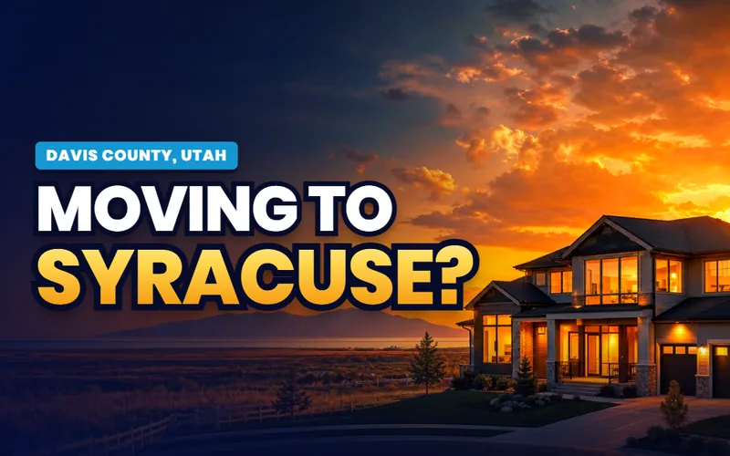
Syracuse

The tollbooth to Antelope Island at the end of 1700 South, the county's fastest growing city in 2024, and the best-documented pond in Davis.

The city guide

The base's front door

Clearfield

The South and West gates, the Freeport Center on a 1943 naval depot, the aquatic center and the FrontRunner station that serves the base.

The city guide

The bench town

Kaysville

The university's four ponds, the Cherry Hill line it shares with Fruit Heights, and a Main Street on the old US-89 alignment.

The city guide
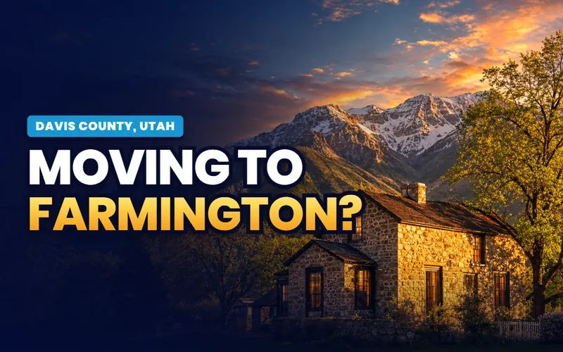
The county seat

Farmington

Lagoon inside the city, the county's offices, the FrontRunner station where the Legacy trail ends and Station Park stands, and the bay's front gate.

The city guide
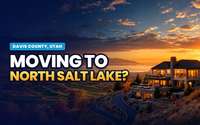
The south end

North Salt Lake

Where the Legacy trail begins at the Jordan River handoff, the bench neighborhoods above I-15, and no train station of its own.

The city guide
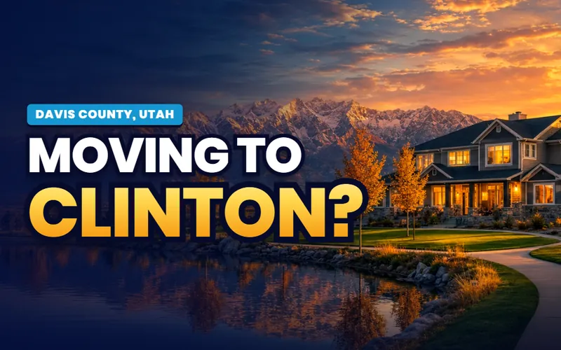
The west shore

Clinton

One of the larger companions in the phase at more than 23,000, an aerated city pond, and a founding story shared with Sunset next door.

The city guide
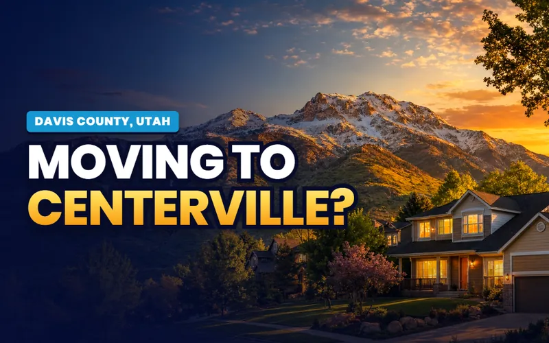
Two canyons

Centerville

Deuel Creek's two branches and the falls, Parrish Canyon's west way up Bountiful Peak, and Pages Lane on the Legacy trail.

The city guide
The last farm ground

West Point

The county's northwest corner where the West Davis Highway now ends, one of five cities that grew in 2024, and the agricultural edge.

The city guide

The train station

Woods Cross

The FrontRunner station at 750 South 800 West, Mountain View Park on the Legacy trail, and a refinery that carries its name but sits next door.

The city guide
The Weber Canyon mouth

South Weber

The county's northeast corner at the US-89 and I-84 junction, the base's eastern approach, and its own end of the Weber River trail.

The city guide

Bair Canyon

Fruit Heights

The smallest bench town, Bair Canyon's misspelled sign, the orchards US-89 was cut through, and the Cherry Hill brochure's own address.

The city guide

Birnam Woods

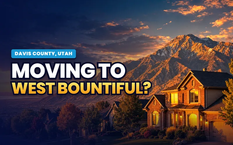
West Bountiful

The Legacy trailhead behind the subdivision, the refinery inside the city line, and the two mile FrontRunner 2X segment north of Woods Cross.

The city guide

The smallest city

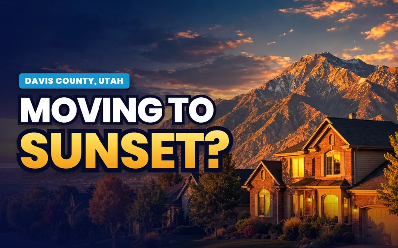
Sunset

Named in 1916 for the sunsets over the lake, incorporated 1935, the base's West Gate on its border, and Main Street reshaped by the interstate.

The city guide

Quick answers


Davis County, answered.

The city guides at /cities/ answer whether to live somewhere: prices, neighborhoods, schools, commutes and the listings. The Local's pages answer what you actually do here and how the place works in practice: what the island's fee covers, whether the crest road is open, whether you need the new permit at the bay, which base gate is yours, which pond allows a paddleboard. For Davis County the practical guides for all fifteen cities are already live, and The Local's editorial layer is arriving on top, county subjects first.

Because in a metro the shared things belong to the county, not to whichever city touches them. Antelope Island is reached from Syracuse but belongs to everyone with a west-facing window, the bench canyons open off five cities, Farmington Bay's marsh runs behind three, and the base's gates open onto three more while its sound reaches all of them. Each shared subject gets one county page here, written once and linked from every city's companion, instead of fifteen overlapping retellings.

Fifteen: Layton, Bountiful, Syracuse, Clearfield, Kaysville, Farmington, North Salt Lake, Clinton, Centerville, West Point, Woods Cross, South Weber, Fruit Heights, West Bountiful and Sunset. Every one has a full practical city guide live now, and each gets its own companion on The Local as the build waves land, starting with Bountiful, North Salt Lake and Woods Cross at the south end.

Slowly, and from within. The county had about 381,000 people in July 2025 and grew 0.73 percent over the year, slower than Utah as a whole, with net migration only 13 percent of the change; the rest was births. Only five of the fifteen cities gained population in 2024, led by Syracuse and West Point where land remains, and the south-county bench cities were flat or slightly down because they are built out. That is a supply story rather than a demand story, and the city guides carry each town's honest version.

On the wildlife management area, yes if you are 18 or older: since July 1, 2026 you need a valid Utah hunting, fishing or combination license or the wildlife division's free digital access permit, obtained on the division's WMA page after a short educational presentation and good for 365 days. The permit is not required at the Eccles Wildlife Education Center or the trails on its reserve, and anyone under 18 is exempt. The bay page here carries the closures, the gate hours and the birding calendar.

The base publishes the answer: about 45,000 flight operations a year, mostly F-35As, with the loud side of the pattern flipping from south to north when winds exceed ten knots, night training anticipated to finish before midnight with notice, and range detonations two or three times a week from April through October that can carry to the front under an inversion. The 2018 AICUZ study maps the noise contours and accident potential zones, no disclosure is required by law, and the Air Force recommends buyers read the map; the base page here carries all of it.

Scott Buehler is based in Southern Utah, so for on-the-ground work in Davis County he connects buyers and sellers with a trusted local partner agent and stays on the file for the research and the financing side. If you work with a referred agent, that agent's brokerage pays a referral fee to Real Broker, LLC out of the agent's compensation rather than as an added cost to you, and using a referred agent is never required.

Scott Buehler, Moving Utah

A built-out county between a lake and a wall. The same honest help.

My base is Southern Utah, so for the on-the-ground work in Davis County I connect buyers and sellers with a trusted local partner agent and stay on the file for the homework and the financing side. Tell me which end of the county you are weighing, the south bench, the base towns or the west shore where the houses are still going up, and I will get you the honest version.

Referral disclosure. Outside Southern Utah, I connect home sellers and buyers with partner agents I trust in their area. If you choose to work with an agent I refer, that agent's brokerage pays my brokerage (Real Broker, LLC) a referral fee. The fee comes out of the agent's compensation; it is not an added cost to you. You are always free to choose any agent you wish, and using a referred agent is never required.