
The sixth region, the first rural corridor
Four valleys, one corridor
Central Utah, from The Local
A rural corridor, not a metro: four valleys strung along Interstate 15 and Interstate 70 between mountain walls, from Nephi at the north gate down to the Sevier Valley, with the Sanpete Valley and its Scandinavian Main Streets tucked behind the San Pitch Mountains and the West Desert opening past Delta. About 75,000 people live across Juab, Sanpete, Sevier and Millard counties, most of them in farm towns and college towns rather than suburbs, and Richfield sits in the middle as the service hub everything else is a drive from. The Local arrives here region first: the seven subjects every town shares get their own pages, and companion guides for the eleven towns follow.
Start here
Four valleys along two Interstates, walled by the same plateau
Central Utah is a corridor, not a bowl. Interstate 15 runs down the west side through Nephi and Fillmore, the way almost everyone arrives from the Wasatch Front. Near Cove Fort, Interstate 70 branches east and climbs into the Sevier Valley past Richfield and Salina before crossing a long empty stretch toward Green River. Behind the San Pitch Mountains, out of sight of both freeways, US-89 threads the Sanpete Valley through Mount Pleasant, Ephraim, Manti and Gunnison, the old pioneer spine. Four valleys, four sub corridors, one region.
The Wasatch Plateau walls the whole east side, and its ridge road, Skyline Drive, runs more than 100 miles along the top at nearly 10,000 feet. Every Sanpete canyon climbs to it. The Sevier River threads much of the valley floor from south to north, the West Desert opens flat and dry west of Delta toward Great Basin National Park, and Mount Nebo, the highest peak in the Wasatch Range at 11,928 feet, stands over Nephi at the north gate. About 75,000 people live across the four counties, most of them in farm towns and college towns rather than suburbs.
Like the regions before it, Central Utah reads region first on The Local, because the things that define life here belong to no single town: Skyline Drive and the plateau, the Scandinavian Main Streets, Fish Lake and the high lakes, the West Desert and its dunes, the ancient rock art off I-70, the turkey and hay country, and the warm water reservoir off I-15. Each gets one page below, written once, and each town's own guide routes to them. Richfield, with the Sevier County offices, sits in the middle as the service hub the rest of the corridor drives to for a hospital, a big store, or a government office.
Central Utah at a glance
11
towns with full guides here
7
shared subjects live on The Local
4
counties from Juab to Millard
11,928 ft
Mount Nebo over the north gate
Live now
Seven subjects the whole corridor shares
The plateau road, the Scandinavian Main Streets, the mountain lake, the desert dunes, the ancient rock art, the farm country and the warm water reservoir. Each belongs to several towns at once, so each gets one region page rather than eleven retellings, written to help someone deciding on the corridor from out of state.
The high spine
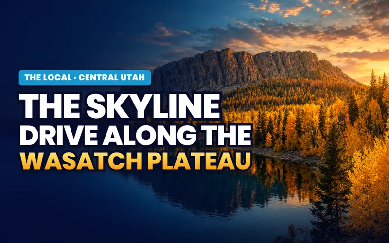
Skyline Drive and the Wasatch Plateau
More than 100 miles of high ridge road along the Wasatch Plateau, the wall every Sanpete canyon climbs to reach, open in summer and fall and buried in snow the rest of the year.
Read the page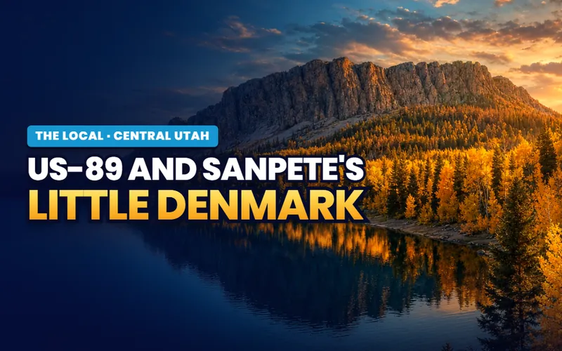
Little Denmark
US-89 and Sanpete's Scandinavian Main Streets
The Scandinavian Heritage Highway: the stone Main Streets of Mount Pleasant, Ephraim, Manti and Gunnison, the Danish pioneer roots, and Spring City, a whole town on the National Register.
Read the page
The mountain lake
Fish Lake and the High Lakes
Utah's largest natural mountain lake up in the Fishlake forest, its lake trout and splake, the historic lodge, and Pando, the aspen grove described as the largest single organism on Earth.
Read the page
Sand and sky
Little Sahara, Topaz and the West Desert
The dunes at Little Sahara, the Sevier Desert and the Great Basin edge west of Delta, and the World War II incarceration site at Topaz, told with care.
Read the page
Ancient Utah
Fremont Indian and Clear Creek Canyon
Fremont Indian State Park in Clear Creek Canyon off I-70, the rock art panels, and the story of the largest Fremont village ever excavated, uncovered when the freeway came through.
Read the page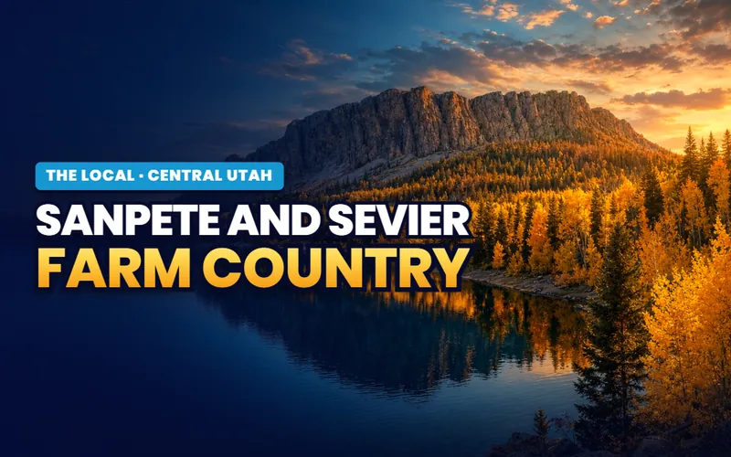
Turkey town and hay
Sanpete and Sevier Farm Country
The valley floor economy: Moroni's turkeys, the alfalfa and hay, and the working farms that fill the Sanpete and Sevier valleys between the mountain walls.
Read the page
The warm water lake
Yuba State Park and the Sevier Bridge Reservoir
The warm water reservoir off I-15 between Nephi and Scipio: sandy beaches, walleye and perch, boat in camping, and rock art at Painted Rocks, with water levels that swing year to year.
Read the pageGetting around
Two Interstates, one old spine, and no train at all
Interstate 15 is the front door. It runs down the west side of the region through Nephi and Fillmore, and Nephi sits about an hour south of Provo, so most people arriving from the Wasatch Front reach Central Utah on I-15. Near Cove Fort, at the Millard and Beaver county line, Interstate 70 branches east and climbs into the Sevier Valley, running past Richfield and Salina. East of Salina the freeway crosses a famously empty stretch toward Green River, the longest run of Interstate in the country without services, so Salina is the last full stop for many miles and drivers top off the tank there.
US-89 is the old spine and the third road that matters. It runs up the Sanpete Valley behind the San Pitch Mountains, out of sight of both freeways, linking Mount Pleasant, Ephraim, Manti and Gunnison before dropping into the Sevier Valley near Salina and continuing south through Richfield and Monroe. Getting from the I-15 side to the Sanpete side means crossing a mountain gap, and the plateau to the east has only the seasonal Skyline Drive over the top, so the valleys stay a little separate even now. There is no passenger rail anywhere in Central Utah, and no commercial airport; the nearest big airport is Salt Lake City.
What that adds up to is a region where distance is the honest asterisk. Richfield is the service hub because it is central: a hospital, the big stores, and the government offices that three or four counties share are here, and everything else is a drive. Winter adds its own note, since I-70 and the mountain passes can close or slow in a storm and the empty stretches leave little margin. For a major medical center, a major airport, or the biggest shopping, the corridor still looks north to Provo and Salt Lake or, from the south end, toward Cedar City and St. George.
The four sub corridors
Learn the four sub corridors and the whole region makes sense
Central Utah is easiest to hold in your head as four strings of towns. The I-15 string, Juab County, is the north door: Nephi at the foot of Mount Nebo and little Mona nine miles north, the fastest reach from Provo and Salt Lake and the launch for Yuba State Park. The Sanpete Valley, along US-89 behind the San Pitch Mountains, is Little Denmark: Mount Pleasant, Ephraim with its Snow College, Manti with its temple on the hill, and Gunnison at the south gate, a chain of stone Scandinavian Main Streets under the Wasatch Plateau. The Sevier Valley, along I-70 and the Sevier River, is the working center: Salina at the crossroads, Richfield the service hub, and Monroe with its hot springs under Monroe Mountain. And Millard and the West Desert reach west: Fillmore, Utah's first territorial capital, on I-15, and Delta out on the Great Basin edge, the launch for the dunes and the desert. The seven subject pages carry each of these in detail, and the eleven town guides go deeper still.
Live now
Richfield, the region's service hub
Richfield held 8,201 residents at the 2020 census, the largest town in Sevier County and home of its county offices, sitting where Interstate 70 crosses US-89 on the Sevier River valley floor. It is the service center a wide, thinly settled stretch of central Utah drives into, holding the hospital, the college campus and the region's big arena that the whole valley uses. The companion carries all of it across ten guides: the ranked things to do, the service-hub story, the Paiute ATV trail from town streets, the mountain roads up both valley walls, historic downtown, everyday shopping and healthcare, the parks and the Sevier River, the day trips within ninety minutes, the annual calendar, and what to weigh before a move.

The companion
Richfield, all of it
Home of the Sevier County offices, at the I-70 and US-89 crossroads, across ten guides.
Open the companion
Things to do
Top 12 things to do
The ranked picks in and around town, from the Paiute Trail to the arena.
Read the guide
The service hub
What makes Richfield different
The hospital the valley drives to, the college campus and the crossroads.
Read the guide
Ride from town
The Paiute ATV Trail
A street-legal ride onto a 275-mile main loop and more than 1,000 miles of side trails.
Read the guideLive now
Nephi, a small town with two big stories
Nephi held 6,443 residents at the 2020 census, the largest town in Juab County and home of its county offices, an Interstate 15 town at the mouth of Salt Creek Canyon under the highest peak in the Wasatch Range. What sets it apart is not the freeway exit but two rare stories behind an ordinary Main Street: it is the hometown The Killers built a whole album around, and it is where Utah played its first recorded baseball game, on New Year's Day in 1875. The companion carries the town across six guides: the ranked things to do, Mount Nebo and Salt Creek, the Brandon Flowers hometown story, that first baseball game, the Ute Stampede rodeo, and the lived texture of everyday life.

The companion
Nephi, all of it
Home of the Juab County offices, under Mount Nebo, across six guides.
Open the companion
Things to do
Top 10 things to do
The ranked picks in and around town, from the Nebo Loop to Pioneer Park, each with season and cost.
Read the guide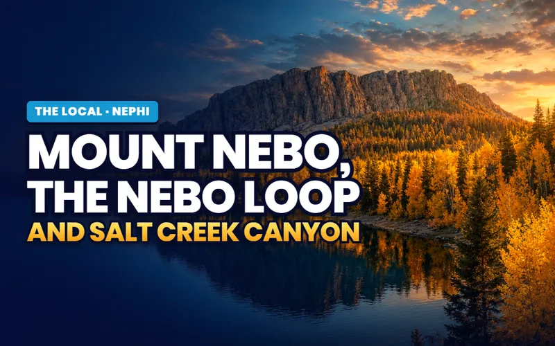
Up the canyon
Mount Nebo and Salt Creek
The highest peak in the Wasatch Range and the Nebo Loop byway, climbed from the south end at Nephi.
Read the guide
What makes it different
Brandon Flowers's hometown
The town The Killers built the album Pressure Machine around, and the courthouse town behind it.
Read the guideLive now
Mona, a lavender town under the mountain
Mona counted 1,750 residents at the 2020 census, a small rural town in northern Juab County strung along the acreage lots of the valley floor where Interstate 15 runs below Mount Nebo. Two things put it on the map: the Young Living lavender farm that fills the north edge with purple rows each summer, and Mona Reservoir a few miles north under the peak. The companion carries the town across four guides: the things to do, the lavender farm, the reservoir, and the quiet country living, with the groceries and county offices nine miles south in Nephi.
The companion
Mona, all of it
A small acreage town under Mount Nebo, across four guides.
Open the companion
Things to do
Top 7 things to do
The ranked picks in and around town, from the lavender fields to Burraston Ponds and a Nephi day trip.
Read the guide
The signature
The Young Living lavender farm
The working farm and distillery on the north edge, and the late June bloom.
Read the guide
On the water
Mona Reservoir
Fishing, paddling and birding under Mount Nebo, with the quieter Burraston Ponds just south.
Read the guideLive now
Ephraim, the Sanpete Valley's college town
Ephraim has about 6,400 residents (Census 2025), the largest city in Sanpete County and the town Snow College calls home, on US-89 in the middle of the valley. The two-year college fills the center of town and sets the pace of ordinary weeks, its academic year, arts season and Badger games running the calendar, and under that runs an older Danish layer, the reason the town answers to Little Denmark. The companion carries the town across seven guides: the ranked things to do, Snow College, the Scandinavian heritage and its spring festival, Ephraim Square and the pioneer Co-op, Ephraim Canyon, and the everyday and moving sides of settling in.

The companion
Ephraim, all of it
The Sanpete Valley's Snow College town, across seven guides.
Open the companion
Things to do
Top 12 things to do
The ranked picks in and around town, from the campus arts season to the canyon road.
Read the guide
The college
Snow College and the college town
The two-year college that shapes the town, its campus, arts season and Badger sports.
Read the guide
Little Denmark
Scandinavian heritage and festival
The Danish founding and the Scandinavian Festival each Memorial Day weekend.
Read the guideLive now
Manti, the courthouse town beneath Temple Hill
Manti counted 3,429 residents at the 2020 census, home of the Sanpete County offices and one of the oldest towns in central Utah, on US-89 at the quiet south end of the valley. The thing that defines it is stone: the 1888 temple stands on Temple Hill in cream-colored oolite limestone quarried from the hill itself, and the same stone runs down Main Street through the courthouse and a long row of pioneer buildings. The companion carries the town across six guides: the ranked things to do, the temple and Temple Hill, the historic buildings and Main Street, Palisade State Park, and the everyday and moving sides of a move.

The companion
Manti, all of it
Home of the Sanpete County offices, under its 1888 temple, across six guides.
Open the companion
Things to do
Top 10 things to do
The ranked picks in and around town, from Temple Hill to the reservoir at Palisade.
Read the guide
The temple
The Manti Temple and Temple Hill
The 1888 landmark on the hill, the oolite stone, the open grounds, and how to visit.
Read the guide
Main Street
Historic buildings and Main Street
A self-guided walk past the oolite courthouse, old city hall, Carnegie library and church.
Read the guideLive now
Mount Pleasant, where a boarding school meets a stone Main Street
Mount Pleasant held 3,655 residents at the 2020 census, the town in the northern Sanpete Valley on US-89, best known for a pairing you would not expect in a farm valley: Wasatch Academy, an international college-prep boarding school running since 1875, and a downtown of pioneer stone and brick the National Register lists as a historic district. It is also the north valley's medical anchor, with Sanpete Valley Hospital on the south edge of town. The companion carries the town across six guides: the ranked things to do, Wasatch Academy, the historic Main Street and the 1872 Black Hawk peace treaty, Pleasant Creek Canyon, and the everyday and moving sides of settling in.

The companion
Mount Pleasant, all of it
A north Sanpete town of stone Main Street and a boarding school, six guides.
Open the companion
Things to do
Top 10 things to do
The ranked picks in and around town, from the academy grounds to the canyon road.
Read the guide
The boarding school
Wasatch Academy
The college-prep boarding school running since 1875 and its place in the town.
Read the guide
Main Street
Historic Main Street and the 1872 treaty
The pioneer stone downtown, the historic district, and the Black Hawk War peace treaty.
Read the guideLive now
Gunnison, the farm town that makes its own culture
Gunnison counted 3,509 residents at the 2020 census, a total that includes the state correctional facility, with the residential town running about two thousand, at the south end of Sanpete County on US-89 where the highway follows the San Pitch River. For its size it makes an unusual amount of its own culture: a 1913 movie house still selling tickets to first-run films, a 218-foot tile dragon that roars under the highway bridge, and its own 25-bed hospital. The companion carries the town across six guides: the ranked things to do, the Casino Star Theatre, what makes Gunnison different, the San Pitch River, and the everyday and moving sides of a move.

The companion
Gunnison, all of it
The south gate of the Sanpete Valley on the San Pitch, across six guides.
Open the companion
Things to do
Top 8 things to do
Ranked picks in and around town, from the dragon to Nine Mile Reservoir.
Read the guide
Signature
The Casino Star Theatre and the Sanpitch Dragon
A 1913 movie house and a 218-foot tile dragon, made by the same town.
Read the guide
The identity
What makes Gunnison different
A south Sanpete farm town that helped found Utah's turkey cooperative.
Read the guideLive now
Salina, the crossroads at the edge of the empty
Salina counted 2,441 residents at the 2020 census, a crossroads town in Sevier County where Interstate 70 meets US-50 and US-89 at the top of the valley. It is the last town with full services before the longest stretch of Interstate in the country with no gas, food, or lodging, the empty run east across the San Rafael Swell to Green River. Its Main Street still turns out a hat famous on national television. The companion carries the town across six guides: the ranked things to do, Burns Saddlery and Main Street, the closest town to the San Rafael Swell, the I-70 crossroads, and the everyday and moving sides of a move.

The companion
Salina, all of it
The I-70 crossroads at the head of the Sevier Valley, across six guides.
Open the companion
Things to do
Top 8 things to do
Ranked picks in town and near it, from Main Street to the Paiute Trail, each with a cost and a drive time.
Read the guide
The signature
Burns Saddlery and Main Street
The family saddle shop that makes John Dutton's black hat, and the cafe serving Utah scones since the 1920s.
Read the guide
Outdoors
The closest town to the San Rafael Swell
Where I-70 turns east toward the Swell, with the Paiute ATV Gooseberry trailhead about nine miles out.
Read the guideLive now
Monroe, the little green valley on top of hot water
Monroe counted 2,515 residents at the 2020 census, a small farm town in Sevier County set in an irrigated valley locals call the Little Green Valley. What sets it apart is underfoot: the east bench is an active geothermal field, where two hot springs surface at about 168 degrees, one slowly cementing its cast-iron soaking tubs into a travertine mound. The town sits directly under Monroe Peak and leans on Richfield, fifteen minutes north, for the hospital and full groceries. The companion carries the town across six guides: the ranked things to do, Mystic Hot Springs, the geothermal town story, Monroe Peak and the canyons, and the everyday and moving sides of a move.
The companion
Monroe, all of it
A geothermal farm town under Monroe Peak, across six guides.
Open the companion
Things to do
Top 8 things to do
Ranked picks in town and near it, from a soak at the hot springs to the drive up the mountain, each with a cost and a drive time.
Read the guide
The signature
Mystic Hot Springs
The 168-degree spring, the cast-iron tubs cementing into travertine, and the converted school buses you can sleep in.
Read the guide
What makes it different
A geothermal town
How the Little Green Valley came to sit on an active geothermal field, with two hot springs and a travertine mound.
Read the guideLive now
Delta, where the Sevier River runs out into the west desert
Delta held 3,622 residents at the 2020 census, the largest town in Millard County, a farm and desert town on the Sevier River and the point where settled, paved Utah gives way to the open west desert. What makes it worth a stop is mostly what lies around it: Cambrian shale full of trilobites you can split yourself, the Topaz site and its museum, Gunnison Bend Reservoir out on the river, and the long road west toward the Great Basin. The companion carries the town across seven guides: the ranked things to do, the Topaz story, the U-Dig trilobite quarry, Gunnison Bend Reservoir, Delta's deep history, the day trips west, and the lived texture of everyday life.
The companion
Delta, all of it
The largest Millard County town on the west desert edge, seven guides.
Open the companion
Things to do
Top 10 things to do
Trilobites, the Topaz site, the museum and the reservoir, ranked for a first trip.
Read the guide
WWII history
Topaz and the museum
The Topaz War Relocation Center out on the desert, and the museum in town that tells it.
Read the guide
Dig your own
U-Dig and trilobite country
Splitting Cambrian shale for your own trilobites in the House Range, west of town.
Read the guideLive now
Fillmore, the courthouse town at Utah's midpoint
Fillmore counted 2,592 residents at the 2020 census, home of the Millard County offices and a town that was once meant to be the capital of Utah. When the territory was young the legislature picked this spot near the center of the map for its seat of government and started a sandstone statehouse here, before the capital moved north to Salt Lake City. What stayed is the building, the courthouse role, and a farming and freeway town at the foot of the Pahvant Range. The companion carries the town across six guides: the ranked things to do, why Fillmore became the first capital, the historic-district walk, Chalk Creek and the Pahvant Range, and the everyday and moving sides of a move.

The companion
Fillmore, all of it
The courthouse town and Utah's first capital, across six guides.
Open the companion
Things to do
Top 10 things to do
The Statehouse, Chalk Creek, Meadow Hot Springs and Cove Fort, ranked with costs and drive times.
Read the guide
Why it mattered
Utah's first capital
How the young territory chose Fillmore in 1851, and why the capital did not stay.
Read the guide
On foot
The historic district walk
A self guided route through the Statehouse grounds, Main Street and the pioneer era core.
Read the guideCity guides
Eleven towns, on the practical side
Every town in the corridor carries a full practical guide: prices, neighborhoods, schools, utilities and the listings themselves. As each town's companion goes live on The Local, its band appears on this page above this list, with Richfield first in line as the region's service hub.
The north door on I-15
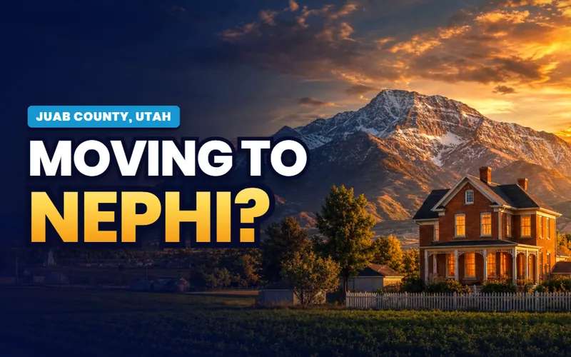
Nephi
Home of the Juab County offices, at the foot of Mount Nebo, where most Wasatch Front traffic enters Central Utah, about an hour south of Provo on Interstate 15.
The city guide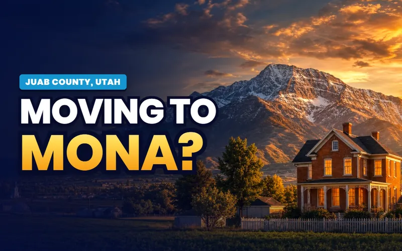
Below the reservoir
Mona
A small Juab town just south of Nephi under Mount Nebo, known for its reservoir, the Burraston Ponds, and the drive down to Yuba State Park.
The city guide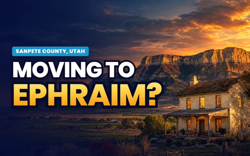
Snow College town
Ephraim
The largest town in the Sanpete Valley, built around Snow College and a stone pioneer Main Street on the US-89 heritage corridor.
The city guide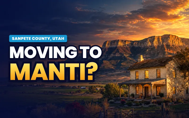
The temple town
Manti
Home of the Sanpete County offices on US-89, its 1888 temple standing on the hill above a Scandinavian pioneer Main Street.
The city guide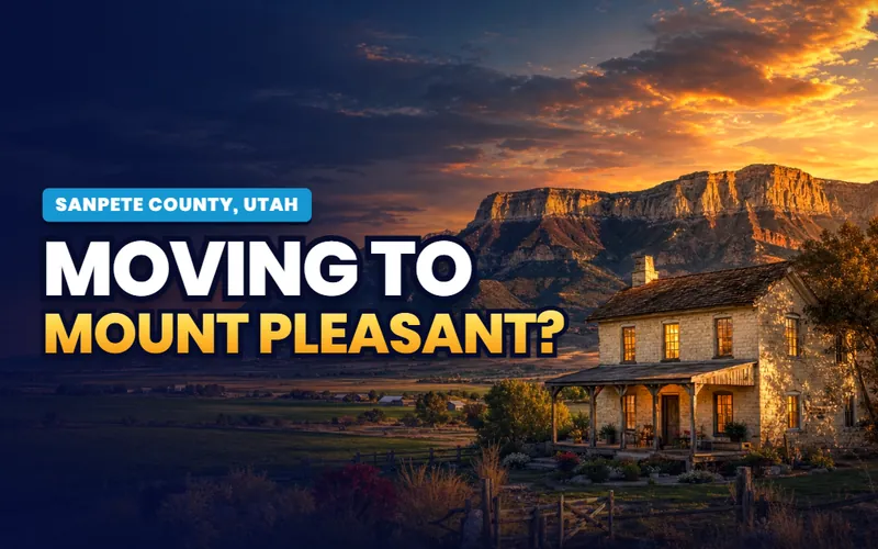
Historic Main Street
Mount Pleasant
A north Sanpete town with one of Utah's deepest stretches of historic Main Street architecture, and Wasatch Academy on the hill.
The city guide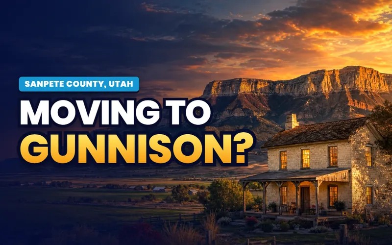
The valley's south gate
Gunnison
Where the Sanpete Valley meets the Sevier River road, a farm town with the historic Casino Star Theatre still lit on Main Street.
The city guide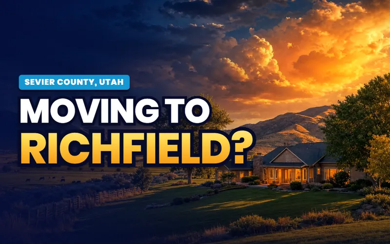
The service hub
Richfield
Home of the Sevier County offices, at the I-70 and US-89 crossroads, the retail, medical and government center for a wide stretch of rural Central Utah.
The city guide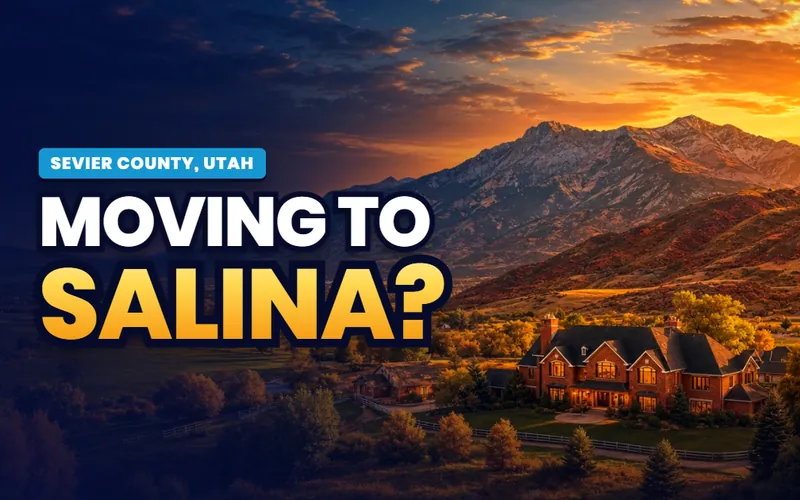
The crossroads
Salina
The knot where US-89 out of Sanpete meets I-70 and US-50, the last full service stop before the long empty Interstate east across the San Rafael.
The city guide
The hot springs town
Monroe
A Sevier Valley town at the foot of Monroe Mountain, warmed by geothermal springs and home to the Mystic Hot Springs.
The city guide
West into the Great Basin
Delta
A Millard County farm town on the western desert edge, the launch for the dunes, the trilobite beds and Great Basin National Park beyond.
The city guide
Utah's first capital
Fillmore
Home of the Millard County offices, on I-15, where the Territorial Statehouse still stands as Utah's first seat of government.
The city guideQuick answers
Central Utah, answered
The city guides at /cities/ answer whether to live somewhere: prices, neighborhoods, schools, commutes and the listings. The Local answers what a place is actually like and how the corridor works day to day: which road gets you onto Skyline Drive, how far Fish Lake really is from Richfield, where the Scandinavian Main Streets run, and what a warm water reservoir off I-15 is good for. The Local arrives here region first, and a companion guide for each of the eleven towns follows on top of the practical guides that are already live.
Because the things that define Central Utah belong to no single town. Skyline Drive runs the whole eastern wall, and every Sanpete canyon climbs to reach it. Fish Lake sits up in the mountains a drive from several towns at once. The turkey farms and hay ground fill two valleys. Each shared subject gets one region page here, written once and linked from every town's guide, instead of eleven overlapping retellings.
Eleven carry full guides across four counties: Nephi and Mona in Juab; Ephraim, Manti, Mount Pleasant and Gunnison in the Sanpete Valley; Richfield, Salina and Monroe in the Sevier Valley; and Fillmore and Delta in Millard. Richfield, where the Sevier County offices are, is the region's service hub. A few historic places below the site's population floor, like Spring City, are covered inside the region pages rather than on their own guide.
It is a rural corridor, not a metro: four valleys strung along I-15 and I-70 between mountain walls, roughly 150 miles from the Juab line to the south end of the Sevier Valley. The Wasatch Plateau and Skyline Drive wall the Sanpete Valley on the east, the Sevier River threads much of the floor, and the West Desert opens west of Delta. Farming, Snow College in Ephraim, and the service economy in Richfield carry most of the working life. Housing growth is steady rather than fast, and most of it lands near the I-15 towns closest to the Wasatch Front.
Two Interstates and one historic highway. I-15 runs the west side through Nephi and Fillmore, the way most people reach the region from the Wasatch Front, about an hour south of Provo to Nephi. I-70 branches east near Cove Fort and runs through the Sevier Valley past Richfield and Salina, then crosses a long empty stretch toward Green River, so Salina is the last full service stop for many miles. US-89, the old spine, runs up the Sanpete Valley through Mount Pleasant, Ephraim, Manti and Gunnison and on into the Sevier Valley. There is no passenger rail and no commercial airport in the region.
Skyline Drive along the Wasatch Plateau in summer and fall; Fish Lake and the high lakes for fishing, with the Pando aspen grove nearby; Little Sahara's dunes and the West Desert out past Delta; Fremont Indian State Park's rock art off I-70; the Scandinavian Main Streets and the Manti temple hill along US-89; Mystic Hot Springs in Monroe; and Yuba State Park's warm water off I-15. Each has its own page here, written for someone weighing the corridor from out of state.
Scott Buehler is based in Southern Utah, so for on the ground work in Central Utah he connects buyers and sellers with a trusted local partner agent and stays on the file for the research and the financing side. If you work with a referred agent, that agent's brokerage pays a referral fee to Real Broker, LLC out of the agent's compensation rather than as an added cost to you, and using a referred agent is never required.

Farm towns and college towns. The same honest help
My base is Southern Utah, so for the on the ground work in Central Utah I connect buyers and sellers with a trusted local partner agent and stay on the file for the homework and the financing side. Tell me what you are weighing, an acreage lot on a Sanpete valley floor, a place near Snow College in Ephraim, or a service hub home in Richfield, and I will get you the honest version.
Referral disclosure. Outside Southern Utah, I connect home sellers and buyers with partner agents I trust in their area. If you choose to work with an agent I refer, that agent's brokerage pays my brokerage (Real Broker, LLC) a referral fee. The fee comes out of the agent's compensation; it is not an added cost to you. You are always free to choose any agent you wish, and using a referred agent is never required.