
Region Six counties, Grand to Duchesne
The long side of the state
Eastern Utah, from The Local
Canyon country with two national parks at one end, a coalfield whose railroad street turned into an arts district in the middle, and a basin full of dinosaur quarries at the other. Nine towns, three separate economies, one long highway.
Start here
One region on the map, three places on the ground
Eastern Utah is everything between the Wasatch Plateau and the Colorado line: the least populated flank of the state and the one carrying the scenery most of the world flies in for. It is not one place. It is three belts of country that happen to share a map edge, threaded together by US-191 running most of the length of it.
The south is canyon country. Moab sits on the Colorado River between Arches and the Island in the Sky district of Canyonlands, with the La Sal Mountains behind it, and Monticello and Blanding hold the high ground further down US-191, the two closest towns to Bears Ears, the Needles and Cedar Mesa. The middle is Carbon and Emery counties: Price, Helper and Huntington, coal and railroad towns under the Book Cliffs that have been reinventing themselves for thirty years, with the San Rafael Swell out their back door. The north is the Uinta Basin: Vernal, Naples and Roosevelt along US-40, where the dinosaur quarries, Flaming Gorge and the energy economy all live.
What the three belts share is public land at the back fence and real distance from everywhere else. Price is the only one of the nine towns within about two hours of the Wasatch Front, and Moab is closer to Grand Junction, Colorado than to any Utah metro. Each belt runs on its own economy, its own weather and its own calendar, which is why every town here gets its own pages rather than one regional gloss.
Eastern Utah at a glance
2
national parks, Arches and Canyonlands
6
counties, Grand to Duchesne
9
towns with full city guides here
~230 mi
Salt Lake City to Moab by road
Live now
Moab, the town between two national parks
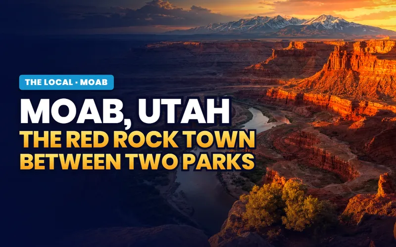
Home of the Grand County offices, at about 4,025 feet, with the Arches entrance five miles north of Main Street, the Island in the Sky district of Canyonlands forty minutes up the highway, and the Colorado running along the edge of the valley. A hundred mile four-wheel-drive road falls off the Canyonlands rim, a 10.5 mile bike loop laid out for motorcycles in 1969 sits on nine thousand county-managed acres east of town, and a 12,721 foot range makes the summer possible. Seven further pages round out the Moab companion.
The town page
Moab, in full
A town of about 5,400 at 4,025 feet with two national parks, a river, a slickrock reserve and a mountain range all inside an hour.
Read the page
The top 11
Things to do, ranked
Arches at first light, Grand View Point, the Slickrock Trail, Dead Horse Point at sunset and a jet boat to a canyon concert.
Read the top 11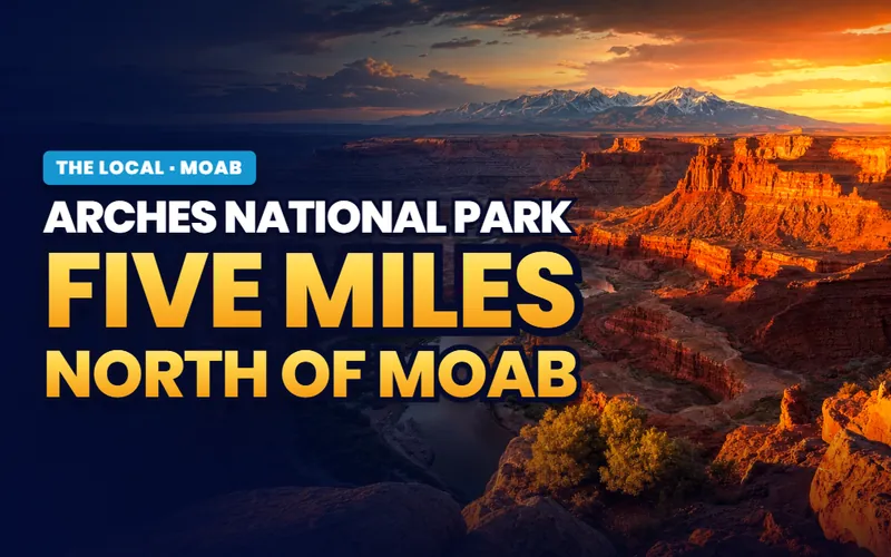
Five miles north
Arches, and the gate
No advance timed-entry reservation required in 2026, an entrance pass still needed, five short marked walks, and Fiery Furnace permits that sell out early.
Read the guide
For movers
Living with the season
Nightly rental decided parcel by parcel, an aquifer with almost no headroom, and a county line through the growth corridor.
Read the guideLive now
Monticello, the high town in canyon country
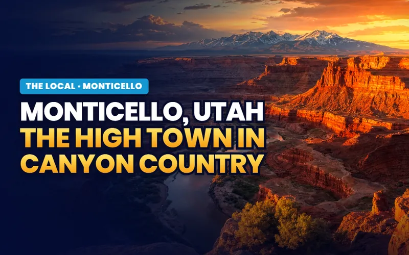
About 1,740 people at roughly 7,000 feet on the east flank of the Abajo Mountains, where dryland wheat country meets the Colorado Plateau. It holds the San Juan County offices, it runs 15 to 20 degrees cooler than Moab through the summer, and the junction for the Needles district of Canyonlands is fourteen miles up the highway. The trade is a genuine winter. Three further pages round out the Monticello companion.
The town page
Monticello, from the crossroads
A working town at seven thousand feet with the county offices and a mountain range behind it, a national park district an hour in front, and two federal highways crossing in the middle.
Read the page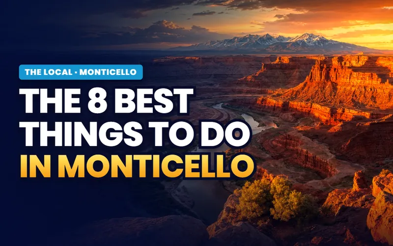
The top 8
Things to do, ranked
An eighteen hole municipal course billed as Utah's highest, a Pioneer Day parade down US-191, a 650 design petroglyph panel and a free rim overlook.
Read the top 8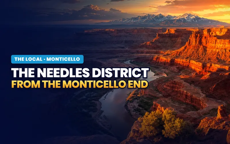
Canyonlands
The Needles district
The junction is fourteen miles north of town and forty south of Moab, which makes this the closest base to the least crowded district in the park.
Read the guide
For movers
The 7,000 foot address
Cool summers, a real winter, property tax above the Utah norm and drought tiered water. What the elevation and the courthouse actually cost.
Read the guideLive now
Blanding, where the mesa runs out
About 3,200 people at 6,100 feet on ground that had no water at all until a canal from Johnson Creek was finished in 1905. Four blocks off Main Street there is an Ancestral Puebloan great house with a museum built beside it and a kiva you can climb down into. Fourteen miles west the mesa breaks into eighty miles of standing sandstone, and forty miles west three natural bridges sit under the first dark sky park in the world. Three further pages round out the Blanding companion.
The town page
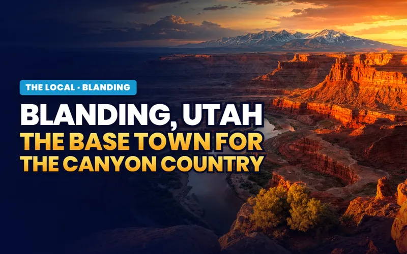
Blanding, from the mesa out
The largest town in Utah's largest county, carrying a hospital, a campus and six utilities on one bill, five hours from anywhere.
Read the page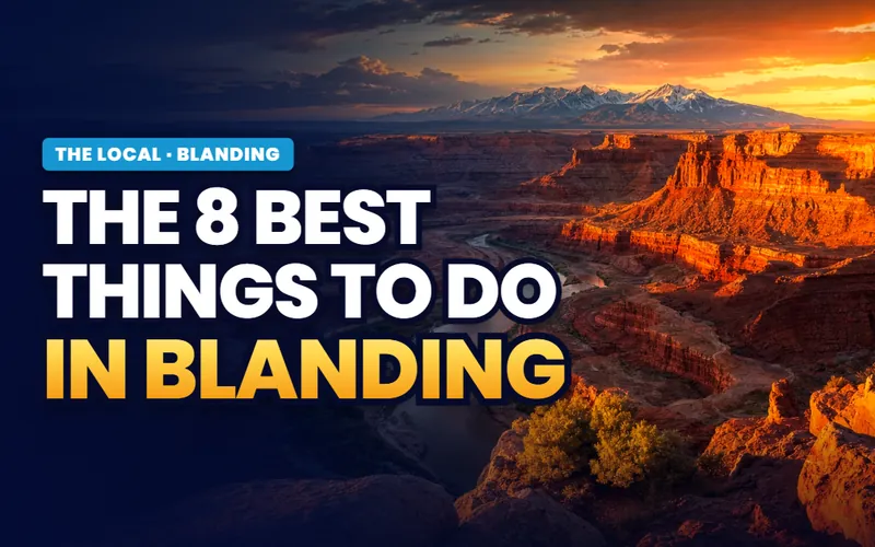
The top 8
Things to do, ranked
A kiva you climb into, a free overlook above a cliff dwelling on UT-95, three natural bridges and a reservoir full of pike.
Read the top 8
The museum
Edge of the Cedars
A Chacoan great house begun about AD 825, a ladder into the kiva, and 800 pots on open shelving behind it.
Read the guide
For movers
The San Juan base camp
What the town actually carries against what 300 miles costs, and the five answers to have in writing before an offer.
Read the guideLive now
Price, the town under the Book Cliffs
About 8,370 people at roughly 5,600 feet where US-6 and US-191 run together beside the Price River, under two hundred miles of escarpment. It is the largest city in Carbon County, it carries a university campus and a regional hospital for a population of eight thousand, and the coal the county was named for stopped coming out around 2020. Three further pages round out the Price companion.

The town page
Price, from the valley floor
A working town with city power for most homes, a museum holding over a million artifacts, and two hundred miles of unfenced escarpment on the skyline.
Read the page
The top 8
Things to do, ranked
A free Thursday evening at an accredited museum, a 1941 WPA mural in a working city hall, a four day August festival and a wave pool the city runs.
Read the top 8
Rock art
Nine Mile Canyon
More than a thousand documented sites along 46 miles, free and unstaffed, on a road a natural gas field paid to pave in 2013.
Read the guide
For movers
The Castle Country address
A municipal utility statement, water fed from about 35 miles northwest, and the two lane canyon that decides whether the commute works.
Read the guideLive now
Helper, named for the engines that pushed
About 2,100 people in the gap where the Price River leaves Price Canyon, in a town called after the extra locomotives the railway kept here to shove coal trains up a 2.4 percent grade to Soldier Summit. The coal reached zero in this county in late 2023. The Main Street the coal paid for survived because nobody could afford to demolish it, and thirty years of artists buying its empty buildings turned it into a gallery row with a festival, a city owned cinema and a rebuilt river behind it. Three further pages round out the Helper companion.

The town page
Helper, in full
A rail town of 2,100 at the mouth of a canyon, with an intact 1900s Main Street, a daily transcontinental train and Price seven miles down the highway.
Read the page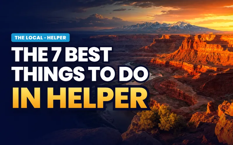
The top 7
Things to do, ranked
A First Friday gallery stroll, a mock coal mine with canary cages, a sandstone labyrinth by the water and an eighteen foot fiberglass miner.
Read the top 7
The second act
The arts revival
A building bought off the back tax roll, a painting course run in it, and the thirty years of small purchases that followed.
Read the guide
For movers
The art town address
Pre 1949 housing where the survey is the negotiation, a municipal electric utility, and the flood map that comes with a river address.
Read the guideLive now
Huntington, where the pavement runs out
About 1,990 people at 5,790 feet, at the exact spot where Huntington Canyon stops being a canyon. It is the largest town in Emery County without holding the county offices. West of Main Street a National Scenic Byway climbs to over 9,600 feet; east of it the San Rafael Swell begins and the roads turn to graded gravel. Three further pages round out the Huntington companion.

The town page
Huntington, from the canyon mouth
A coal town of about 1,990 people with a warm reservoir on its edge, gigabit fiber nobody expects, and two entirely separate landscapes at the ends of its two roads.
Read the page
The top 7
Things to do, ranked
A 237 acre state park reservoir five minutes from town, five miles of artificial fly only creek, a rim above the San Rafael River and the densest Jurassic bone bed known.
Read the top 7
The canyon
The Energy Loop
Forty seven miles of paved byway from Main Street to over 9,600 feet, and a small reservoir at the top that produced a Columbian mammoth in August 1988.
Read the guide
For movers
The Emery County address
What irrigation shares really deliver in a dry year, mineral rights homework in coal country, and the twenty one miles to the nearest emergency room.
Read the guideLive now
Vernal, where the basin meets the bone beds
About 10,700 people at about 5,358 feet on the floor of Ashley Valley, three hours from Salt Lake City on a highway that never becomes an interstate. It holds the Uintah County offices and is the commercial hub of the whole Uinta Basin, with a quarry wall holding roughly 1,500 dinosaur bones twenty miles east and Flaming Gorge forty miles north up a climb of three thousand feet. It is also an oil and gas county, and that shows up in a purchase. Three further pages round out the Vernal companion.
The town page
Vernal, from Ashley Valley
An energy town of about 10,700 people, home of the county offices, with a national monument twenty miles east, a national recreation area forty north, and no interstate in any direction.
Read the page
The top 8
Things to do, ranked
A cliff full of Jurassic bone under a building, a highway signed through 770 million years of rock, the type site for a whole style of Fremont carving, and a PRCA rodeo.
Read the top 8
The monument
Dinosaur, the Utah side
The fossils are all on this side of the state line. How the fee works, why access changes three times a year, and what a passenger car can do past the pavement.
Read the guide
For movers
Living with the boom
What an energy cycle does to rentals, subdivisions and resale timelines, plus severed minerals, water on acreage and the basin's winter ozone record.
Read the guideLive now
Naples, a city inside another town's ZIP code
About 2,490 people on 6.60 square miles at 5,187 feet, with its own mayor, its own police department and its own property tax rate, all of it addressed to Vernal, Utah 84078. It was called Merrill, then Riverdale, then Frogtown before it settled on an Italian city. Almost everything public in it sits on one block of 1900 South, and a 2026 drought closed the splash pad, pushed up the water rates and cancelled the town's aerial fireworks that summer. Three further pages round out the Naples companion.

The town page
Naples, the whole picture
An incorporated city of about 2,490 with its own police force and no ZIP code of its own, three miles from Vernal.
Read the page
The top 5
Things to do, ranked
A 34 acre park with a music park in it, eighteen holes of golf, one free town party and a splash pad that did not open.
Read the top 5
The water
Ashley Creek
From 0.03 cubic feet per second to 4,300. The creek that supplies the taps, floods the low ground and named the town.
Read the guide
For movers
Naples or Vernal
Two tax areas, two water utilities, two police departments and one ZIP code, with the 2025 numbers side by side.
Read the guideLive now
Roosevelt, the basin's working middle
About seven thousand people on a high desert floor at 5,100 feet, with the High Uintas along the whole northern skyline and oil and gas wells on every side of town. It is the largest city in Duchesne County, it carries a hospital, two campuses and two member owned cooperatives, and it sits inside the boundary of the Uintah and Ouray Reservation. Three further pages round out the Roosevelt companion.

The town page
Roosevelt, from the crossroads
One highway east and west, a set of canyon roads going north, and more institution than a town of seven thousand usually carries.
Read the page
The top 7
Things to do, ranked
A summer celebration that closes a federal highway, fourteen acres of restored creek bottom, a pump track and an 8,100 foot reservoir.
Read the top 7
The mountains
The Uintas' south slope
Four canyon roads out of the basin, none of them joined to another, ending under the largest wilderness area in Utah.
Read the guide
For movers
The checkerboard address
One extra question in the title work, an economy that moves with the oil price, and the six answers to have in writing before an offer.
Read the guideCity guides
Nine towns, on the practical side
Every town in the region carries a full practical city guide: prices, neighborhoods, schools, utilities and the listings themselves. Those guides answer whether to live there; the town pages here tell you what the place is actually like.
The canyon country anchor
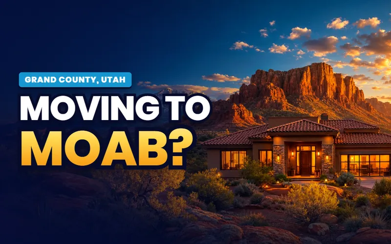
Moab
The base for Arches and the Island in the Sky, with the Colorado River running past town and slickrock trail starting at the city limits.
The city guide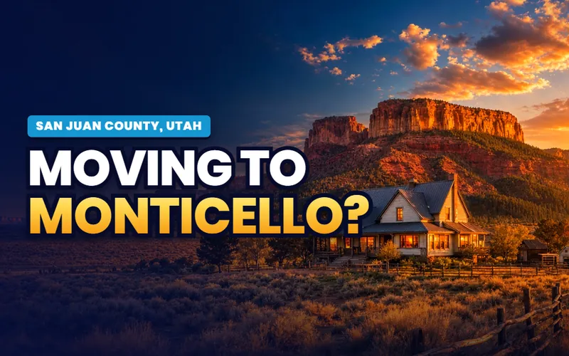
~1 hr south of Moab
Monticello
Home of the San Juan County offices, at about 7,000 feet under the Abajo Mountains, the cool high town between the Needles and Bears Ears.
The city guide
San Juan County's largest town
Blanding
Edge of the Cedars State Park sits inside the town itself, with Comb Ridge, Butler Wash and Cedar Mesa minutes to the west.
The city guide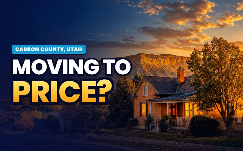
Home of the Carbon County offices
Price
A college town under the Book Cliffs, with the USU Eastern prehistoric museum downtown and Nine Mile Canyon's rock art in reach.
The city guide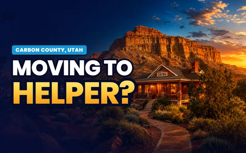
7 miles from Price
Helper
A railroad town on the Price River whose Main Street has filled with galleries and studios, at the mouth of Price Canyon.
The city guide
Emery County
Huntington
A farm town at the mouth of Huntington Canyon, with a state park reservoir on its edge and the San Rafael Swell out the back door.
The city guide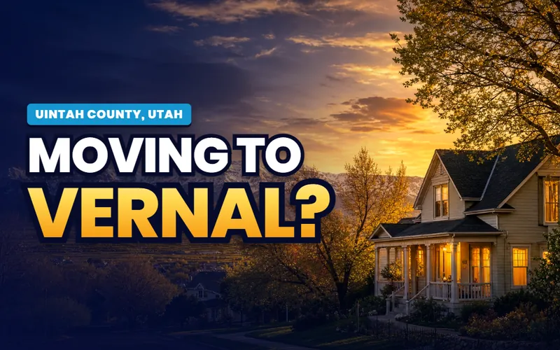
Home of the Uintah County offices
Vernal
The base for Dinosaur National Monument, Flaming Gorge and Red Fleet, at the center of the Uinta Basin's northern edge.
The city guide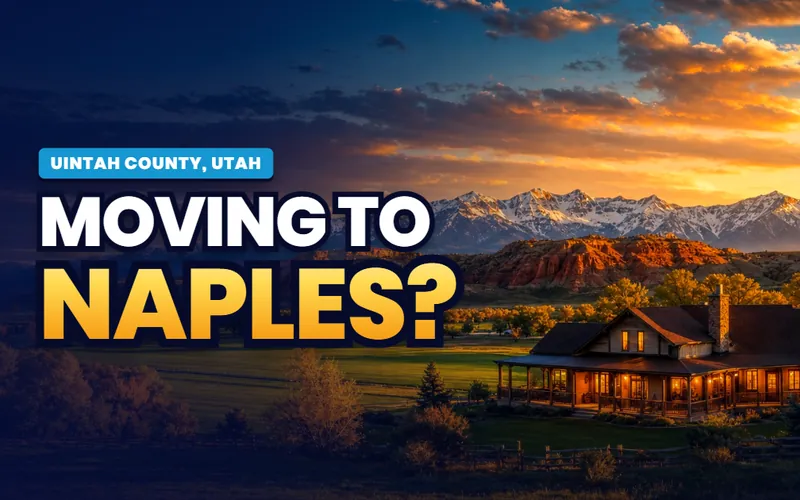
Vernal's next-door city
Naples
The east side of Ashley Valley, sharing Vernal's basin, its school district and its doorstep to the monument country.
The city guide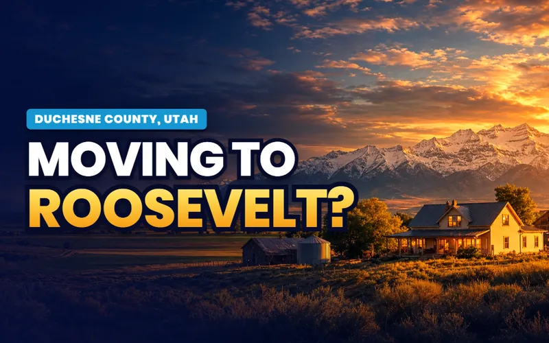
The Basin's other hub
Roosevelt
The Duchesne County side of the Uinta Basin, on US-40 between Vernal and the mountains, with Bottle Hollow Reservoir just east.
The city guideQuick answers
Eastern Utah, answered
On this site, six counties: Grand, San Juan, Carbon, Emery, Uintah and Duchesne. On the ground it is three distinct places. Canyon country in the south holds Moab, Monticello and Blanding, with Arches, Canyonlands and Bears Ears between them. Carbon and Emery counties in the middle hold Price, Helper and Huntington, the coal and railroad towns under the Book Cliffs and the Wasatch Plateau. The Uinta Basin in the north holds Vernal, Naples and Roosevelt, along US-40 under the south slope of the Uinta Mountains.
Moab is about 230 miles from Salt Lake City, roughly four hours by road. Price is the close end, about 120 miles through Spanish Fork Canyon on US-6. Vernal is about 170 miles east on US-40 over Daniels Summit, and Monticello and Blanding sit another hour or more south of Moab on US-191. Nothing in the region is a practical commute to the Wasatch Front; each of the three belts runs on its own economy.
Day to day, life here is shaped more by which economy a town runs on than by which county it sits in. Moab lives on tourism and the trades and service work that support it, with housing priced by the demand that arrives every spring. The Uinta Basin around Vernal and Roosevelt runs on oil and gas, so rentals, wages and resale timelines move with the energy cycle. Carbon and Emery counties are past their coal peak and leaning on Utah State University Eastern, a regional hospital and the arts revival in Helper. Groceries, medical care and an airport can all be an hour or more away, and that trade of distance for space and quiet is the honest thing to weigh before a move.
Arches is not requiring an advance timed-entry reservation in 2026, so you can drive in during operating hours, though a valid entrance pass is still required and the park has changed this policy from year to year, so check the Arches page before a trip. Reservations still apply to the Fiery Furnace and the Devils Garden campground. Canyonlands does not use timed entry at all. Dead Horse Point, the state park on the road to the Island in the Sky, charges its own gate fee that a national park pass does not cover.
Bears Ears National Monument sits in San Juan County, in the high country west of Monticello and Blanding, its two closest towns. The boundaries have been redrawn several times: designated in 2016, cut in 2017, restored to about 1.36 million acres in 2021, and cut again by a proclamation dated 13 July 2026 to about 121,000 acres in two units. The Bureau of Land Management and the U.S. Forest Service manage it together. Because the map has changed this often, check the BLM's Bears Ears pages for the current boundaries and rules before you plan around it.
It turns on elevation more than latitude. Moab sits near 4,025 feet and runs hot in summer, with July highs averaging close to 100 degrees, then mild through the spring and autumn that draw the crowds and fairly gentle in winter. Climb a couple of thousand feet to Monticello at about 7,000 feet and the summers cool off and the winters bring real snow. The Uinta Basin around Vernal is high desert that swings hard between hot summers and cold, sometimes hazy winters. Across the region the air is dry and the sun is strong most of the year.
Scott Buehler is based in Southern Utah, so for on-the-ground work in Eastern Utah he connects buyers and sellers with a trusted local partner agent in the right county and stays on the file for the research and the financing side. If you work with a referred agent, that agent's brokerage pays a referral fee to Real Broker, LLC out of the agent's compensation rather than as an added cost to you, and using a referred agent is never required.

A long way from my desk. Not a long way from good help
My base is Southern Utah, so for the on-the-ground work in Eastern Utah I connect buyers and sellers with a trusted local partner agent in the right county and stay on the file for the homework and the financing side. Tell me what you are weighing and I will get you the honest version.
Referral disclosure. Outside Southern Utah, I connect home sellers and buyers with partner agents I trust in their area. If you choose to work with an agent I refer, that agent's brokerage pays my brokerage (Real Broker, LLC) a referral fee. The fee comes out of the agent's compensation; it is not an added cost to you. You are always free to choose any agent you wish, and using a referred agent is never required.