
Town Vernal, Uintah County
Home of the Uintah County offices, on the Uinta Basin oilfield and at the door of the bone beds
Vernal, Utah, where the oilfield and the bone beds share a town
Vernal is a city of about 10,700 people on the floor of Ashley Valley in the far northeast corner of Utah, three hours from Salt Lake City on US-40 with no interstate anywhere on the route. It holds the Uintah County offices and is the commercial hub of the Uinta Basin, an oil and gas town first and a courthouse town second. Twenty miles east sits the quarry wall of bones at Dinosaur National Monument; forty miles north, Flaming Gorge. Both of those things show up in a purchase, and so does the price of oil. Here is the honest version, and a door into every Vernal page we have written.
 By Scott Buehler, Moving Utah
Updated October 2026
By Scott Buehler, Moving Utah
Updated October 2026
The short answer
Vernal is a city of about 10,700 people on the floor of Ashley Valley at roughly 5,358 feet, home of the Uintah County offices and the commercial hub of the Uinta Basin in the far northeast corner of Utah. Two things sit side by side here and both matter to a move: an oil and gas economy that carries roughly half the county's payroll and moves with the price of oil, and a stretch of country on a different clock, with the quarry wall of dinosaur bones at Dinosaur National Monument twenty miles east and the reservoir at Flaming Gorge forty miles north. Getting here is the other honest fact: three hours from Salt Lake City on US-40, with no interstate anywhere on the route.
What follows is the shape of the place and the two economies that run it, then a way into every Vernal page we have written: the ranked list of what is worth doing, the Utah side of the national monument, the highway to Flaming Gorge, the trackway at Red Fleet, the museum on Main Street, and the mover's read on what the oil cycle asks of a purchase.
Where it is
A valley town with a monument for a back yard
Vernal spreads across the floor of Ashley Valley at about 5,358 feet, with the Uinta Mountains rising to the north and the rest of the basin running south and west from the city limits. Ranchers and farmers had filled the valley by the mid 1870s, the county offices landed here in 1893, and the town incorporated as a city in 1897. The name means spring, or spring like greenery, which is what the valley looks like once the irrigation is running and the rest of the basin is not.
The valley is the reason the town exists and the basin is the reason it matters. Ashley Creek waters the ground, and the Uinta Basin around it holds one of the country's notable oilfields. Vernal is the commercial, retail and service center for the whole of it, which is why a town of about 10,700 carries a 39 bed hospital, a university campus, a technical college, a county courthouse and a regional airport with scheduled jets.
The other half of the address is what surrounds it. Twenty miles east is a quarry wall holding more than 1,500 dinosaur bones still in the rock. Forty miles north, up a highway that climbs to nearly 8,400 feet, is Flaming Gorge. Ten miles north is a reservoir with a dinosaur trackway on its far shore, which is also where the town's drinking water comes from. Very little of that is coincidence and none of it is marketing.
Vernal at a glance
~10,700
people, Census 2025 estimate
5,358 ft
the Ashley Valley floor, give or take
1,500+
bones in one quarry wall, 20 miles east
3 hr
to Salt Lake City, on no interstate at all
The shape of the place
Four roads out, and one of them climbs three thousand feet
Everything about a Vernal address comes back to the two federal highways that cross downtown and what sits at the end of each arm of them. Two arms are errands. The other two are the reason people come.
| Leaving town | Reaches | Distance | The road itself |
|---|---|---|---|
| US-40 west | Naples, Maeser, Roosevelt, Duchesne, then the Wasatch Front | Half an hour to Roosevelt, about three hours to Salt Lake | Paved and plowed, and not an interstate at any point |
| US-40 east | Jensen, the monument turnoff, then Dinosaur, Colorado | About 13 miles to Jensen, about 35 to the state line | Paved; the road to the quarry leaves it at Jensen |
| US-191 north | The Ashley National Forest, Dutch John and Flaming Gorge | About 40 miles to the dam, roughly an hour | Paved, steep, and a genuine winter road above 7,000 feet |
| US-40 west then US-191 south | Duchesne, then Indian Canyon down to Helper and Price | About 120 miles to Price, better than two hours | Paved, over a summit at 9,100 feet that closes to trailers in storms |
Distances are rounded. The north and south arms are the ones that change with the season rather than the traffic, and the Ashley National Forest offices in Vernal are the place to ask what the pavement is actually doing above 7,000 feet on any given week.
There is no rail and no city transit, and the air service runs on a federal contract with a date on it. Vernal Regional Airport carries scheduled jets to Denver and Phoenix on 30 seat regional aircraft, flown under the federal Essential Air Service program. The agreement covering that service was written for a 32 month term running from 1 February 2024 through 30 September 2026, and the Department of Transportation issued an order in January 2026 asking carriers to propose what comes next. As of September 2026 the flights are operating. If air service matters to your move, confirm the current carrier and schedule directly rather than working from any published route map, and price the three hour drive to Salt Lake City as the fallback.
The second economy
The town sells dinosaurs, and it is not making them up
Vernal has branded the whole corner of the state Dinosaurland, and the unusual thing about that is how little of it is invention. In 1909 a paleontologist working the Morrison Formation east of here found the tail of an Apatosaurus weathering out of a ridge, and the quarry that followed produced skeletons now standing in museums on three continents. The National Park Service eventually stopped excavating, left about 1,500 bones in the cliff face, and built a building over the top of them.
That building is what a visitor comes for, and it is twenty miles east of the town grid. In town the same story shows up as the Utah Field House of Natural History, a state park museum on Main Street with a garden of life size animals behind it, and as a forty foot pink dinosaur called Dinah, put up in 1958 to hold a motel sign and now owned by the city. The Field House page takes all of that, including the free county museum four blocks west of it.
The rock art is the older layer and it needs saying plainly rather than as a flourish. Fremont people carved and painted the cliffs on Cub Creek, at Dry Fork northwest of town and at Deluge Shelter in Jones Hole, somewhere between about a thousand and two thousand years ago. The Ute Indian Tribe of the Uintah and Ouray Reservation governs the country immediately west of Ashley Valley today, from tribal headquarters at Fort Duchesne, and the connection between those panels and living peoples is a present tense one. Look, photograph from a distance, touch nothing.
Put the two economies side by side and the town starts to make sense. Roughly half the local payroll rides on oil and gas, which is a fact about a commodity price rather than about anybody who lives here. The other half is the county offices, the hospital, the schools, the campuses, the retail that serves the whole basin, and a tourism season that peaks once the monument's summer shuttle service is running for the year.
Half the payroll rides on this year's oil price. The rest rides on what got buried here in the Jurassic.
The thing nobody puts in a listing
A courthouse town on a commodity price
The single most useful sentence anybody can give a buyer looking at Vernal is that this is an energy county and the energy cycle is not background. Uintah County's concentration of energy employment runs more than five times the national average. When the oilfield is busy, rentals tighten, subdivision activity picks up on the edges of the city limits and out toward Maeser and Naples, and the restaurants are full at seven in the evening. When it is not, all four of those reverse.
None of that is hidden and none of it is a reason to walk away. It is a reason to read a Vernal purchase with a different question at the front of it. Not what is this house worth today, but what does the household income behind this mortgage do when the field slows down. That question has an answer for a lot of people and no answer for some, and knowing which you are is worth more than any comparison of price per square foot against the Wasatch Front.
There is a second, quieter version of the same cycle sitting in the public buildings. Federal mineral lease royalties come back to counties that carry the impact of mineral development, and in Uintah County that money has helped build the kind of civic plant a town of about 10,700 would not otherwise have. That is a genuine amenity and it is also a line on the same ledger as the drilling permits. The movers page works through what all of it means for a purchase.
If you only have one day
One version of a good day out of Vernal
First thing
Be at the quarry when it opens
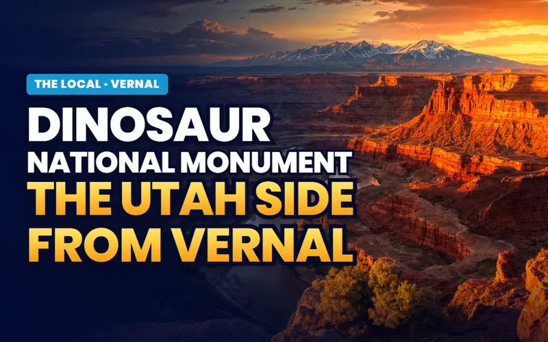
Twenty miles east, then up the hill from Jensen, to a cliff face with roughly 1,500 bones left in it and a building put up around the whole thing.
The monument page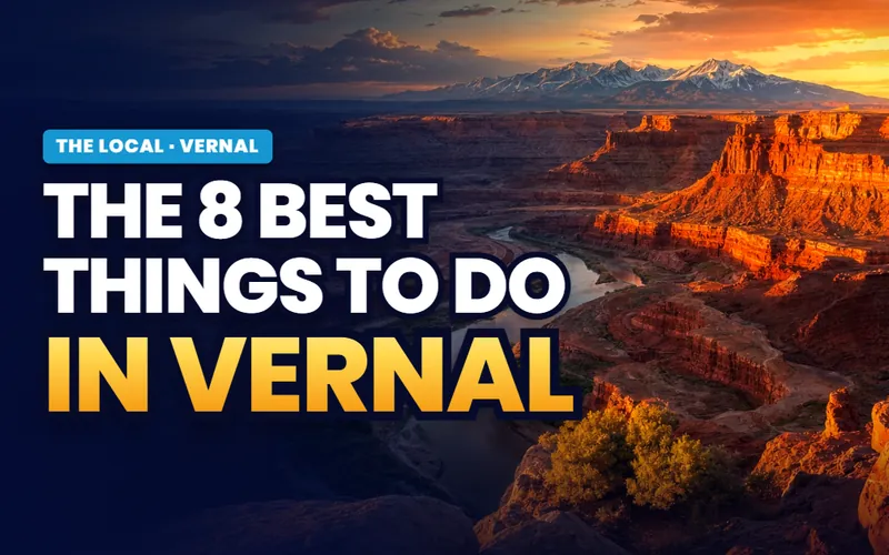
Mid morning
Read the cliffs at McConkie Ranch
Northwest into Dry Fork Canyon, where the type site for Classic Vernal Style Fremont rock art sits on private ranch land kept open on a donation.
The ranked list
Midday
Eat on Main, then walk the garden
A garden of life size animals behind a state park museum in the middle of town, and a forty foot pink dinosaur that has held a sign on Main Street since 1958.
The Field House page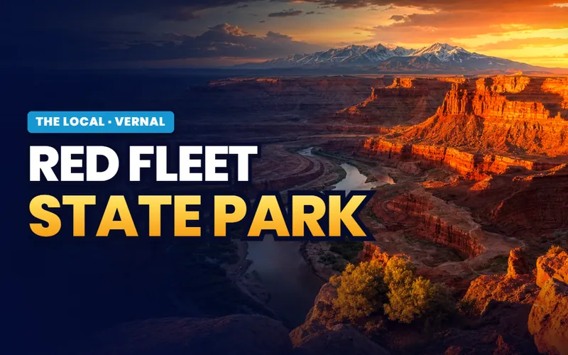
Late afternoon
Walk the trackway before the light goes
Ten miles north, a mile and a half on foot, and three toed tracks pressed into sandstone more than 200 million years ago. Low sun is what makes them readable.
The Red Fleet pageFlaming Gorge does not fit in that day, and trying to make it fit spoils both. The dam is about forty miles north and the drive is the attraction rather than the connection, climbing from the valley floor to nearly 8,400 feet through interpretive signs that name every rock layer the highway cuts. Give it its own day, start early, and put fuel in the tank in Vernal because there is very little of it between here and Dutch John.
The Vernal companion
Seven pages, and three of them are a day out on their own
Everything The Local has written about Vernal: the ranked list of what is genuinely here, the Utah side of the national monument and how access actually works, the highway north to Flaming Gorge and the reservoir at the end of it, the trackway and the reservoir the town drinks, the museum on Main Street, and what an energy county asks of somebody buying a house in it.


Scott Buehler
Moving Utah About Scott
Quick answers
Vernal, answered
In the far northeast corner of the state, on the floor of Ashley Valley at about 5,358 feet, where US-40 and US-191 cross. It holds the Uintah County offices and is the commercial hub of the Uinta Basin. Naples is five minutes southeast and is its own incorporated city rather than a Vernal neighborhood, Maeser adjoins the town on the northwest, Jensen sits about 13 miles east toward the Green River, and Roosevelt is about half an hour west on US-40.
Roughly 170 to 175 miles, about three hours west on US-40, and no section of that route is an interstate. There is no passenger rail and no bus service into the Uinta Basin. Vernal Regional Airport carries scheduled flights to Denver and Phoenix under the federal Essential Air Service program, on an agreement written to run through 30 September 2026, so confirm the current carrier and schedule before you plan travel around it.
The Quarry Visitor Center is about 20 miles east of downtown Vernal and takes roughly 25 minutes. The route is US-40 east about 13 miles to Jensen, then north on UT-149 about 7 miles. That is the Utah side of the monument, which is where the fossils are. The Colorado side, reached from the town of Dinosaur on US-40 across the state line, is river canyon country and has no quarry.
The dam near Dutch John is about 40 miles north of Vernal on US-191 and takes about an hour, because the highway climbs from the valley floor to close to 8,400 feet over the eastern end of the Uinta Mountains. That stretch is signed as the Flaming Gorge Uintas National Scenic Byway and runs about 80 miles in total from Vernal to Manila by way of UT-44. Treat it as its own day rather than an add on.
Because the fossils are real and the town leaned into them. A quarry east of here in the Morrison Formation produced skeletons now standing in museums around the world, and the National Park Service stopped excavating and left roughly 1,500 bones in the cliff face under a building. In town, the Utah Field House of Natural History State Park Museum on Main Street carries a garden of life size animals, and a forty foot pink dinosaur called Dinah has held a sign on Main Street since 1958.
Cold high desert. At the Vernal weather station, July is the warmest month, with highs near 89 degrees, and January is the coldest, with lows near 10. Rain and melted snow add up to only about 9 inches a year, with about 20 inches of snowfall. The unusual part is winter air quality: this is one of very few places in the country where ozone spikes in winter rather than summer.
Yes. Ashley Regional Medical Center is a 39 bed acute care hospital in town and the main hospital for the eastern Uinta Basin, with a 24 hour emergency department, a Level IV trauma designation, stroke receiving designation, obstetrics with a Level II neonatal unit, general surgery, orthopedics, cardiac rehabilitation and imaging that runs to MRI, CT and 3D mammography. Higher acuity and most sub specialty care routes to the Wasatch Front, about three hours away.
Yes, and the crowds are gone. The Quarry Visitor Center and the exhibit hall stay open year round except Thanksgiving, Christmas and New Year's Day, and in winter rangers lead car caravans up to the wall of bones instead of running the summer shuttle. The Utah Field House is open daily all year. The trade offs are real: the US-191 climb toward Flaming Gorge is a genuine winter road, and the basin's wintertime ozone happens on exactly the cold, sunny, snow covered days that look best.
The town itself is not. The boundary runs west of Ashley Valley, so a house inside the Vernal city limits sits outside it. Further west the picture is different: the reservation is the dominant land pattern across much of the Uinta Basin, and the Ute Indian Tribe of the Uintah and Ouray Reservation governs there from Fort Duchesne with its own laws and its own permitting. Buyers looking at rural ground away from the valley should treat land status and jurisdiction as a title question and get it answered in writing.
Thinking about Vernal? Start with the cycle, then the water
An energy town with the county offices is a genuinely different purchase from a Wasatch Front suburb, and the two questions that decide it are what the household income does when the field slows and what the parcel's water and mineral position actually is. Tell me what you are weighing and I will put you with a Uintah County partner agent who works this market, and stay on the file for the homework and the financing side.
Or call Scott: (435) 357-4345or send Scott a message
Keep going
Continue your Vernal research
Eight more doors into Vernal, chosen for what this page covers.
Questions about Vernal?
Call Scott, send a message, or find out what your Vernal home is worth. No pressure, no obligation.
Referral Disclosure: For moves outside Southern Utah, I can connect you with trusted local agents. If you choose to work with one, their brokerage pays my brokerage (Real Broker, LLC) a referral fee from their commission. This costs you nothing extra, and you are never obligated to use my referral.