
The eighth region
Three valleys and a desert
Tooele County, from The Local
Stand on the east edge and you are thirty-five minutes from the state capital. Stand on the west edge and you look out over some of the emptiest ground in the lower 48. In between, Utah's second largest county by land reads as three habitable valleys stacked against the mountains and then a desert bigger than some states. Say the name too-ILL-uh, and read the county by its valleys: the Tooele Valley towns under the Oquirrhs, Rush Valley to the south, Skull Valley to the west, and the salt beyond. The Local arrives here region first: the ten subjects that belong to no single town get their own pages, and the four town companions follow.
Start here
A short drive from the city, and a long way from anywhere
Tooele County is the second largest county in Utah by land, about 7,000 square miles, and most of it is West Desert and federal ground. The people live on the near edge. From the Tooele Valley towns it is roughly thirty-five minutes over the Oquirrh Mountains to Salt Lake City, and reporting has put the share of working residents who make that commute at about three quarters, one of the longest average drives in the state. That is the honest trade this county offers: more room and a quieter valley in exchange for a mountain commute, and it is the reason a field guide here reads as a relocation guide and not a travel brochure.
The county held 72,698 people in the 2020 census, small for its size, and it has been named the fastest growing county in the state by rate more than once, with Census estimates putting it near 82,000 by 2023. Tooele, home of the county offices, holds about 42,300 (2025 estimate) of them under the Oquirrhs; Grantsville anchors the west end of the valley at about 12,617; Stansbury Park, an unincorporated community of 9,851, sits between them; and Erda and Lake Point, both newly incorporated as cities in 2022, fill the ground toward the lake.
And the name. It is pronounced too-ILL-uh, not the way it looks, and where it comes from is genuinely unsettled. Some trace it to a Goshute leader or place name, some to tule, the bulrush that grows in the valley marshes; it was first written Tuilla when the county was created in 1850 and settled to Tooele soon after. The theories are worth knowing and none of them is proven, so this guide gives you the pronunciation and leaves the origin open.
Tooele County at a glance
4
towns with full guides here
10
shared subjects live on The Local
~7,000 sq mi
second largest Utah county by land
72,698
people in the county in 2020
Live now
Ten subjects that belong to no single town
The salt flats, Wendover and its wartime airfield, the Pony Express desert and the wild horses on it, the mining ghost towns, Skull Valley, and the two Stansbury communities out on the lake. Each belongs to the whole county at once, so each gets one region page rather than a dozen retellings, written to help someone deciding on the county from out of state.

The marquee
Bonneville Salt Flats
The hard white plain where people have chased land-speed records for a century: free to visit, drivable only when the salt is bone dry, and the honest guide to the Tree of Utah you cannot stop at.
Read the page
The border town
Wendover
The loneliest town in Utah on the Nevada line: Danger Cave, Utah's first state monument, the geothermal Blue Lake dive spring, the Silver Island byway, and the jumping-off point for the salt.
Read the page
The WWII base
Historic Wendover Airfield
The remote WWII training base where the crew that ended the war learned its job, now a museum of restored flight-line buildings, told at the level of the base, the crews, and the machines.
Read the page
The 1860 route
The Pony Express Trail
The original mail route you can still drive on the dirt: Simpson Springs station and its free campground, the geode-beds detour, and some of the darkest skies within two hours of the capital.
Read the page
The wild herd
The Onaqui Wild Horses
One of the most photographed wild-horse herds in the country ranges along the Pony Express Road: where the viewing actually happens, the distance rules that keep it that way, and the honest odds.
Read the page
The mining camps
Ghost Towns and Mining Camps
Silver and gold built a ring of camps in the Oquirrh canyons and the far desert. The useful version tells you which you can legally walk through today and which sit behind a locked company gate.
Read the page
The visitable one
Ophir
The county's one truly walkable near-ghost town, done as a visit guide: what still stands, the roughly three dozen people who live here, and the etiquette that comes first because they do.
Read the page
The Hawaiian town
Skull Valley
A desert valley holding the county's most surprising story: Iosepa, the Hawaiian pioneer town whose descendants still gather every Memorial Day, the old Lincoln Highway, and two spring-fed bird marshes.
Read the page
The planned town
Stansbury Park
A 1970s dream of a lakeside city, planned by the same company that built Bloomington in St. George, that grew into a real community around a man-made lake, an 1854 gristmill, and a public observatory.
Read the page
The west shore
Stansbury Island
The quiet west shore of the Great Salt Lake, where an island becomes a peninsula when the water drops, a bench trail follows an ancient shoreline, and the state once pumped a flooding lake into the desert.
Read the pageGetting around
One interstate across the desert, two roads out to it
Interstate 80 is the county's spine. It runs west from the Salt Lake side across the salt desert to Wendover and the Nevada line, and it is how almost everything reaches the far country: the salt flats, the airfield, the byways all hang off its exits. But the towns do not sit on it. The Tooele Valley communities sit south of I-80 under the Oquirrhs, and getting between them and the interstate, or over the mountains to Salt Lake, is the daily reality that shapes life here.
Two roads carry that traffic. SR-36 runs north from Tooele through Stansbury Park and Lake Point to meet I-80 at the mouth of the valley, the old and busy way. Since October 2021 a second route, the Midvalley Highway (SR-179), has given the south end of the valley its own path to the interstate, easing the single-road squeeze that used to funnel every commuter through Lake Point. Over the top, most Salt Lake commuters cross the Oquirrhs on I-80 through the pass, about thirty-five minutes to the west-side valleys in fair weather and longer when the canyons blow snow.
What the county does not have is a train. There is no passenger rail out here, and bus service is limited, so nearly every trip out of the valley is a drive. The nearest major airport is Salt Lake City, out past the point of the mountain. For a bigger hospital, big-box variety, or a flight, the valley looks east to the Wasatch Front, and for everything past the last town, it looks west into a lot of empty road.
Three valleys and a desert
Read the county by its valleys
Learn these four pieces and the whole county falls into place. The Tooele Valley is the settled heart: the main strip of towns, Tooele, Grantsville, Erda, Lake Point and Stansbury Park, laid between the Oquirrh Mountains on the east and the Stansbury Mountains on the west, with Deseret Peak topping the Stansburys at 11,031 feet. Rush Valley opens to the south, a run of ranch country and old mining ground around Stockton, Rush Valley town and Vernon, and the starting point for the Pony Express Road and the wild horses. Skull Valley runs west of the Stansburys, a forty-mile trench holding Iosepa and two spring-fed bird marshes before it opens to the Great Salt Lake. And beyond all of it stretches the West Desert, the salt flats and Wendover and a lot of federal ground, the emptiest quarter of the state. The ten subject pages carry each of these in full.
Live now
Tooele, Tooele up close
Tooele has about 42,300 residents (Census estimate, 2025), the valley's service hub under the Oquirrh Mountains. It is the town most people cannot pronounce on the first try, too-ILL-uh, and the one whose story you can still read on the ground: a pioneer town, then a copper smelter town that ran ore over the mountains on a twenty-thousand-foot tramway, then the 1942 Army depot that became the economic spine, and now a commuter valley thirty-five minutes west of Salt Lake. The companion carries all of it across twelve guides: the ranked things to do, the identity and history, the railroad museum, the two canyons at its back, the summer concert series, the county fairgrounds, where the town eats, everyday life, the relocation math, and the day trips at its doorstep.

The companion
Tooele, all of it
Tooele under the Oquirrhs, a former smelter town turned commuter valley, across twelve guides.
Open the companion
Ranked
Things to Do in Tooele
The honest list, from the two canyons and Locomotive 11 to the summer concerts, each marked in town or a drive.
Read the guide
The signature place
Tooele Valley Railroad Museum
Free downtown, built around Locomotive No. 11, the last steam engine to pull freight in Utah.
Read the guide
The relocation math
Moving to Tooele
The drive times over the Oquirrhs, the two roads to Interstate 80, and where the paychecks actually are.
Read the guideLive now
Grantsville, the old west valley up close
Grantsville held about 12,617 residents at the 2020 census, the county's second largest city and its oldest west-valley town, laid out on the Tooele Valley floor under the Stansbury Mountains. It began as Twenty Wells, the last dependable water for some eighty miles on the Hastings Cutoff, and it still gathers where it always has: the Sociable every March since 1884, a farm on the National Register, and a dinner theatre in an 1866 chapel. The companion carries all of it across eight guides, from the ranked things to do and the Twenty Wells history to the canyon at its back and the relocation math.

The companion
Grantsville, all of it
The old pioneer town under the Stansburys, from Twenty Wells to the Sociable, across eight guides.
Open the companion
Ranked
Things to Do in Grantsville
The farm calendar, the museums, the dinner theatre and the canyon, each marked in town or a drive.
Read the guide
The signature history
Twenty Wells and the Donner Crossing
The springs that were the last water for eighty miles, and the 1846 crossing.
Read the guide
The relocation math
Moving to Grantsville
The routes to Interstate 80, the commute over the Oquirrhs, and where the jobs are.
Read the guideLive now
Erda, the valley's acreage floor
Erda has about 4,050 people (Census estimate, 2025) and became one of Utah's newest cities on January 3, 2022. It is the horse-and-acreage floor of the valley between Tooele and Stansbury Park, on both sides of State Route 36, with the Oquirrhs to the east and the Stansburys to the west. There is no grocery and no Main Street of its own, but the county-scale things that need room sit out here: a drive-in on the highway and a skydiving operation that has been jumping for over 40 years. The companion carries it honestly across four guides.
The companion
Erda, all of it
Utah's newest city on the acreage floor, honest about the gaps, across four guides.
Open the companion
Ranked
Things to Do in Erda
The drive-in, skydiving, and the county-scale stops a short drive off.
Read the guide
The signature place
The Erda Drive-In
A working drive-in still lighting up State Route 36 on summer weekend nights.
Read the guide
Everyday and moving
Living in Erda
The no-grocery truth, the commute, and what the open valley gives you.
Read the guideLive now
Lake Point, the county's front door
Lake Point held about 2,335 residents at the 2020 census and incorporated as a city in 2022. It is the county's front door, where State Route 36 meets Interstate 80 at the north end of the valley, and it carries the shortest commute in Tooele County. Under the commuter town lies a real surprise: Adobe Rock, named for an 1849 herder's shack, and the ground beneath a vanished 1870s lakeside resort that once had its own Great Salt Lake steamboat landing. The companion tells all of it across four guides.
The companion
Lake Point, all of it
The county's front door on Interstate 80, today's town and the lost resort, across four guides.
Open the companion
Ranked
Things to Do in Lake Point
Adobe Rock, the foothill views, the vanished resort, and the marina a drive east.
Read the guide
The signature history
Adobe Rock and the Lost Resort
An 1849 landmark and the ground under a three-story lakeside hotel from the 1870s.
Read the guide
Everyday and moving
Living in Lake Point
The shortest commute in the county, the wind at the lake gap, and the grocery drive.
Read the guideCity guides
Four towns, on the practical side
Every town in the valley carries a full practical guide: prices, neighborhoods, schools, utilities and the listings themselves. As each town's companion goes live on The Local, its band appears on this page above this list, with Tooele first in line and carrying the county's deepest set of guides.
Courthouse town
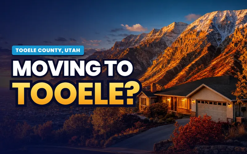
Tooele
Tooele at about 42,300, a former smelter town turned commuter city under the Oquirrhs, with the railroad museum, two canyons at its back, and the valley's deepest set of guides.
The city guide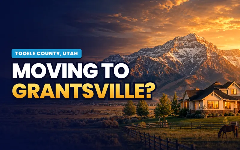
The west valley
Grantsville
The older west-valley town at about 16,500, doorstep to South Willow Canyon and Deseret Peak, home of the Grantsville Sociable held every March since 1884 and the city-run Donner-Reed Museum.
The city guide
The newest city
Erda
Horse-country back roads between Tooele and Stansbury Park, incorporated as a city in 2022, home to a surviving 1949 drive-in and a skydiving operation that has been jumping for over 40 years.
The city guide
The front door
Lake Point
The county's front door where SR-36 meets I-80, incorporated in 2022, with the shortest commute in the county, Adobe Rock, and the ground under a long-lost 1870s lakeside resort.
The city guideQuick answers
Tooele County, answered
The city guides at /cities/ answer whether to live somewhere: prices, neighborhoods, schools, commutes and the listings. The Local's pages answer what you actually do here and how the county works day to day: whether you can drive on the salt flats today, where the wild horses gather, which ghost towns you can legally walk through, and what the Salt Lake commute really costs in time. The practical guides for the four towns are already live, and The Local's editorial layer is arriving on top, region subjects first.
Because the things that define Tooele County belong to no single town. The Bonneville Salt Flats, Wendover on the Nevada line, the Pony Express desert and its wild horses, the mining ghost towns, Skull Valley and the two Stansbury communities all sit out in the county's shared country, and Stansbury Park, with 9,851 people, has no city hub at all. Each shared subject gets one region page here, written once and linked from every town's companion, instead of a dozen overlapping retellings.
Tooele is pronounced too-ILL-uh. It is not said the way it is spelled, which trips up nearly every first-time visitor. Where the name comes from is genuinely disputed: some trace it to a Goshute leader or place name, others to tule, the bulrush that grows in the valley marshes. It was first written Tuilla when the county was created in 1850 and settled to its current spelling soon after, and none of the origin theories has ever been proven.
Four carry full city guides: Tooele, home of the county offices, plus Grantsville, Erda and Lake Point. Beyond them, the region pages cover the places with no city hub of their own, including Stansbury Park, an unincorporated community of 9,851, and the smaller settlements of Wendover, Stockton, Rush Valley, Vernon and Ophir. All sit inside Tooele County, which held 72,698 people in the 2020 census across about 7,000 square miles.
Yes, and quickly by rate. The county held 72,698 people in the 2020 census, and Census estimates put it near 82,000 by 2023, among the faster-growing counties in the state and the country. It is still a small-population county for its enormous land area, and most of the growth is landing in the Tooele Valley towns, where Erda and Lake Point both incorporated as cities in 2022 and Stansbury Park nearly doubled between 2010 and 2020.
That depends on the trade you want to make. The county offers more space and a quieter valley than the Salt Lake side, with the railroad museum, two canyons above Tooele, the salt flats and the West Desert at the doorstep. The honest cost is the commute: about three quarters of working residents drive over the Oquirrh Mountains to Salt Lake County, one of the longest average commutes in the state, and a bigger hospital, big-box variety and a major airport all mean a drive east. The town and moving guides weigh those tradeoffs in detail.
Scott Buehler is based in Southern Utah, so for on-the-ground work in Tooele County he connects buyers and sellers with a trusted local partner agent and stays on the file for the research and the financing side. If you work with a referred agent, that agent's brokerage pays a referral fee to Real Broker, LLC out of the agent's compensation rather than as an added cost to you, and using a referred agent is never required.

A short commute from the city, a long way into the desert. The same honest help
My base is Southern Utah, so for the on-the-ground work in Tooele County I connect buyers and sellers with a trusted local partner agent and stay on the file for the homework and the financing side. Tell me what you are weighing, a bench lot under the Oquirrhs, a newer build in Stansbury Park, or acreage out toward the lake, and I will get you the honest version.
Referral disclosure. Outside Southern Utah, I connect home sellers and buyers with partner agents I trust in their area. If you choose to work with an agent I refer, that agent's brokerage pays my brokerage (Real Broker, LLC) a referral fee. The fee comes out of the agent's compensation; it is not an added cost to you. You are always free to choose any agent you wish, and using a referred agent is never required.