
The fifth metro region
One valley, two walls
Cache Valley, from The Local
A bowl of dairy ground and a university, walled by the Bear River Range on the east, with Logan Canyon the one door through to Bear Lake, and the Wellsville Mountains on the west. About 145,000 people live on the floor between them, nearly 30,000 of them students at Utah State, and the same shape that fills every window with mountains pools cold air on the floor each winter. The Local arrives here region first: the six subjects every town shares get their own pages, and the twelve town companions follow.
Start here
Two mountain walls and one valley floor between them
Cache Valley is a bowl. The Bear River Range walls it on the east, with Logan Canyon the one door through that wall to Bear Lake, and the Wellsville Mountains wall it on the west. Naomi Peak tops the east side at nearly 9,980 feet, Box Elder Peak the west at about 9,372, and between them the valley floor sits around 4,500 feet. That shape is the valley's gift and its bill at once: mountains in every window, and in winter a lid of cold air that settles onto the floor and holds the inversion for days.
Inside the bowl live about 145,000 people, up roughly 9 percent since the 2020 census, with the growth coming from both new births and people moving in. Logan, where the Cache County offices are, holds about 55,600 of them at the mouth of Logan Canyon, and Utah State University sits on the bench above its downtown with nearly 30,000 students, the largest employer in the county and the engine under most of what happens here. South of Logan the valley floor towns are filling with new construction; north of it the farm towns still run on dairy and US-91.
Like the metro regions before it, Cache Valley reads region first on The Local, because the things that define life here belong to no single town: the canyon and its drive to Bear Lake, the university, the two ski hills that sell the winter, the steep range on the west wall, and the dairies that flavor the whole valley. Each gets one page below, written once, and each town's own guide routes to them.
Cache Valley at a glance
12
towns with full guides here
6
shared subjects live on The Local
9,980 ft
Naomi Peak above a 4,500 ft floor
~145K
people in Cache County
Live now
Six subjects the whole valley shares
The canyon, the lake over the summit, the university, the ski hills, the west range and the dairies. Each belongs to every town at once, so each gets one region page rather than twelve retellings, written to help someone deciding on the valley from out of state.

The byway
Logan Canyon
About 43 miles of US-89 from the city up to Bear Lake: Tony Grove Lake, the Wind Caves, the ancient Jardine Juniper, and the dams strung along the Logan River.
Read the page
Over the summit
Bear Lake
The turquoise lake an hour east over Logan Canyon: the overlook, Rendezvous Beach and the raspberry shakes, told from the Cache Valley approach.
Read the page
The university
Utah State and Aggie country
The valley's largest employer and its cultural engine: Old Main and the A, the Spectrum, Aggie Ice Cream since 1922, and the move to the Pac-12.
Read the page
Winter above the haze
Beaver Mountain and Cherry Peak
Two family scaled ski hills and the Nordic tracks around them: the long running resort up Logan Canyon, the newer one near Richmond, and the way out of the inversion.
Read the page
The west wall
The Wellsville Mountains
The steep narrow range on the valley's west side: the ridge hikes from the Mendon side, the ridge's fall raptor flights, and the benches below.
Read the page
Dairy country
Cache Valley farm country
The dairies and creameries that flavor the valley: Cache Valley Cheese, Gossner, Aggie Ice Cream, the roadside stands, and the living history farm at Wellsville.
Read the pageGetting around
A fare free bus, two canyon passes, and no train at all
Cache Valley runs a fare free bus. The local system has charged nothing to ride since 1992, and it still charges nothing today; in August 2024 it dropped the old Cache Valley Transit District name and became Connect Public Transit, a rebrand with no change to the zero fare policy. Its service area runs the length of the valley, from Lewiston in the north to Hyrum in the south, paid for by a small local sales tax rather than the farebox. What the valley does not have is a train. There is no passenger rail and no interstate anywhere in Cache County, so every trip out of the valley starts on a US highway.
Two roads carry that traffic. US-89 and US-91 run together southwest out of the valley and climb Sardine Canyon to a summit near 5,800 feet before dropping to Brigham City and Interstate 15, about 25 to 30 miles from Logan and the way almost everyone reaches the Wasatch Front. US-89 then splits off and runs east up Logan Canyon toward Bear Lake, about 43 miles and, in fair weather, close to an hour. Salt Lake City sits about 83 miles south, roughly an hour and a half when the canyons are dry, and longer when they are not.
Both of those canyons ice in winter, and that is the honest asterisk on every drive time here: Sardine and Logan are mountain passes, and one storm can turn the hour and a half to Salt Lake into something longer. Inside the valley the grid is flat and easy, the university sets the rush hours, and the small airport in Logan carries limited scheduled service that has changed before and will change again. For a bigger hospital, big box shopping, or a major airport, the valley looks south to the Wasatch Front.
The valley's year
Four clocks run the valley's year
Learn these four and the calendar makes sense. The snow clock: Beaver Mountain up Logan Canyon and Cherry Peak near Richmond open when the storms arrive, the Nordic tracks fill behind them, and locals climb to both partly to get above the winter inversion on the floor. The canyon clock: Logan Canyon stays open all year, but Tony Grove Lake and the high trailheads are snowed in until early summer, and the drive over the summit to Bear Lake is a fair weather hour. The water clock: Bear Lake fills with raspberry season and summer traffic, Hyrum Reservoir draws the south end of the valley, and the ramps run busy on July and August weekends. And the events clock: the Gardeners Market runs Saturdays from May into October, Summerfest paints downtown Logan in June, the Cache County Fair and Rodeo lands in August, and Richmond has shown dairy cattle at Black and White Days each May since 1912. The six subject pages carry each clock in detail.
Live now
Logan, the valley's deepest set of guides
Logan held 52,778 residents at the 2020 census, the largest city in Cache Valley and home of the Cache County offices, built on the old Lake Bonneville terraces where Logan Canyon opens onto the valley floor. Utah State University has stood on the bench above downtown since 1888 and still sets the rhythm of the whole city, from the August lease turnover to game day at Maverik Stadium. The companion carries all of it across ten guides: the ranked things to do, the lived texture and the neighborhoods, historic downtown and the temple, the parks and the river, Zootah, where the town eats, the annual calendar, and the campus itself.
The companion
Logan, all of it
Where the county offices sit, at the canyon mouth, with its university on the hill, across ten guides.
Open the companion
Ranked
Top 15 Things to Do
From Aggie ice cream to First Dam, each with a season, a cost and a drive time.
Read the guide
The lived texture
Living in Logan
The university calendar, the winter inversion, the hospital and the cold valley floor.
Read the guide
On the hill
Utah State and Logan
Old Main Hill, the free art museum, game day and the fall move-in weekends.
Read the guideLive now
North Logan, the bench town with the Pumpkin Walk
North Logan held 10,986 residents at the 2020 census, one of Cache Valley's larger cities after Logan, spread across the east bench directly north of Logan along US-91. Green Canyon opens into the Bear River Range at the top of the bench, and every October the free Pumpkin Walk fills Elk Ridge Park, a valley tradition since 1983. The companion carries the town across six guides: the things to do, the Pumpkin Walk, the canyon, the parks and rec, the lived texture, and what to know before you move.

The companion
North Logan, all of it
A bench town north of Logan, Green Canyon above it, across six guides.
Open the companion
Things to do
Things to Do in North Logan
The best of the bench and the canyon, from Green Canyon to the Pumpkin Walk.
Read the guide
Every October
The Pumpkin Walk
Elk Ridge Park's free walk of carved pumpkin scenes, a valley tradition since 1983.
Read the guide
Up the bench
Green Canyon
The canyon mouth into the Bear River Range for hiking, biking and winter trails.
Read the guideLive now
Smithfield, a pioneer grid with its own canyon
Smithfield has about 15,150 residents (Census 2025; 13,571 at the 2020 count), the second-largest city in Cache County, laid out on a pioneer grid along Summit Creek north of Logan. Its own canyon sits at the east edge of town, and Health Days has filled Main Street each May since 1925. The companion carries the town across six guides: the things to do, Health Days, Smithfield Canyon, the parks and rec, daily life on the valley floor, and the buyer's checklist before a move.
The companion
Smithfield, all of it
A pioneer grid on Summit Creek, its own canyon behind it, across six guides.
Open the companion
Things to do
Things to Do in Smithfield
The best of the town and canyon, from Health Days and Mack Park to Forrester Acres.
Read the guide
Every May
Smithfield Health Days
The Main Street festival held each May since 1925, with a Fun Run, parade, horse pulls and fireworks.
Read the guide
East of town
Smithfield Canyon
The town's own forest drainage, with a small campground and a Mount Naomi trail.
Read the guideLive now
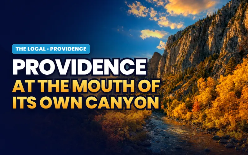
Providence, the Old Rock Church and the canyon behind it
Providence counted about 8,218 residents at the 2020 census, smaller than Logan next door but growing steadily as new subdivisions fill the ground between Main Street and the base of the canyon. The 1869 Old Rock Church still stands off Main Street, and Providence Canyon runs a trail to the old quarry behind town. The companion carries the town across six guides: the things to do, the Old Rock Church, the canyon, the parks and rec, the lived texture, and what to weigh before you move.
The companion
Providence, all of it
Between Main Street and the canyon, the 1869 Old Rock Church still standing, six guides.
Open the companion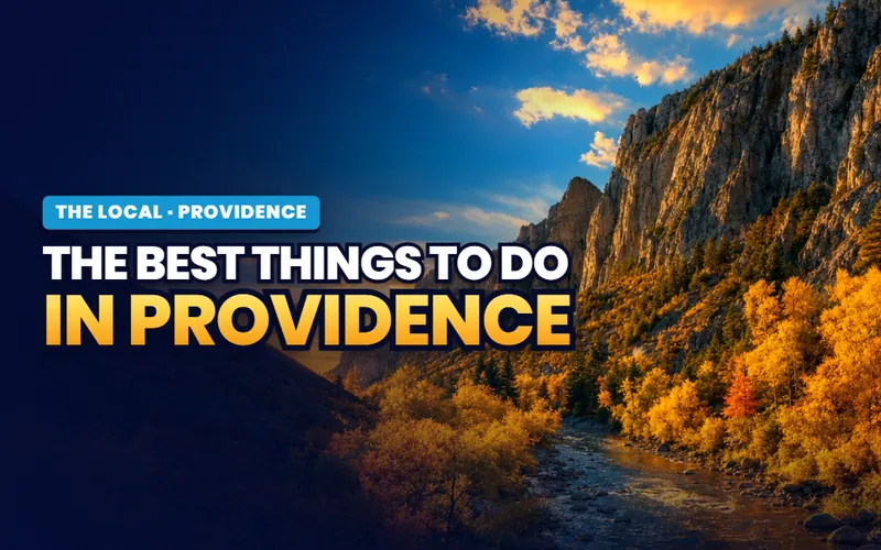
Things to do
Things to Do in Providence
The Old Rock Church, the canyon trail, Zollinger Park and the splash pad, seven picks.
Read the guide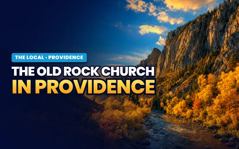
Off Main Street
The Old Rock Church
The 1869 limestone meetinghouse, now a bed and breakfast on the National Register.
Read the guide
Behind town
Providence Canyon
The town's own drainage: a trail to the old quarry, frozen falls and a wild cave.
Read the guideLive now
Richmond, a farm town at the north end of the valley
Richmond counted about 2,900 residents at the 2020 census and has stayed a small farm town rather than a bench suburb, at the north end of the valley. Black and White Days has shown dairy cattle here each May since 1912, called the nation's longest running show of its kind, and High Creek Canyon climbs east into the Bear River Range. The companion carries the town across six guides: the things to do, Black and White Days, High Creek Canyon, the parks and rec, the lived texture, and what to sort out before a move.

The companion
Richmond, all of it
A farm town at the north end of the valley, its May dairy show, six guides.
Open the companion
Things to do
Things to Do in Richmond
The best of a farm town, from Casper's Ice Cream to the High Creek Canyon trail.
Read the guide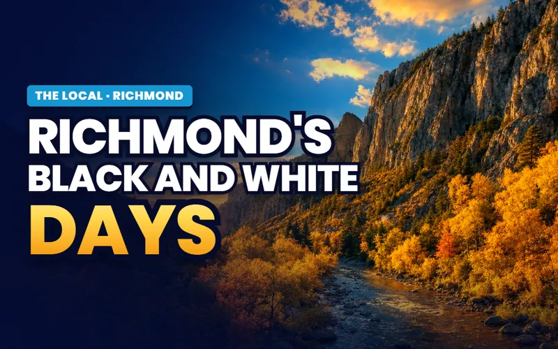
Every May
Black and White Days
The dairy cattle show held here since 1912, called the nation's longest running.
Read the guide
Into the range
High Creek Canyon
The east side trail up the creek to High Creek Lake, near 8,800 feet.
Read the guideLive now
Hyde Park, a small east side town with a new shoreline trail
Hyde Park counted 5,234 residents at the 2020 census, one of the smaller cities on the east side of the valley, its blocks filling in between the old town center and the highway. Hometown Days lands on Church Square every July, and a 2.85 mile shoreline trail segment opened above town in 2024. The companion carries the town across six guides: the things to do, Hometown Days, the canyon and the trail, the parks and rec, the day to day, and what to know before you move.
The companion
Hyde Park, all of it
A small east side town, Hometown Days in July, a new shoreline trail, six guides.
Open the companion
Things to do
Things to Do in Hyde Park
The best of a small town, from the canyon trail to Mt. Naomi Farms and the July fair.
Read the guide
Every July
Hometown Days
The summer celebration on Church Square, with the Velvet Highway Parade.
Read the guide
On the east edge
Hyde Park Canyon and the BST
The 2.85 mile shoreline trail segment that opened in 2024, a gentle gravel walk.
Read the guideLive now
River Heights, under a square mile, with Apple Days every August
River Heights is home to roughly 2,100 people on a bench above the Logan River, one of the smaller incorporated cities in the valley and less than a square mile of streets tucked against the south side of Logan. A family orchard sits at the center of town, and the Apple Days parade runs every August. The companion carries the town across four guides: the things to do, Apple Days, the parks and rec, and the lived texture of a small bench town.
The companion
River Heights, all of it
Under a square mile on a bench above the Logan River, Apple Days each August.
Open the companion
Things to do
Things to Do in River Heights
The best of the town and bench, from the Zollinger orchard to the foothills.
Read the guide
Every August
Apple Days
The parade, breakfast and cider that a town under a square mile calls its own.
Read the guide
The lived texture
Living in River Heights
Bench life above the river bottoms, schools, city services and the run into Logan.
Read the guideLive now
Hyrum, a Main Street town at the mouth of Blacksmith Fork Canyon
Hyrum counted about 9,400 residents at the 2020 census, a pioneer Main Street town at the south end of the valley where Blacksmith Fork Canyon opens into the mountains. Hyrum State Park wraps a reservoir on the edge of town, Hardware Ranch runs winter sleigh rides out to a wintering elk herd up the canyon, and the 1917 Elite Hall still dances on a sprung floor. The companion carries the town across seven guides: the things to do, the state park and reservoir, Blacksmith Fork Canyon, Hardware Ranch, Elite Hall, the lived texture, and what to sort out before a move.

The companion
Hyrum, all of it
A Main Street town at the mouth of Blacksmith Fork Canyon, its reservoir and elk refuge, seven guides.
Open the companion
Things to do
Things to Do in Hyrum
The best of the town, from the state park reservoir to Hardware Ranch and Elite Hall.
Read the guide
On the edge of town
Hyrum State Park and Reservoir
The 450 acre reservoir for fishing, boating and a swim beach, with winter ice fishing.
Read the guide
Every winter
Hardware Ranch
Horse drawn sleigh rides out to a wintering elk herd, fifteen miles up the canyon.
Read the guideLive now
Wellsville, Cache Valley's oldest town, under the steep range
Wellsville settled in 1856 as Maughan's Fort, the first town in Cache Valley, and counted about 4,060 residents at the 2020 census, laid out at the steep western foot of its namesake mountains. A Gothic tabernacle finished in 1908 still stands on Center Street, and Founders' Day fills Labor Day weekend with a parade and the old Sham Battle. The companion carries the town across seven guides: the things to do, the pioneer heritage, Founders' Day, hiking the range, the parks and rec, the lived texture, and what to know before a move.
The companion
Wellsville, all of it
Cache Valley's oldest town at the foot of the steep range, seven guides.
Open the companion
Things to do
Things to Do in Wellsville
The best of the oldest town, from the tabernacle to the reservoir loop and the range.
Read the guide
Since 1856
Wellsville Heritage
Maughan's Fort, the 1908 tabernacle, and the pioneer homes on the register.
Read the guide
Every Labor Day
Founders' Day and the Sham Battle
The founding anniversary, with a parade, a rodeo and the old militia reenactment.
Read the guideLive now
Nibley, a valley floor town with a wild firefly colony
Nibley counted 7,328 residents at the 2020 census, a fast growing town on the valley floor between Logan and Hyrum where farm fields keep becoming subdivisions. A rare wild firefly colony lives in a protected wetland at Firefly Park, and the city owned Morgan Farm has worked the same ground since 1903. The companion carries the town across six guides: the things to do, the fireflies, the Morgan Farm, the parks and wetlands, the lived texture, and what to sort out before a move.

The companion
Nibley, all of it
A valley floor town with a wild firefly colony and a 1903 farm, six guides.
Open the companion
Things to do
Things to Do in Nibley
The best of a small valley floor town, from the wetland spine to the fireflies.
Read the guide
Every June
Fireflies at Firefly Park
One of Utah's few wild firefly colonies, glowing in a protected wetland after dark.
Read the guide
Since 1903
The Historic Morgan Farm
The city owned farm at the center of town, with gardens and a December Live Nativity.
Read the guideLive now
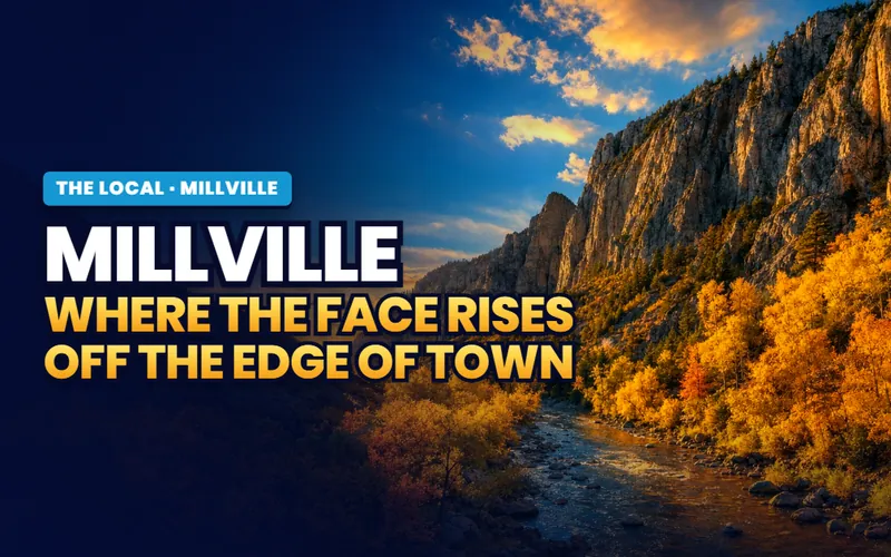
Millville, a bench town under the Face and the canyon
Millville counted about 2,200 residents at the 2020 census, a small residential town on the southeast bench of the valley under the Bear River Range. Millville Canyon climbs into the mountains behind town, and gliders work the Face above it on calm evenings. The companion carries the town across four guides: the things to do, the Face and the canyon, the city parks and rec, and the lived texture of a bench town.
The companion
Millville, all of it
A bench town under the Face and Millville Canyon, four guides.
Open the companion
Things to do
Things to Do in Millville
The best of the bench, from Millville Canyon to South Park and the winter range.
Read the guide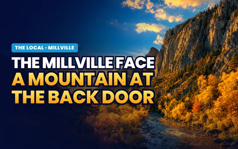
On the east bench
The Millville Face and Canyon
The hikeable wildlife bench and the canyon road into the Bear River Range.
Read the guide
In town
Millville City Parks and Recreation
South Park's splash pad and pickleball, North Park's courts and indoor pavilion.
Read the guideLive now
Lewiston, a farming town on the Idaho line
Lewiston counted 1,939 residents at the 2020 census, the northernmost Utah town in the valley, a working farming town on the Idaho line between the Bear and Cub rivers. Its Fourth of July fills the fairgrounds with a multi night rodeo, and the sugar beet era still shapes the town's history. The companion carries the town across four guides: the things to do, the Fourth of July, the farming heritage, and the lived texture of a farm town.
The companion
Lewiston, all of it
A working farming town on the Idaho line between two rivers, four guides.
Open the companion
Things to do
Things to Do in Lewiston
The best of a farm town, from Theurer's butcher to the river bottoms and the rodeo.
Read the guide
Every July
Lewiston's Fourth of July
The rodeo, parade and horse pull that a town under 2,000 draws thousands for.
Read the guide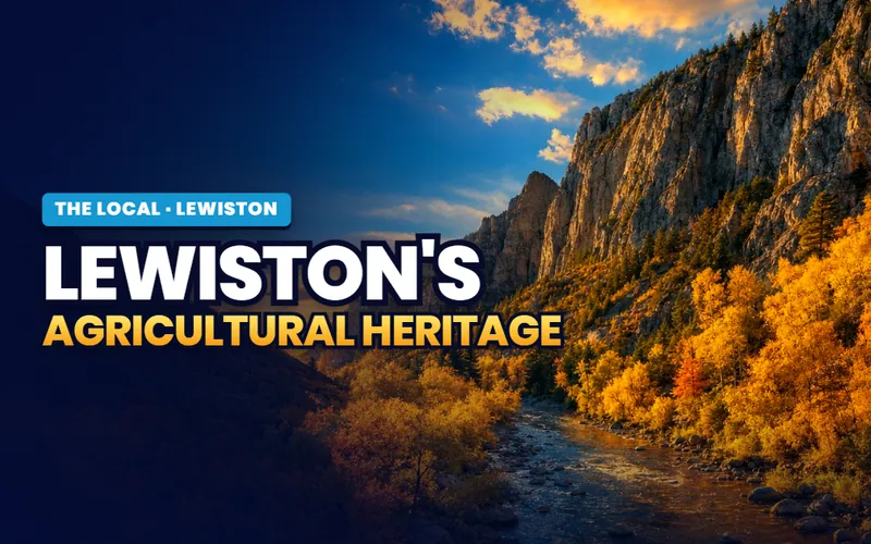
Farm country
Lewiston's Agricultural Heritage
The sugar beet era and the dairies that still work the Idaho line landscape.
Read the guideCity guides
Twelve towns, on the practical side
Every town in the valley carries a full practical guide: prices, neighborhoods, schools, utilities and the listings themselves. As each town's companion goes live on The Local, its band appears on this page above this list, with Logan first in line and carrying the valley's deepest set of guides.
The hub city
Logan
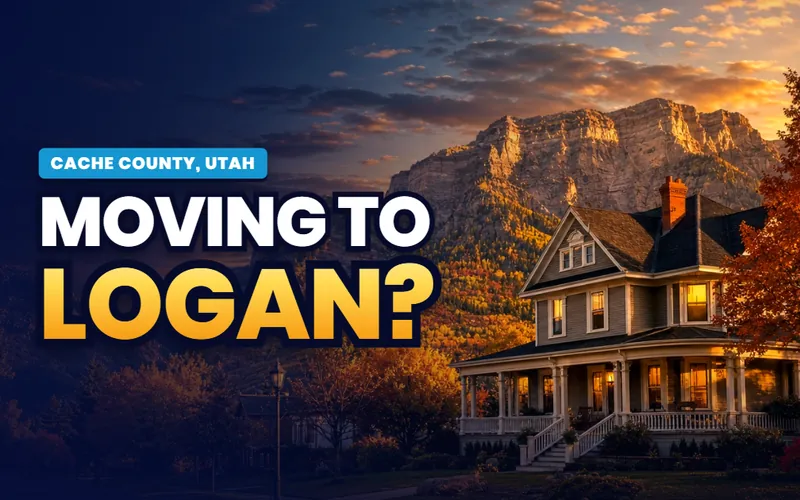
The valley hub, with the county offices, at about 55,600, built on Lake Bonneville terraces at the mouth of Logan Canyon, with Utah State on the bench above downtown.
The city guide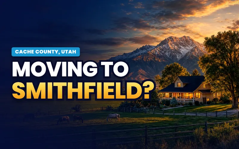
Utah's Health City
Smithfield
A pioneer grid on Summit Creek north of Logan, its own canyon behind it, and Health Days filling Main Street each May since 1925.
The city guide
The south end anchor
Hyrum
A south valley town at the mouth of Blacksmith Fork Canyon, with its own reservoir and state park and municipal power on the poles.
The city guide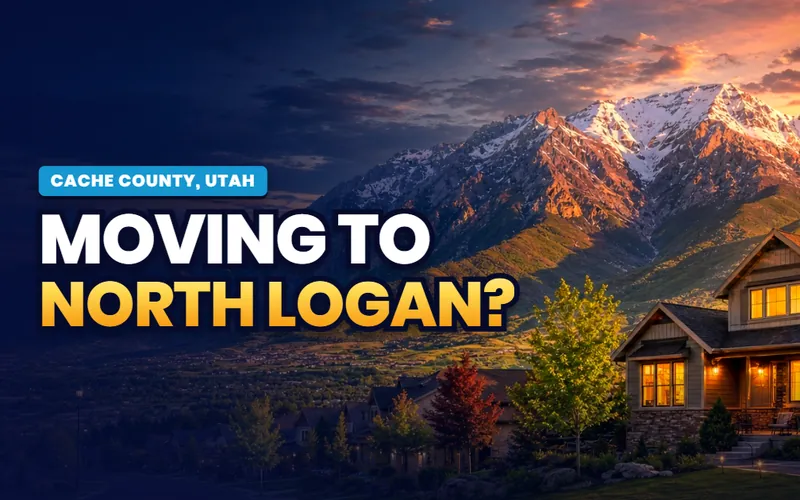
Above the university
North Logan
The bench town north of campus, home of the Pumpkin Walk and the closest town to Green Canyon on the east side.
The city guide
Under the quarry canyon
Providence
An east bench town below Providence Canyon, with the 1869 Old Rock Church still standing on Main.
The city guide
The valley floor newcomer
Nibley
A fast growing valley floor town south of Logan, threaded by a protected wetland where a rare native firefly population draws watchers each June.
The city guide
Black and White Days
Richmond
A working farm town at the north end, home to the longest running dairy cattle show in the valley and the doorstep drive to Cherry Peak.
The city guide
The oldest town
Wellsville
Cache Valley's first settlement, founded in 1856 under the steep Wellsville Mountains, with a Gothic tabernacle and the American West Heritage Center nearby.
The city guide
Between two towns
Hyde Park
A US-91 town between North Logan and Smithfield, with a new stretch of the Bonneville Shoreline Trail climbing its canyon bench.
The city guide
The east bench
Millville
A residential bench town below the Millville Face, where paragliders launch on calm evenings above the valley.
The city guide
The littlest town
River Heights
A small residential enclave on the bench above the Logan River, with a century old cider farm and its August Apple Days.
The city guide
The Idaho line
Lewiston
The valley's far north farm town on the Idaho border, between the Bear and Cub rivers, with a four generation butcher and a big small town Fourth of July.
The city guideQuick answers
Cache Valley, answered
The city guides at /cities/ answer whether to live somewhere: prices, neighborhoods, schools, commutes and the listings. The Local's pages answer what you actually do here and how the valley works day to day: which canyon stop is worth the drive, where to get above the winter inversion, when the fireflies emerge in Nibley, and what a fare free bus does and does not reach. The practical guides for all twelve towns are already live, and The Local's editorial layer is arriving on top, region subjects first.
Because the things that define Cache Valley belong to no single town. Logan Canyon is the one road east and the door to Bear Lake, Utah State employs and entertains the whole valley, the ski hills price every household's winter, the Wellsville Mountains wall the west side, and the dairies flavor the entire drive. Each shared subject gets one region page here, written once and linked from every town's companion, instead of twelve overlapping retellings.
Twelve carry full guides: Logan, where the Cache County offices are, plus Smithfield, Hyrum, North Logan, Providence, Nibley, Richmond, Wellsville, Hyde Park, Millville, River Heights and Lewiston. All sit inside Cache County, which reached about 145,000 people in 2024. Bear Lake, an hour east over Logan Canyon, sits in Rich County and is covered here only as the day trip over the summit.
Yes, and from both directions. Cache County reached about 145,000 people in 2024, up roughly 9 percent since the 2020 census, with the gain coming from both new births and people moving in rather than migration alone. The Cache County School District hit a record enrollment in the 2024 to 2025 year, and Logan and North Logan have adopted new zoning to allow more housing. The valley floor towns south of Logan are where much of the new construction is going.
Cache Valley is a bowl walled by mountains east and west, so in winter cold air and the pollution with it settle onto the valley floor and can sit for days. The American Lung Association has ranked the Logan area among the nation's worst for short term winter particle pollution, though recent years have shown some improvement. It is a seasonal problem, not a year round one: the air is clean most of the year, and many residents head up the canyons to the ski hills to get above it. The Beaver Mountain and Cherry Peak page covers that escape.
Bear Lake is about 43 miles east, up and over Logan Canyon on US-89 to the summit, then down to Garden City on the west shore, close to an hour in fair weather. Beaver Mountain sits up the same canyon, and Cherry Peak is near Richmond at the north end of the valley. There is no interstate or passenger rail in Cache County, so all of it is a drive, and both Sardine and Logan canyons can ice in winter.
Scott Buehler is based in Southern Utah, so for on the ground work in Cache Valley he connects buyers and sellers with a trusted local partner agent and stays on the file for the research and the financing side. If you work with a referred agent, that agent's brokerage pays a referral fee to Real Broker, LLC out of the agent's compensation rather than as an added cost to you, and using a referred agent is never required.

A college town in dairy country. The same honest help
My base is Southern Utah, so for the on the ground work in Cache Valley I connect buyers and sellers with a trusted local partner agent and stay on the file for the homework and the financing side. Tell me what you are weighing, a bench lot with a canyon behind it, a valley floor build south of Logan, or a farm town near the Idaho line, and I will get you the honest version.
Referral disclosure. Outside Southern Utah, I connect home sellers and buyers with partner agents I trust in their area. If you choose to work with an agent I refer, that agent's brokerage pays my brokerage (Real Broker, LLC) a referral fee. The fee comes out of the agent's compensation; it is not an added cost to you. You are always free to choose any agent you wish, and using a referred agent is never required.