
The second metro region
The valley under the mountain
Utah Valley, from The Local
A valley of about 760,000 people between an 11,752 foot mountain wall and the state's largest freshwater lake, growing faster in raw numbers than anywhere in Utah, with nineteen cities sharing the ground between. The Local arrives here valley first: the subjects every city shares get their own pages, and the city companions follow.
Start here
One wall, one lake, and nineteen cities between
Utah Valley's geography is legible from any parking lot in it: Mount Timpanogos and the Wasatch run a 7,000 foot wall down the east side, Utah Lake fills the western floor at its legally pinned 4,489 feet, and every one of the nineteen cities sits somewhere on the gradient between wall and water. The bench cities ride the old lake terraces against the mountain, the shoreline cities hold the flats, and the canyons, Provo, American Fork, Hobble Creek, Payson, are the doors through the wall.
Like Salt Lake County before it, this region reads county first on The Local, because the things that define life here belong to no single city: the canyon and the loop road over the mountain's shoulder, the lake and its advisory map, the trail on the buried aqueduct, the two campuses and their eighty thousand students, the byway over the Wasatch roof and the family venue bench. Each gets one page below, written once, and the nineteen city companions route to them.
The other headline is arithmetic: Utah County added 15,914 people in 2025, the largest numeric growth in the state and about a third of Utah's total, on its way from 760,000 toward a projected million. That growth is the quiet subject under half the pages in this region, from Vineyard's new shoreline city to Eagle Mountain's data centers, and the honest version of it is told town by town.
Utah Valley at a glance
19
cities with full guides here
7
valley subjects live on The Local
11,752 ft
Timpanogos above a 4,489 ft lake
~760K
people, growing fastest in Utah by count
Live now
Seven subjects the whole valley shares
The canyon, the mountain and its loop road, the lake, the trail on the buried aqueduct, the byway over the Wasatch roof, the two campuses and the days out. Each belongs to all nineteen cities at once, so each gets one valley page rather than nineteen retellings, written for someone weighing the valley from out of state and honest about what is open today versus what is only announced.
The canyon
Provo Canyon
US-189 stop by stop: Bridal Veil Falls, Nunns Park and the winter ice, Vivian Park's pond rules, and the river trail that beats the drive.
Read the page
The mountain
Mount Timpanogos and the Alpine Loop
One mountain, a ticketed cave, two Recreation.gov calendars and a road that closes all winter, drawn as one line and decided stop by stop.
Read the page
The lake
Utah Lake
Five access points, three algal advisory tiers, 29 million pounds of carp removed, and a recovery further along than the folklore admits.
Read the page
The spine
The Murdock Canal Trail
Seventeen flat paved miles on the lid of a buried aqueduct, through seven cities, under every major road, with handshakes to two more trails.
Read the page
The byway
The Nebo Loop
About 37 miles over the Wasatch roof: the seasonal gate answered honestly, Grotto Falls, the Payson Lakes swim beach and a pocket Bryce Canyon.
Read the page
The campuses
BYU and UVU
The valley's two campuses as venues: a 62,073 seat stadium, the Big 12's biggest arena, four free museums and one honest game day manual.
Read the page
Days out
Family weekends in Utah Valley
Nine outings by activity, price and season, from the seven venue campus in Lehi to Olympic ice at six dollars, with the closure rumors sorted.
Read the pageGetting around
Trains, a rapid bus, an airport and one very busy interstate
The valley's transit spine is FrontRunner, with five stations down the county: Lehi, American Fork, Vineyard, Orem Central and Provo Central. Fares are distance based from a $2.50 base, and every ticket includes two hours of transfers, which matters because the county's second spine hangs off the first: UVX, the rapid bus line linking both train stations through UVU, University Parkway and BYU in mostly dedicated lanes. UVX has charged regular fares since August 2024, $2.50 a ride, though university affiliates ride free with ID; any page still calling it free is out of date.
The rail news is bigger than the rail present: FrontRunner 2X, the double tracking program meant to double frequencies, was approved into the federal Engineering phase on August 7, 2026, aiming at a roughly $1.3 billion grant, new double track reaching south to American Fork, and construction anticipated 2027 to 2030. That is announced, not built, so treat it as a plan rather than a feature. Meanwhile Provo Airport, Utah's second busiest, runs three airlines to about eighteen nonstop destinations from a 2022 terminal now being expanded from four gates toward ten by late 2028.
The road story is I-15 and its pressure points: the Spanish Fork to Springville widening finishing in summer 2026, a new Payson interchange starting construction in spring 2027, and the Point of the Mountain commute north, which is enough of a subject that Lehi's companion will carry it as its own page. The honest summary for a newcomer: the valley moves well off peak, strains at the two canyons' rush hours, and rewards anyone whose life lines up with a train station.
The valley's year
Four clocks run this valley
Learn these four and the valley's calendar makes sense. The mountain clock: the Alpine Loop and the Nebo Loop open around late May and gate shut in late October, so the high country is a summer possession and early October is its famous last week. The lake clock: algal advisory season runs the hot months, June through September, with the state's map as the daily truth. The campus clock: two universities fill the valley from late August to late April and hand it back for a quiet summer, with move week in late August as the year's logistical crunch. And the festival clock: tulips in April and May, Stadium of Fire and the city festivals through July, the farm falls and storytellers in September and October, Luminaria in December. The seven subject pages above carry each clock's detail, dated.
Live now
Provo, from the lake to the letter
Provo has about four miles of buildable ground to work with, between the Wasatch standing up hard on the east side and Utah Lake lying flat against the west, and almost everything about the place follows from that strip. Three separate climbs rise off the east edge inside residential streets, and they are confused for one another everywhere: a concrete letter 380 feet tall that a human chain poured in a single day in April 1906, a canyon mouth with hundreds of bolted routes and no seasonal gate in any month, and a 7,865 foot summit that changed its name in September 2022 behind a road that closes every November. Running the other way, a paved trail crosses the whole width of the city from a marina begun in the 1930s to the canyon mouth at 800 North, passing 260 acres of restored river delta that opened to the public in October 2024. In between sit twenty five acres of Center Street on the National Register, a five gate commercial airport inside the boundary, and one day in July with four events stacked on top of each other. The companion opens with the ranked twelve, the letter and the canyon mouth. Seven further pages round out the Provo companion.

The companion
Provo, the whole picture
The letter, the canyon mouth, the summit, the street, the river, the lake door and the year, together.
Open the companion
The top 12
Things to do, ranked
Twelve, because twelve is what survives once the canyon, the mountain, the lake and the campuses go back to the valley.
See the twelve
The lake door
Utah Lake State Park
Four ramps and a thirty acre marina at the end of Center Street, with 260 restored acres of river delta beside them.
Read the guide
The letter
Y Mountain and the Y
A mile of switchbacks to concrete poured by hand in 1906, on ground a university waited on Congress to buy.
Read the guideLive now
Orem, the city that ran out of ground
Orem holds 98,129 people on 18.61 square miles in the middle of Utah Valley, and its own General Plan says the plain thing out loud: there is very little remaining undeveloped land inside the boundary and everything from here is infill. What a full city does instead is spend on what it already owns, and the evidence is unusually good. Twenty named parks, one of them a Danish pleasure garden started in 1880 around a spring fed pond, lost to farmland and then swamp, and rebuilt by the city on 21 acres with about 24,000 tulips coming up every April. An arts nonprofit running since 1933 across a hillside amphitheater that seats upward of five thousand on grass and a 1941 cinema holding two houses, a gallery and a free city museum, with a municipal swimming pool a hundred meters away that almost everybody assumes belongs to it and does not. A 1973 enclosed shopping mall that refused to die and is instead being rebuilt across 120 acres with a public street cut straight through the middle of it and two acres of programmed green in the center. And a civic block on State Street where 4,100 volunteers put up an all abilities playground in six and a half days and a library holds two stained glass walls made from five thousand pieces. The companion opens with the ranked twelve, the arts institution and the district. Three further pages round out the Orem companion.
The companion
Orem, the whole picture
The arts institution, the district, the garden from 1880, the civic block and the finished ground, together.
Open the companion
The top 12
Things to do, ranked
Twelve, because twelve is what an honest count leaves once the mountain, the lake, the canyon and the campuses go back to the valley.
See the twelve
Since 1933
The SCERA
A hillside amphitheater, a 1941 cinema with two houses and a free museum, and the city pool people keep confusing with it.
Read the guide
Moving here
A built out city
A public register of a thousand accessory apartments, nine neighborhood plans, and a school district that changes in 2027.
Read the guideLive now
Lindon, from the harbor to the foothills
Lindon is about eight and a third square miles and it spends all of them reaching, from the shore of Utah Lake at one end to the Bonneville bench under Timpanogos at the other. That cross section is why a city of 11,397 people at the 2020 census owns both a harbor and a foothill nature park, and why its public estate is deeper than its size suggests: five pools and a standing wave on one civic block for six dollars, a free public horse arena with roping chutes and lights that anybody can use from six in the morning until eleven at night, and 6.5 paved miles of trail the city spent roughly twenty years connecting, closed out with a 0.85 mile segment ribbon cut with Vineyard on 26 August 2025. The water end of it belongs to the only privately run access point on Utah Lake, at the address where a Victorian pleasure resort stood from 1890. And the motto the town has published its own newsletter under for years turns out to be enforceable: chapter 6.32 of the city code permits the keeping of animals and livestock in every zone in the city. The companion opens with the ranked nine, the harbor and the pools. Three further pages round out the Lindon companion.

The companion
Lindon, the whole picture
The harbor, the pools, the trail, the week in August and the code behind the motto, together.
Open the companion
The top 9
Things to do, ranked
Nine, because nine is what survives once the lake, the mountain and the canal trail go back to the valley.
See the nine
The lake door
The Lindon Marina
Two ramps, eighteen slips, a rental fleet and a sand beach, at the one private harbor on Utah Lake.
Read the guide
Moving here
A little bit of country
A motto that is also a land use rule, an irrigation season, and a district that changes name in 2027.
Read the guideLive now
Vineyard, built in one decade on a mill site
Vineyard counted 139 residents at the 2010 census and 12,543 at the 2020 one, which is roughly ninety times its starting size and the largest decade increase of any American city of a thousand people or more. The reason is a single piece of ground: an integrated steel mill built by the federal government between November 1941 and December 1944, put several hundred miles inland deliberately, ran on about 1,600 acres of Utah Lake's east shore until November 2001, and when its furnaces came down with five thousand pounds of explosives one morning in June 2005 the city inherited a cleared, remediated site with a freeway on one side and a lake on the other. What stands there now is a 700 acre walkable downtown opening in phases, with a grocery since November 2025, a pizzeria since May 2026, twelve acres of promenade since summer 2025, a 272,000 square foot cancer center under construction for a fall 2028 opening, and Utah's first regulated heating and cooling thermal public utility under the road. Along the western edge run about 4.2 mostly paved miles of lake bank with thirty two feet of climb and no shade at all, and in the middle sits a commuter rail platform that opened in August 2022 without adding a fare for anyone traveling through it. The companion opens with the ranked six, the new downtown and the mill that preceded it. Three further pages round out the Vineyard companion.

The companion
Vineyard, the whole picture
The lake bank, the new downtown, the mill that stood here first, the platform in the middle and the growth curve, together.
Open the companion
The top 6
Things to do, ranked
Six, because six is what a city that had 139 residents in 2010 actually holds once the valley's scenery goes back to the region pages.
See the six
The new downtown
Utah City
Roughly 700 acres going up all at once, sorted into what has opened, what is under construction and what is only drawn.
Read the guide
What was here
The Geneva years
A wartime mill on 1,600 acres, fifty seven years of steel, and the morning in 2005 when the furnaces came down.
Read the guideLive now
Lehi, from the mill to the mountain gap
Lehi was settled in the fall of 1850 and spent its first century milling flour and hauling sugar beets, and the mill that did it is still running at 833 East Main Street. What happened next is the fastest thing in this valley: 75,907 people at the 2020 census and higher since, a population up about 102.6 percent from 2010, and a city that now holds the densest band of office and industrial ground in the county along the interstate. The gap in the ridge explains most of it, because the Point of the Mountain is the main crossing between the two valleys and Lehi holds the southern half. Off exit 284 sits a nonprofit campus running seven ticketed venues with their own timed tickets, from sixty mounted dinosaur skeletons to fifty acres of garden, with four dated festivals and a corn maze on the grounds that belongs to somebody else entirely. At the bottom of town, Utah Lake empties through its single outlet into a 45 mile river, worked by control gates set against an agreement dated 1885. The companion opens with the ranked eight, the campus and the corridor. Three further pages round out the Lehi companion.
The companion
Lehi, the whole picture
Eight ranked entries, the venue campus, the 1906 mill, the outlet and the corridor, together.
Open the companion
The top 8
Things to do, ranked
Eight, because eight survives an honest count once the valley takes its scenery back.
See the eight
The campus
Thanksgiving Point
A nonprofit campus running six ticketed venues on one card, with four dated festivals a year.
Read the guide
Moving here
South of the Point
What is finished, what is under construction to 2028, and the date already set for 2027.
Read the guideLive now
American Fork, from the fee gate to the sand beach
American Fork holds the part of Utah Valley where the useful ground is at its most pinched, and it spends the whole width of it: a national forest fee corridor begins where the streets stop at the north east corner, and a city harbor sits at the south end where the grid runs out against Utah Lake. That is why one city of 33,337 people at the 2020 census owns both a canyon and a boat ramp, and why its two doors are run by nobody in common. The canyon takes ten dollars for three consecutive days, twenty for seven and sixty for a year, shuts half its road behind a winter gate between roughly milepost 14 and 22.5, and now asks for a Recreation.gov timed entry ticket to park at one trailhead on weekend mornings from mid July into October. The harbor takes five dollars for a car and nothing at all on foot, and reopened on 30 June 2025 after a 3.9 million dollar rebuild that added a welcome building, an expanded beach under shade structures, a playground and a twelve foot trail. In between sit 27 parks, a 22 acre sports complex whose name the council put right in May 2025, a historic Main Street core that the newer cities around it cannot build, and eight days in July that take over nine venues at once. The companion opens with the ranked seven, the canyon and the July week. Three further pages round out the American Fork companion.

The companion
American Fork, the whole picture
The fee gate at one end of town, the sand beach at the other, and the ranked seven between.
Open the companion
The top 7
Things to do, ranked
Seven, because seven is what survives once the mountain, the lake and the canal trail go back to the valley.
See the seven
The canyon door
American Fork Canyon
The pass, the winter gate, the reservoir parking lots and the weekend ticket almost nobody expects.
Read the guide
Moving here
Where the valley narrows
A pinched valley floor, a Main Street that survived, and a general plan being rewritten across both.
Read the guideLive now
Pleasant Grove, between two canyons
Pleasant Grove was first staked on 19 July 1850 on the flat between two creeks, and the geography has not loosened its grip since. Battle Creek reaches the valley at the end of 200 South and Grove Creek at the end of 500 North, so a city of about 37,700 people carries two named canyon trailheads inside its own boundary, at the exact line where residential tarmac gives out and a Forest Service sign begins. The pair sit a mile apart and behave nothing alike. One is roughly a mile and a half round trip to a fall of about fifty feet that freezes hard enough in February to hold seven cataloged ice lines, from WI3 to WI4 plus. The other climbs about 1,500 feet in two miles on grades the Forest Service publishes at 10 to 35 percent, along a narrow tread the agency describes as exposed to cliff bands, and carries on 3.4 miles above that to a junction with the high country. Between the two, on the slope everybody photographs, stands a high school letter laid in canyon rock in 1920 and rebuilt in 2023 as roughly 490 cubic yards of concrete with its lighting on a remote switch. Down on the flat the town has run a June celebration since 1921, first staged by a commercial club to advertise a strawberry crop that stopped being grown here in the 1950s, and it has twice assembled an acre of timber playground with its own hands, once in 1996 and again in eight days in 2019. The companion opens with the ranked ten, the short canyon and the long one. Three further pages round out the Pleasant Grove companion.

The companion
Pleasant Grove, the whole picture
Both canyons, the June week, the playground built twice and the fruit ground that went, together.
Open the companion
The top 10
Things to do, ranked
Ten, because ten is what an honest count leaves once the mountain, the bench trail and the lake go back to the valley.
See the ten
The short canyon
Battle Creek Falls
Three quarters of a mile to fifty feet of water, and the same water under rope teams in February.
Read the guide
Moving here
The orchards that were
Bench soils that protected a fruit crop, a boundary that interleaves with four neighbors, and 1 July 2027.
Read the guideLive now
Alpine, at the end of the road
State Route 74 leaves US-89 at the American Fork end of the valley, runs about five miles north and finishes in Alpine, because the ground behind the town stands up into 30,088 acres of designated wilderness and there is nowhere left for a road to go. Local streets connect west into Highland and Cedar Hills, so nobody is sealed in, but no one drives through here on the way to somewhere else. What that leaves is 10,251 people at the 2020 census at about five thousand feet, under a skyline running to 11,253 feet at Lone Peak and 11,101 at Box Elder Peak, with a short list of very specific things rather than a long list of ordinary ones. Alpine owns 255 acres at Lambert Park and has left almost all of it alone, so more than sixteen miles of volunteer built singletrack run through scrub oak and maple with a rodeo ground inside the boundary and a poppy bloom among homestead ruins for about three weeks each spring. Two trailheads at the top of residential streets open onto Utah's first wilderness, designated in 1978. And a round river rock tower built between 1860 and 1866 for the defense of one household is the only one of its kind known in the state. The companion opens with the ranked eight, Lambert Park and the Horsetail Falls walk. Three further pages round out the Alpine companion.
The companion
Alpine, the whole picture
Seven pages on a town of ten thousand at the top of the valley, under a wilderness.
Open the companion
The top 8
Things to do, ranked
Ranked from a 255 acre park down to a splash pad, with a season named against each one.
See the eight
255 acres
Lambert Park
A poppy bloom, a downhill called Rodeo, and a five hundred dollar fine for a motor.
Read the guide
Toward Lone Peak
The Hamongog route
Jacob's Ladder is Draper's. This is the Alpine way at the same mountain.
Read the guideLive now
Highland, and the shape a homestead left behind
Highland is 8.64 square miles of bench between American Fork Canyon and the Lehi corridor, and almost every other town around it was drawn before it was lived in: a survey, a grid of blocks, a center, and lots handed out from it. Highland was not. Its own published history calls it a free-lance settlement rather than the result of a central mind, homestead patents were filed here from 1869, and because claimants picked their own ground the early farmsteads averaged 131 acres against ten acres or fewer in the closely laid out towns immediately below the bench. Then almost nobody lived on it for a century: 88 people at the 1880 census, 195 by 1900, 310 by 1940, and no incorporation until 13 July 1977, when the city took in 2,142 acres. By the 2020 census there were 19,348. What that leaves is a city with farm scale spacing, three large lot residential districts and no small lot detached zone at all, no traditional Main Street, and a public estate far deeper than its commercial one: 25 parks and 18.4 miles of trail, a pond the state both stocks and samples, an 18 hole disc golf course the players fund themselves, four miles of singletrack a school team cut in a gulch in 2016, a one acre municipal campground, and two separate trailheads onto the county's paved bench corridor, which no other city on that route has. The companion opens with the ranked nine, the pond and the disc golf hill. Three further pages round out the Highland companion.

The companion
Highland, the whole picture
Seven pages on a bench city: the pond, the course, the celebration, the hollow and the code.
Open the companion
The top 9
Things to do, ranked
Nine, which is what 8.64 square miles holds once the canyon goes back to the valley.
See the nine
The pond
Highland Glen Park
A community fishery, a beach with no lifeguard, and a state results page behind both.
Read the guide
Moving here
A town of acre lots
Why the parcels are large, and the three code numbers that decide what ground becomes.
Read the guideLive now
Cedar Hills, the smallest city on the bench
Cedar Hills covers 2.73 square miles, which makes it the smallest city on the Alpine bench by land area by a factor of about three, against 7.95 square miles in Alpine and 8.64 in Highland. By population the claim is closer to a coin toss, since the 2020 census counted 10,019 people here and 10,251 next door in Alpine, and the number that matters is what those two figures produce together: roughly 3,670 people to the square mile, the densest ground on this bench. The city sits at about 4,935 feet on a terrace that ancient Lake Bonneville cut into the lower slopes of Mount Timpanogos, it takes its name from the junipers on the hills above it, and it went from first building in 1974 to town status in 1977 and city status in 1999. What that leaves is a place with one commercial corner and a surprising amount of public property: an eighteen hole par 71 at the mouth of American Fork Canyon that residents narrowly voted to bond for in 2001 and then argued about for the better part of twelve years, a park on the main road with an outdoor amphitheater finished in 2024 and a resident theater company on it, and a trailhead onto seventeen paved county miles. The road along the eastern edge was a state highway until the designation was canceled in 2014, and it still carries the traffic to the canyon mouth. The companion opens with the ranked six, the course and the June week. Two further pages round out the Cedar Hills companion.
The companion
Cedar Hills, the whole picture
The course, the June week, the stage on the hill and the ground all three of them stand on.
Open the companion
The top 6
Things to do, ranked
Six, because six is what 2.73 square miles holds once the canyon and the mountain go back.
See the six
The course
The Cedar Hills Golf Club
A municipal par 71 at a canyon mouth, and the twelve year argument that produced it.
Read the guide
Moving here
The smallest city on the bench
Smallest by area by about three times, and a highway that stopped being one in 2014.
Read the guideLive now
Springville, the Art City, and the canyon behind it
Springville counted 35,268 people at the 2020 census, sits at 4,554 feet on the west slope of the Wasatch, and owns an unusual amount of what a visitor would come for. The museum at 126 East 400 South is Utah's oldest for the visual fine arts, free at the door, and a department of the city since the collection and its 1937 Spanish Colonial Revival building transferred from Nebo School District in 1975; alongside a Utah chronology and an American collection it holds a substantial Soviet era Russian body of work, on show until May 2028. The nickname behind all of it has a date on it: in 1903 the sculptor Cyrus E. Dallin, born here in 1861, and the painter John Hafen each gave a work to the local high school, and Hafen wrote down that he hoped it would start a collection. East of the grid, Canyon Road climbs into Hobble Creek Canyon and forks about three miles up, with a city owned par 71 laid out by William F. Bell, more than 400 acres of city parks and a 54 site municipal campground on the Right Fork, and a Forest Service campground above them on a shorter season. World Folkfest turned forty in 2026, running 30 July to 1 August at Spring Acres Arts Park with performers drawn from 79 countries over its history. And in June 2026 the city painted three color named walking loops across eight downtown blocks, all of them starting at the museum door. The companion opens with the ranked ten, the museum and the festival. Three further pages round out the Springville companion.

The companion
Springville, the whole picture
A free museum, a canyon with a golf course in it, three nights of folk dance and a hatchery nobody may enter.
Open the companion
The top 10
Things to do, ranked
Ten, because ten is what survives once the lake, the byway and the campuses go back to the valley.
See the ten
The free door
The Springville Museum of Art
Utah's oldest for the visual fine arts, run as a city department, with a Soviet era collection inside it.
Read the guide
The canyon
Hobble Creek Canyon
A road that forks three miles up, and a city that runs 400 acres of parks above the split.
Read the guideLive now
Mapleton, the bench at the southern doorstep
Mapleton counted 11,365 people at the 2020 census across about 13.3 square miles of bench at roughly 4,748 feet, and the thing that shaped it is a road that was never built here. Interstate 15 went around this town, US-89 carries the traffic straight through, and a place the motorway missed kept its acreage and never grew a row of shops. The whole town leans east instead, toward a canyon mouth where 400 North becomes Maple Canyon Road, holding a Forest Service campground of twenty seven pitches at 5,400 feet with three listed equestrian sites and no drinking water at all, and two numbered trails that split above it into one closed to engines and one open to them. Down on the flat, six paved miles of asphalt sit on the roof of a piped canal and never climb, never gate and never close. On the south edge of the city park, five pieces of local history include a Victorian house of 1892 that has been on the National Register since 28 November 1980. And for nine days every July the town puts more than ten thousand people through a parade, a sunrise hike up a 10,193 foot peak and a helicopter emptying ping pong balls over a park. The companion opens with the ranked eight, the campground and the canyon. Three further pages round out the Mapleton companion.
The companion
Mapleton, the whole picture
The canyon road, the twenty seven pitches, six paved canal miles and nine days in July.
Open the companion
The top 8
Things to do, ranked
Eight entries in a town with no shops, sorted so the vehicle does as little as possible.
See the eight
The canyon
Maple Canyon
Why climbers who search this name want Sanpete County, and what is actually up this road.
Read the guide
Moving here
The quiet side of Hobble Creek
Animal rights written on a plat, an overlay read at the permit counter, and a missed freeway.
Read the guideLive now
Spanish Fork, where the valley runs out of room and a canyon starts
Spanish Fork sits at 4,666 feet on the point where its canyon opens into the south end of Utah Valley, and almost everything distinctive about the place is downstream of that. The canyon carries US-6, the only direct road out of this valley to the eastern half of Utah, currently the subject of a UDOT program that has already rebuilt about four miles of it and has a $53.4M widening running on top of that. It funnels a daily drainage wind across the ground at its mouth, reliably enough that Utah's first utility scale wind project was built there in 2008 rather than on a ridge. And it hides Diamond Fork, at the head of which the most searched hot spring in northern Utah now carries a $10 trailhead pass, and like most warm Utah water it can post a seasonal harmful-algal-bloom advisory, so check before you wade. In the city itself, a Rajasthani style temple completed in 2001 stands on roughly fifteen acres of south bench and opens at ten every morning of the year, with tours, a llama paddock and a daily buffet that its festival coverage never mentions. The 2020 census counted 42,602 people and the city projects roughly 54,000 by 2030. The companion opens with the ranked eleven, the temple and the springs. Three further pages round out the Spanish Fork companion.
The companion
Spanish Fork, the whole picture
Seven pages on a city built where a canyon opens, and on everything the canyon sends down it.
Open the companion
The top 11
Things to do, ranked
Ranked eleven, from a temple open daily to a lighthouse with a Viking ship on the east bench.
See the eleven
Open every day
The Krishna Temple
Carved stonework, llamas and a vegetarian buffet on a hilltop, from ten in the morning until eight.
Read the guide
Moving here
The canyon corridor
A highway under a hundred million dollar rebuild, and a city that owns its own power and fiber.
Read the guideLive now
Payson, where the pavement stops being a street
Payson counted 21,101 people at the 2020 census and the Census Bureau put it at 24,630 as of 1 July 2025, on 13.053 square miles of which the city's own 2026 impact fee work records 4,144 acres developed against 4,448 still to develop. More than half of it is still ground. What makes the town unusual is at the back of it: brown byway signs on 600 East, and a residential street that becomes the Nebo Loop National Scenic Byway without a barrier to mark the change. Eight miles up that road the Forest Service maintains a waterfall trail with log bridges on it; twelve miles up, at roughly 8,000 feet, sit three lakes with a swim beach, a fishing pier and an asphalt path right around the biggest of them. The town below runs its own electricity through a city department, was one of the eleven original pledging cities behind UTOPIA Fiber in 2002 and finished its citywide build in late 2021, and keeps three summer traditions on one park lawn: a free Scottish festival in July with a caber title attached, a salmon supper on the first Friday of August that sells out, and a harvest celebration first held in 1929. Its 1901 schoolhouse was scheduled for demolition and is now a museum with twelve display areas and no admission charge. The companion opens with the ranked twelve, the lakes and the schoolhouse. Three further pages round out the Payson companion.
The companion
Payson, the whole picture
A byway that starts on a residential street, an 1901 school, three summer weeks and the water rules.
Open the companion
The top 12
Things to do, ranked
Twelve, because twelve is what holds up once the byway itself goes back to the valley pages.
See the twelve
The canyon end
Payson Lakes
Three waters at 8,000 feet, the fee card in full, the loops, and the closure five miles on.
Read the guide
Moving here
The south end of the valley
More ground undeveloped than developed, two water clauses, and a train that is only proposed.
Read the guideLive now
Salem, arranged around eleven acres of water
Salem counted 9,298 residents at the 2020 census on 10.53 square miles at the far south end of the valley, and the reason there is a town on that particular patch of ground is a set of springs welling up through the floor of a hollow. Two men dammed them in 1851, the pool that formed gave the settlement its only name for fourteen years, and Pond Town became Salem in 1865 when Lyman Curtis proposed his Massachusetts hometown for it. The pond is still there, still spring fed, still about eleven acres, and it is still where everything happens: a state listed community fishery with a two fish daily limit, a flat loop path of roughly half a mile, a cardboard boat race every August and lit Christmas trees standing out on the open water every December. The mountain the town is named around is the other half of the story and the honest version is more awkward than the skyline suggests, because the only signed way up it starts thirty minutes away on a scenic byway. On the practical side this is one of six cities in Utah that runs its own electricity, it carries a second pressurized water system that has been metered since 2023, and on the Gardner Institute's release of 5 May 2026 it grew faster between 2024 and 2025 than any other Utah city of its size. The companion opens with the ranked seven, the pond and the canyon road. Three further pages round out the Salem companion.

The companion
Salem, the whole picture
The springs, the celebration, the canyon road, the Pond Town century and the practical side, together.
Open the companion
The top 7
Things to do, ranked
Seven, because seven is what a town built around one pond holds once the byway and the lake go back to the valley.
See the seven
The water
Salem Pond
Eleven acres fed from below, a two fish state limit, a swan that seems to live there, and no ice season at all.
Read the guide
Moving here
The town around a pond
A city that sends its own power bill, two water pipes instead of one, and a growth rate with a date on it.
Read the guideLive now
Elk Ridge, the town on the mountainside
Elk Ridge counted 4,687 residents at the 2020 census and about 4,970 in the 2025 Census estimate, all of them living at 5,361 feet on ground that was a 1,726 acre cattle ranch called the Goosenest until a developer bought into it in 1968. Utah County approved the plat in 1971 with a condition attached, that the place incorporate once it passed a hundred residents, and it did: first house in 1973, the Town of Salem Hills on 22 December 1976, and the name Elk Ridge by special election about eighteen months later, for the elk herds that used to winter here. What grew out of that is a city with no grocery store, no retail core and no through road, because its own General Plan says the small commercial zone exists primarily for assisted living and anything more would need annexation at the north boundary. It runs its own volunteer fire department, contracts its policing to the Utah County Sheriff, and operates no secondary irrigation system at all, so every sprinkler in town draws on treated culinary water. And it designates itself a wildland urban interface area in writing, which September 2018 tested when the Pole Creek and Bald Mountain fires crested Santaquin Peak and the whole city drove down the hill for nine days and came back to every roof intact. The companion opens with the interface page, the mountain and the roads. Two further pages round out the Elk Ridge companion.

The top 5
Things to do, ranked
Ranked from Hike Loafer Mountain and Santaquin Peak down, with the season, the cost and the time needed named on every pick.
See the five
The companion
Elk Ridge, the whole picture
A self declared fire risk, a mountain with two summits, two ways down the hill and the ranch under all of it.
Open the companion
The risk
The wildland interface
The city's own words, the fires that tested them, and the fee Utah attached to high risk ground in 2025.
Read the guide
The mountain
Loafer Mountain
10,687 feet, a rival summit two feet lower, and a trailhead in the next town's canyon entirely.
Read the guide
Moving here
Living above the valley
A thirty minute commute, no shops to walk to, and roughly 238 acres left to build on.
Read the guideLive now
Santaquin, where the valley stops and the ground tips south
Santaquin counted 13,725 residents at the 2020 census and sits at 4,987 feet on the summit dividing Utah Valley from Juab Valley, which is why the settlers of late 1851 called it Summit City before the name changed in 1856. The divide is not a detail. The municipal boundary laps over the top and takes in a piece of Juab County, so one city sits in two of them, and the next settlements south on the freeway are in another county altogether. The benches either side of that divide are planted, and they matter nationally rather than locally: Utah is the second largest producer of tart cherries in the United States after Michigan, twenty to forty million pounds in a typical year, most of it grown within a few miles of here and processed by a twelve farm co-op in Payson. In 2026 the warmest winter in 131 years pushed bloom a month early, mid April frosts killed it, and the harvest came in at ten to fifteen percent of normal with sixty seasonal workers instead of five hundred. Behind the houses, the canyon road that was shut by fire and avalanche from 2018 reopened in 2025 after federally funded repair, and it gates again every December. The companion opens with the ranked seven, the farm on 300 West and the canyon. Three further pages round out the Santaquin companion.
The companion
Santaquin, the whole picture
A divide, an orchard economy, a canyon that came back and eight days in August, in one place.
Open the companion
The canyon
Summit Creek Canyon
Shut for seven winters by fire and avalanche, reopened in 2025, and gated again every December.
Read the guide
The farm
Rowley's Red Barn
An orchard that built a shop, a cider mill and a ten acre maze onto itself to stay an orchard.
Read the guide
Moving here
The last town in the valley
One city in two counties, two freeway doors, and an interchange rebuild that is decided but undated.
Read the guideLive now
Saratoga Springs, eleven miles of shoreline with a mountain wall behind it
Saratoga Springs counted 37,696 residents at the 2020 census and the Gardner Institute put it at 60,351 by 2025, a one year gain of 4,682 people that was the largest of any city in Utah. What that arithmetic sits on is a strip of coast: a municipality running roughly eleven miles north to south from Pelican Point to the Camp Williams boundary, with Utah Lake against one edge and the Lake Mountains standing straight up off the other, and Redwood Road threading the whole length of it. Almost everything worth doing here is municipal, which is unusual and useful, because a city fee card can be checked before you drive: 29 parks over more than 260 acres, all of them open 6am to 10pm, two public boat ramps sharing a single launch pass, a thirty foot rope climbing pyramid installed in 2012, and a grass and benches trailhead park where the pavement gives out and a gravel road starts climbing to the ridge masts. The oldest thing in the city is the water. Warm springs still seep out of the lake bank at the north end, they are the reason a resort opened here on 24 July 1884, and the city inherited its name from that resort four years after it closed. The companion opens with the ranked ten, the resort story and the two ramps. Three further pages round out the set.

The companion
Saratoga Springs, in full
Warm water, two ramps, a gravel climb, a rope pyramid and a road network in four different states.
Open the companion
The top 10
Things to do, ranked
Ten, because ten is what eleven miles of shoreline holds once the lake goes back to the valley.
See the ten
1884 to 1993
The old Saratoga resort
A mining fortune, six hot baths, a 350 foot waterslide, and a name the city kept afterwards.
Read the guide
Moving here
The west side commute
One road open, one being built, one funded, one drawn on a plan with 2031 beside it.
Read the guideLive now
Eagle Mountain, drawn onto a valley nobody wanted
Eagle Mountain counted 43,623 residents at the 2020 decennial census on 50.43 square miles of Cedar Valley, which is the one place in this region that sits behind the Lake Mountains rather than in front of them. There was no town here in 1993. Three investors bought roughly 8,000 acres of rangeland at a bankruptcy auction in 1994, the community incorporated as a town covering 24 square miles on 3 December 1996, reached about 42 square miles by 1998 and became a city on 31 May 2001, and it has been filling that outline in ever since. What that produced is a place with no historic street and a great deal of deliberate civic construction in its place: a thirty acre municipal bike park, a flagship park whose lawns are watered with what a data center used first, more than fifty miles of improved trail, and a published calendar of thirty one city events a year. Two older stories run underneath it. The Pony Express carried mail across this ground from April 1860 until October 1861, with two stations in the Cedar Valley segment and a monument still standing fifty feet from a residential corner, and an army of three and a half thousand built Camp Floyd at Fairfield in 1858 for a rebellion that was not happening. The newest story is the one the city is arguing about now, because the same flat empty ground that suited a relay station suits a server hall, and the water that comes with that is a live question with dates on it. The companion opens with the ranked nine, the trail and the cluster. Four further pages round out the Eagle Mountain companion.

The companion
Eagle Mountain, the whole picture
An auction, a mail route, an army post and a server cluster, all on the same flat valley floor.
Open the companion
The top 9
Things to do, ranked
Nine, because nine is what a thirty year old city holds once the lake and the canyons go back over the range.
See the nine
The modern fact
The data centers
What has opened, what is only drawn, and what the record actually says about the water.
Read the guide
Moving here
Living in Cedar Valley
A single working road east, an open desert wind, and a school district with a start date on it.
Read the guideCity guides
Nineteen cities, on the practical side
Every city in the valley carries a full practical guide: prices, neighborhoods, schools, utilities and the listings themselves. As each city's companion goes live on The Local, its band appears on this page above this list, Provo first.
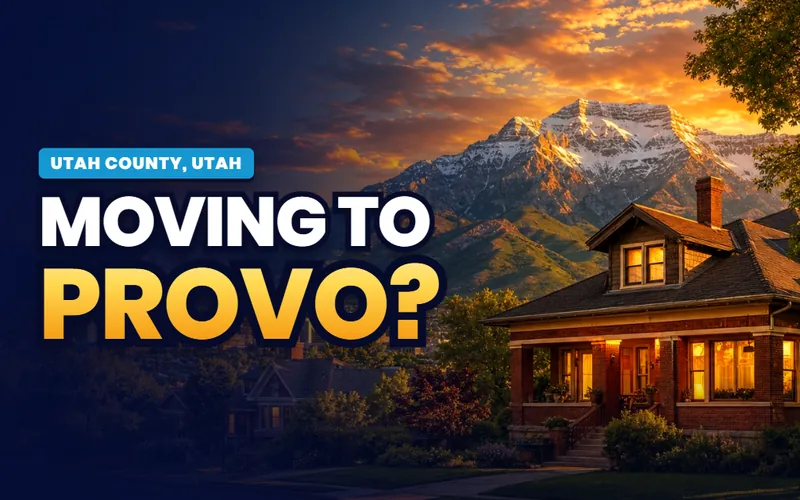
The county offices
Provo
The valley's anchor: the university bench, a rebuilt downtown, Utah's second busiest airport and the lake's front door at the river's mouth.
The city guide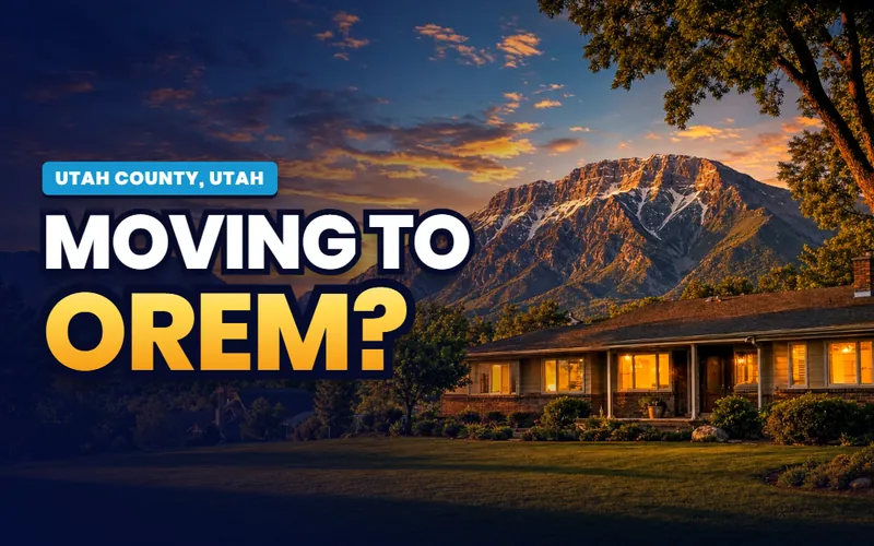
The center
Orem
The valley's middle: UVU and the Noorda, the SCERA's lawn and stages, University Place, and the mouth of Provo Canyon at its east edge.
The city guide
Silicon Slopes
Lehi
The tech corridor's home: Thanksgiving Point's seven venues, the Jordan River's headwater, and the commute through the Point of the Mountain.
The city guide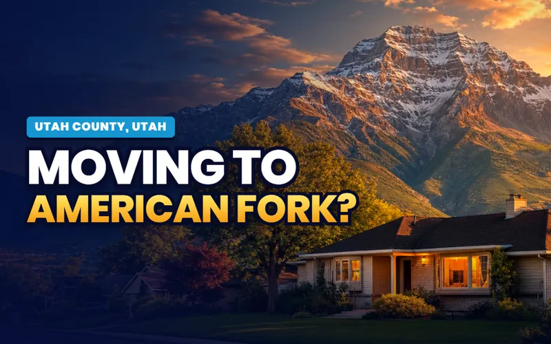
The canyon's city
American Fork
The mouth of American Fork Canyon, the lake's cheapest boat launch, Art Dye Park's trail hub and Steel Days each July.
The city guide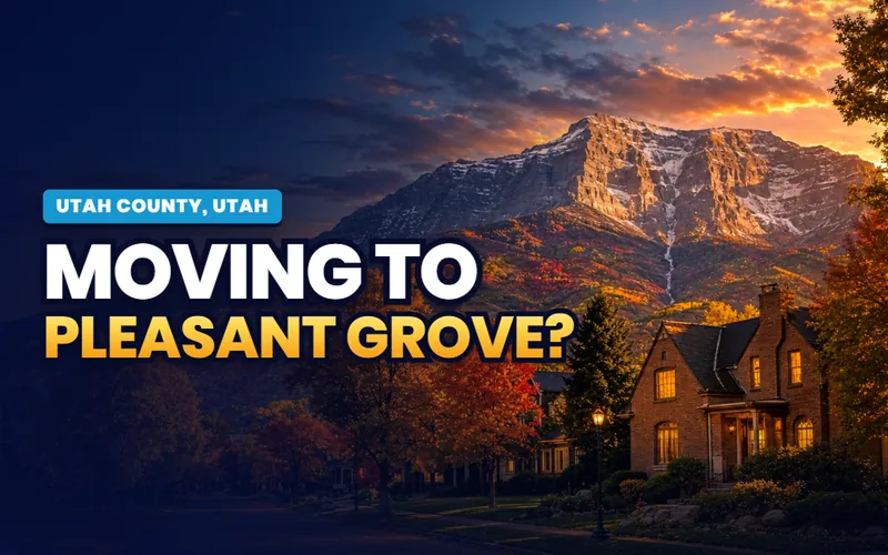
Two canyons
Pleasant Grove
Battle Creek and Grove Creek falling out of the bench above town, and Strawberry Days, held since 1921, on the calendar below.
The city guide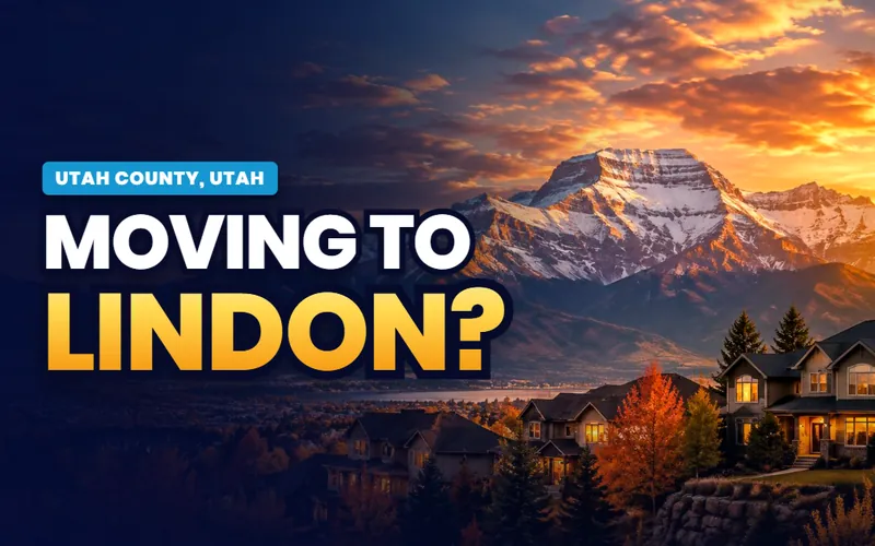
The orchard bench
Lindon
A city that kept its country: the lake's one private marina, the aquatics center, and the Murdock running the old orchard line.
The city guide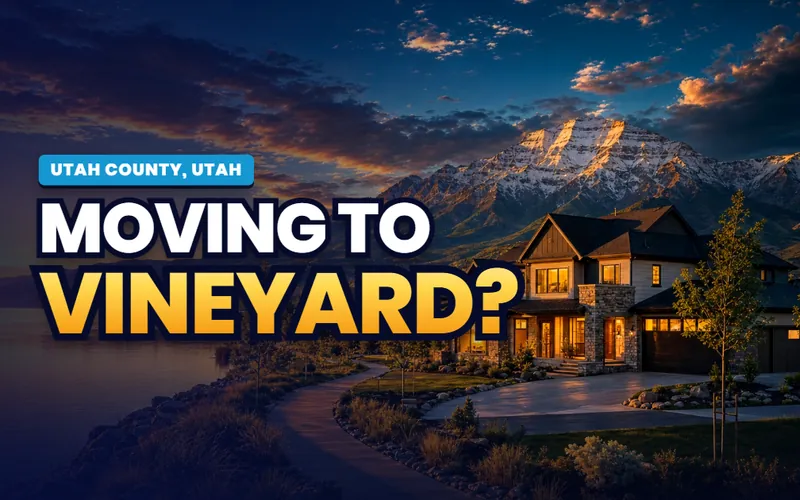
The new shoreline
Vineyard
Utah's fastest changing lakeshore: Utah City rising on the former Geneva Steel ground, a FrontRunner infill station and a growing shoreline trail.
The city guide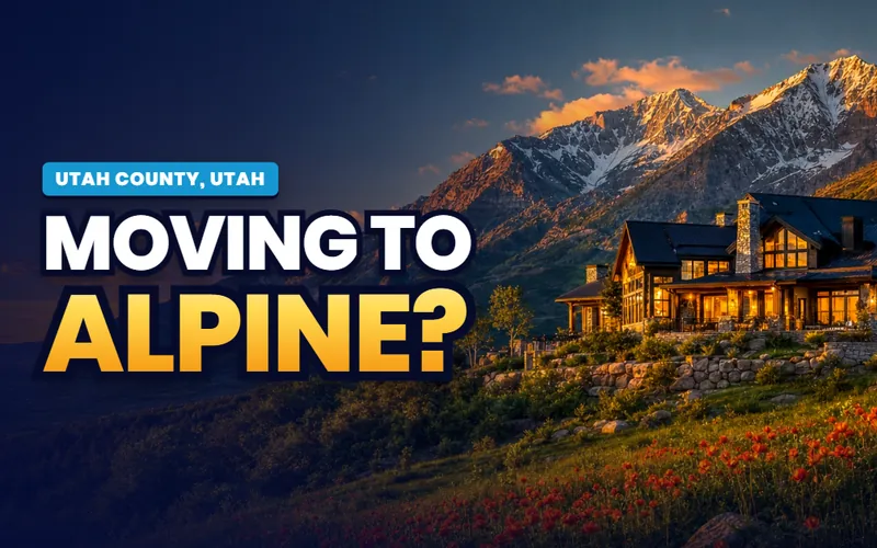
The end of the road
Alpine
The bench town where the pavement stops: Lambert Park's trails and poppy garden, Horsetail Falls and the wilderness boundary above.
The city guide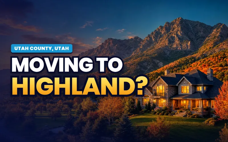
The high bench
Highland
Acre lots on the high ground: Highland Glen's pond, the Murdock's best miles, and a summer Fling with genuine Highland Games.
The city guide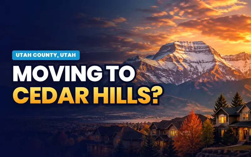
Under the cave canyon
Cedar Hills
The smallest city on the bench, tucked below American Fork Canyon with a city owned golf course climbing its foothills.
The city guide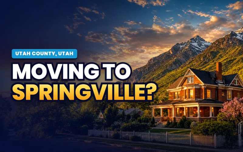
Art City
Springville
Utah's oldest visual art museum, open since 1903, the World Folkfest, and Hobble Creek Canyon running out of the mountains behind town.
The city guide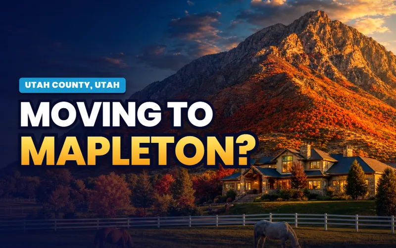
The quiet side
Mapleton
The low key bench under Maple Mountain: Whiting Campground, its own Maple Canyon, and the quiet end of the Hobble Creek country.
The city guide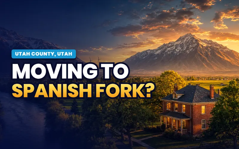
The canyon corridor
Spanish Fork
The crossroads of the south valley: the wind park at the canyon mouth, the Krishna temple's festival calendar and Fiesta Days each July.
The city guide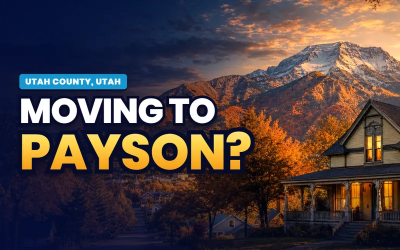
The byway's front door
Payson
Where the Nebo Loop begins: the Peteetneet's historic schoolhouse, Payson Lakes up the canyon and Onion Days on Labor Day weekend.
The city guide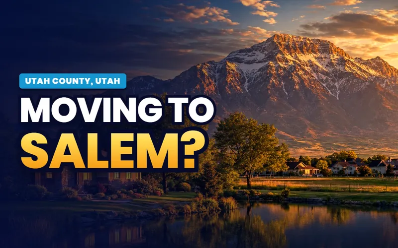
The town around a pond
Salem
A city literally arranged around its water: Salem Pond at the center, Loafer Canyon behind, and Salem Days each August.
The city guide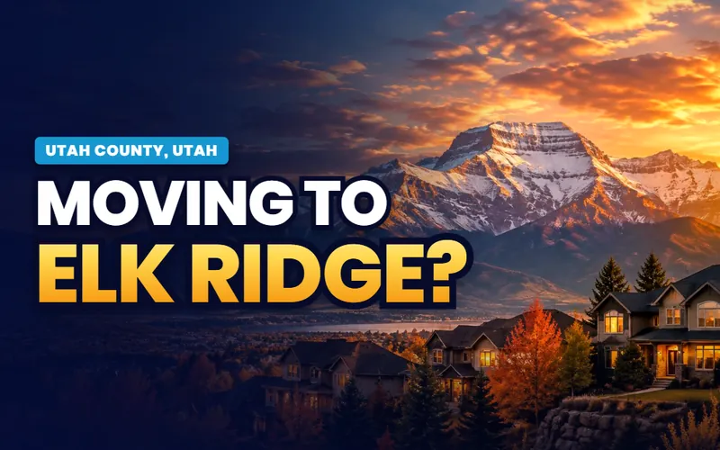
Above the valley
Elk Ridge
The bench town under Loafer Mountain: one access road, big views, and the wildland edge as a fact of daily life.
The city guide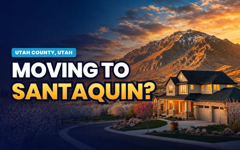
The last town
Santaquin
The valley's southern gate: Rowley's Red Barn, the orchards of the Fruit Way, and Summit Creek Canyon climbing toward the Loop.
The city guide
The west shore
Saratoga Springs
Named for the warm springs on its shoreline: the west side's marina, Israel Canyon's trails and the lake's best sunrises.
The city guide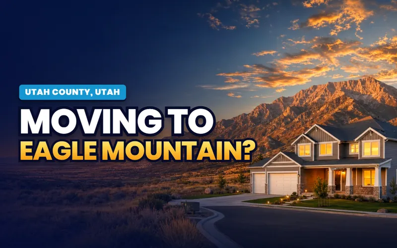
Cedar Valley
Eagle Mountain
The city that annexed a valley: the Pony Express Trail, a data center corridor rising, and Camp Floyd's history fifteen minutes out.
The city guideQuick answers
Utah Valley, answered
The city guides at /cities/ answer whether to live somewhere: prices, neighborhoods, schools, commutes and the listings. The Local's pages answer what you actually do here and how the place works in practice: whether the loop road is open, what the lake's advisory map says, how game day parking works, what the byway's gate means for an October plan. For Utah Valley the practical guides for all nineteen cities are already live, and The Local's editorial layer is arriving on top, valley subjects first.
Because in a metro the amenities belong to the county, not to whichever city touches them. Provo Canyon is not one city's property, Utah Lake washes five cities' shores, the Murdock Canal Trail crosses seven, and Mount Timpanogos belongs to everyone with a window facing east. Each shared subject gets one valley page here, written once and linked from every city's companion, instead of nineteen overlapping retellings.
Nineteen: Provo, Orem, Lehi, American Fork, Pleasant Grove, Lindon, Vineyard, Alpine, Highland, Cedar Hills, Springville, Mapleton, Spanish Fork, Payson, Salem, Elk Ridge, Santaquin, Saratoga Springs and Eagle Mountain. Every one has a full practical city guide live now, and each gets its own companion on The Local, starting with Provo.
Both are summer roads: the high sections typically open between mid May and early July as the snow allows and close in late October. The Alpine Loop's winter closure runs between gates above Timpooneke and at Aspen Grove, with Sundance reachable from US-189 all winter; the Nebo Loop's status lives with the Forest Service's Spanish Fork Ranger District. Each road's page here carries the full seasonal mechanics, and UDOT and the Forest Service carry today's answer.
Check the advisory map first, always: Utah posts harmful algal bloom status at habs.utah.gov, with Utah County Health issuing the operative advisories, and a lake wide Warning Advisory was active in mid 2026. Outside advisory periods the lake is a warm, shallow, green lowland lake that people swim, paddle and sail constantly. The Utah Lake page here explains the three advisory tiers and each of the five access points honestly.
Faster in raw numbers than anywhere in Utah: Utah County added 15,914 people in 2025, about a third of the state's entire growth, reaching roughly 760,000 on the way to a projected million. The growth is uneven by design, concentrated in Vineyard's new shoreline district, Eagle Mountain's Cedar Valley and the Saratoga Springs bench, while the older bench cities have little open land left. The city guides carry each town's honest version.
Scott Buehler is based in Southern Utah, so for on-the-ground work in Utah Valley he connects buyers and sellers with a trusted local partner agent and stays on the file for the research and the financing side. If you work with a referred agent, that agent's brokerage pays a referral fee to Real Broker, LLC out of the agent's compensation rather than as an added cost to you, and using a referred agent is never required.

The fastest growing valley in Utah. The same honest help
My base is Southern Utah, so for the on-the-ground work in Utah Valley I connect buyers and sellers with a trusted local partner agent and stay on the file for the homework and the financing side. Tell me which end of the valley you are weighing, mountain bench, lakeshore or the growing west side, and I will get you the honest version.
Referral disclosure. Outside Southern Utah, I connect home sellers and buyers with partner agents I trust in their area. If you choose to work with an agent I refer, that agent's brokerage pays my brokerage (Real Broker, LLC) a referral fee. The fee comes out of the agent's compensation; it is not an added cost to you. You are always free to choose any agent you wish, and using a referred agent is never required.