
City Provo, Utah County
The valley's anchor, on a strip four miles wide
Provo, from the lake to the letter
About 115,162 people on 41.69 square miles at roughly 4,551 feet, pinned between the Wasatch on one side and Utah Lake on the other, with a paved river trail crossing the whole width of it and three separate climbs above the east edge that almost everybody mixes up. Eleven pages on the city itself, and a clear handover to the seven region pages that own the canyon, the mountain, the lake and the campuses.
 By Scott Buehler, Moving Utah
Updated October 2026
By Scott Buehler, Moving Utah
Updated October 2026
Start here
A city wedged between a wall and a lake, with about four miles to work with
Provo occupies a strip. The Wasatch Range stands up hard on the east side of it and Utah Lake lies flat against the west, and between those two edges there are roughly four miles of buildable ground at the widest point. Some 115,162 people lived inside the city limits at the 2020 census on about 41.69 square miles, at roughly 4,551 feet, which makes it home of the Utah County offices and the anchor of the valley the rest of this region is arranged around. Settlement went in during 1849 as a fort beside the river, incorporation followed in 1850, and the name belongs to a trapper called Etienne Provost who never lived here.
The consequence of that strip is that Provo's outdoor life is unusually vertical and unusually short range. The east bench trailheads are inside residential streets rather than a drive away, the paved river trail crosses the entire city from the lake to the canyon mouth, and the ground rises about three thousand feet in the first two miles east of the last house. You can be on a summit trail minutes after locking your front door, which is a genuinely uncommon arrangement for a city this size.
It also means the famous things here are not all Provo's. The canyon behind the city, the mountain north of it, the lake in front of it and the two campuses that set its calendar are all shared by nineteen cities in this valley, and this region carries proper pages on each. What is genuinely Provo's own is the strip itself: three separate east side climbs that people constantly confuse, four blocks of Center Street on the National Register, a commercial airport inside the boundary, a restored river delta that opened in 2024, and one week in July when the whole thing stops.
Provo at a glance
115,162
people at the 2020 census
4,551 ft
roughly, at the valley floor
7.5 mi
of paved river trail inside the city
7,865 ft
the summit directly east of town
The east side, sorted
Three climbs above one bench, and almost nobody gets them straight
This is the single most useful table on the companion. Three trailheads sit within about three miles of each other on Provo's east edge, they get written about interchangeably, and they are three completely different days out. Sort this before you drive anywhere.
| Y Mountain | Rock Canyon | Kyhv Peak | |
|---|---|---|---|
| What it actually is | A concrete letter on a hillside and a mile of switchbacks up to it | A canyon mouth with a paved first stretch, a creek and hundreds of bolted routes | A 7,865 foot summit and the forest road that runs to an overlook below it |
| The effort | About 1.06 miles and roughly 1,074 feet of gain to the letter | Flat and paved for the first stretch, then as far up the canyon as you want | A steep rocky climb, or a drive to the overlook and no climb at all |
| Who owns the ground | Brigham Young University bought the trail, the letter and the land around it | Provo City at the mouth, the Uinta-Wasatch-Cache National Forest above it | National forest, reached by a forest road |
| When it works | Year round on foot; ice on the switchbacks from December | Year round, and the only one of the three with no seasonal gate | The road gates around 1 November and reopens around 1 May, snow permitting |
| What it costs | Nothing, including the parking | Nothing, but the small lot fills by eight on a weekend | Nothing; the pavement ends after about 4.6 miles |
| The page | Y Mountain and the Y | Rock Canyon | Kyhv Peak and its name |
Seasonal gates move with the snow year rather than the calendar, so confirm the forest road is open before you drive it.
The bench trail does not tie these three together the way most maps imply. Utah County's stretch of the Bonneville Shoreline Trail is not a through route. It runs in fragments separated by private land and undeveloped gaps, and there is no connection between the Provo Canyon section and the Provo bench section. Locally the bench road linking the Y Mountain and Rock Canyon trailheads is real and rideable; a continuous county length of it is not. Each of the three pages says where its own segment stops. The Rock Canyon page has the honest version.
The other axis
A river crosses the whole city, and it now ends in something that did not exist in 2023
Provo's horizontal life runs on the Provo River and the paved trail beside it. The Provo River Parkway covers 15 miles from Utah Lake State Park to Vivian Park, and about 7.5 of those miles are inside the city limits: eight to ten feet of asphalt, close to flat, threading between neighborhoods and parks from the lakeshore to the canyon mouth at 800 North. It is the one piece of infrastructure that touches nearly every part of the city, and it is free at every hour of every day. The parkway page takes the city miles.
At the lake end, the newest major thing in this valley opened in October 2024. The restored Provo River Delta, roughly 260 acres rebuilt over more than four years, gave the river a working mouth again immediately north of the state park, along with trails, a wildlife observation tower, nonmotorized launches and fishing platforms. Delta Gateway Park, a 3.4 acre Provo City park at the edge of it, opened on 25 June 2025. The state park page carries both the park and the delta.
At the canyon end the trail keeps going and this companion stops. Everything above the mouth, meaning Canyon Glen, Nunns Park, the approach to Bridal Veil Falls and the Vivian Park terminus, belongs to the region's Provo Canyon page, and the handoff is deliberate: the canyon is shared with Orem and with everyone who drives US-189, and it is written once, properly, at region level.
The lake itself gets the same treatment. Its level, its seasonal algal advisories, its carp removal program and the politics of its restoration are a valley subject rather than a Provo one, and they live on the region's Utah Lake page. What Provo owns is the door: four launch ramps, a thirty acre sheltered marina and a campground at the end of Center Street.
Provo is about four miles wide and you can cross the whole of it on a paved trail without meeting a car.
What belongs to the valley
The canyon, the mountain and the lake are not this city's property
Nineteen Utah Valley towns look at the same mountain, launch onto the same lake and drive up the same canyon. None of them owns any of it. So the four subjects below are written once, at valley level, with the depth they deserve, and this companion points at them instead of producing a thin Provo flavoured version of each.
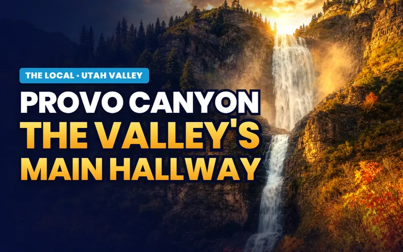
The canyon
Provo Canyon
US-189, Bridal Veil Falls, the Sundance turnoff, Vivian Park and the canyon miles of the river trail.
Read the guide
The lake
Utah Lake
The level, the advisories, the carp program and the recovery, written for the whole shoreline rather than one ramp.
Read the guide
The campuses
BYU and UVU
The venues, the museums, the capacities, game day traffic and the parking rules on a stadium Saturday.
Read the guide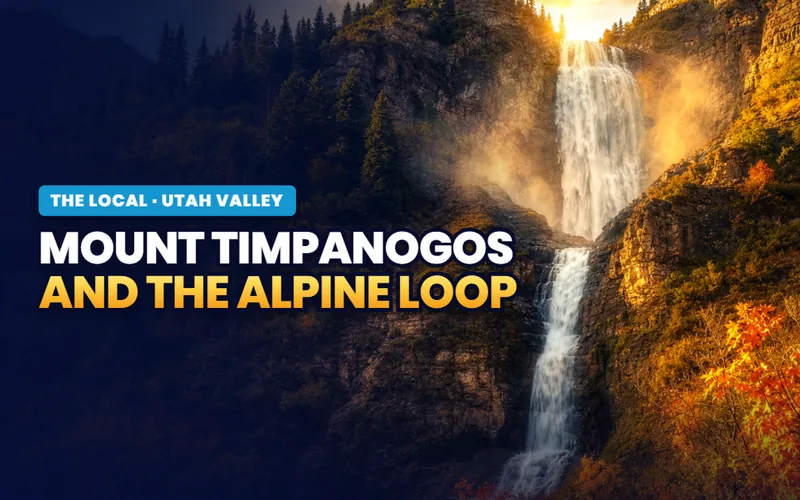
The mountain
Timpanogos and the Loop
SR-92, the seasonal gate, the cave reservations, the two summit routes and the fall color drive.
Read the guideThree more region subjects sit alongside those four. The Nebo Loop takes the byway over the shoulder of Mount Nebo and the annual question of whether it is open yet. The Murdock Canal Trail covers seventeen paved miles through seven north county cities, none of which is Provo. Family weekends ranks the valley's indoor and outdoor venues by activity, season and price. All seven are on the Utah Valley hub.
If you only have one day
One version of a good day in Provo

First light
Walk up to the letter
A mile of switchbacks puts you level with a concrete letter poured by hand in 1906, with the whole valley and the lake laid out behind you.
The Y Mountain page
Late morning
Come down to Center Street
Twenty five acres on the National Register, a tabernacle rebuilt inside its own burnt shell, and the parklets that turned two blocks into seating.
The downtown page
Afternoon
Ride the river across the city
Seven and a half paved miles run from the canyon mouth to the lake without meeting traffic, which is the cheapest good hour available here.
The parkway page
Evening
Finish at the water
Center Street runs west until it ends at a thirty acre marina, with a restored river delta and an observation tower immediately north of it.
The state park pageThe rhythm
One week in July, and one turnover week at the end of August
Two dates organize the Provo year and neither of them is on a tourism calendar. The first is the Fourth of July, when America's Freedom Festival stacks four separate events into a single day: around two dozen hot air balloons lifting from Fox Field at dawn, a morning run, the Grand Parade down University Avenue and Center Street at nine, and the Stadium of Fire at LaVell Edwards Stadium in the evening. The festival itself runs roughly thirty events across May, June and July. The festival page has the hours and the road closures.
The second is the last week of August, when the academic year turns over and the city absorbs it. That week decides what a moving truck costs, when a rental closes, how long a grocery queue runs and which streets you can park on. For anyone weighing a purchase here it also raises a question no other Utah city asks in quite the same form, which is what the code permits you to do with the house you are buying. The page on moving to Provo takes that properly.
The rest of the calendar is quieter than the reputation suggests. The downtown concert series returned in 2026 on five Friday evenings between May and September, the Saturday farmers market runs from early June to the end of October, and the east side trailheads are busiest at dawn and after work rather than at midday. The ranked list sorts what justifies a journey from what is simply good to have at the end of your street.
Plan a move around the last week of August in this city and you will pay for it twice, in money and in patience.
The Provo companion
Eleven pages, and not one of them borrows the valley's scenery
Everything The Local has written about Provo itself: the ranked list, the three east side climbs held properly apart, the historic street, the river trail's city miles, the lake door and its restored delta, the airport inside the boundary, the week in July, and the honest version of what an academic year does to an address here.

Things to do
The top 12, ranked
ReadThe letter
Y Mountain and the Y
Read
The canyon mouth
Rock Canyon
Read
The summit
Kyhv Peak and its name
ReadCenter Street
Downtown Provo
ReadThe city miles
The Provo River Parkway
ReadThe lake door
Utah Lake State Park
Read
The runway in town
Provo Airport
Read
The Fourth
America's Freedom Festival
Read
Moving here
When to move to Provo
Read
Scott Buehler
Moving Utah About Scott
Quick answers
Provo, answered
For being the anchor of Utah Valley and home of the Utah County offices, wedged into about four miles of ground between the Wasatch Range and Utah Lake. Locally it is known for the concrete letter on the hillside east of the city, for four blocks of Center Street on the National Register of Historic Places, for a commercial airport inside its own boundary, and for a Fourth of July that stacks balloons, a run, a parade and a stadium show into a single day. The canyon, the mountain and the lake are shared with the rest of the valley rather than owned by the city.
No, and confusing them is the most common wrong turn on this side of the city. Y Mountain is a hillside with a concrete letter on it, reached by about 1.06 miles of switchbacks with roughly 1,074 feet of gain, on land the university owns. Rock Canyon is a canyon mouth about two miles north, with a paved first stretch, a creek and hundreds of bolted climbing routes on its walls. Kyhv Peak, a 7,865 foot summit, is a third thing again and is reached from a forest road that closes every winter.
Roughly 4,551 feet on the valley floor, which is a few hundred feet above the surface of Utah Lake and several thousand feet below the ridge behind the city. The ground rises quickly: the east bench trailheads sit inside residential streets, the summit directly east of town stands at 7,865 feet, and the gain from the last house to that summit happens in a couple of horizontal miles. That vertical compression is the single most useful thing to understand about living or visiting here.
Most of the list. Every east side trailhead is free including the parking, the whole 7.5 city miles of the Provo River Parkway are free at any hour, the restored river delta and its observation tower charge nothing, the downtown historic district costs nothing to walk, the returning Friday concert series is free admission, the Saturday farmers market is free to enter, and the volunteer run pioneer village on the west side takes donations rather than an admission fee. The paid list is short: a state park entry, a stadium ticket and a race entry.
Better than most Utah cities of this size, within limits. The Provo River Parkway crosses the entire width of the city on paved surface, a rapid bus line runs the University Parkway corridor, the FrontRunner commuter rail terminates at Provo Central Station, and a UTA bus links the airport to that station. What still assumes a vehicle is the west shore, the lake door at the end of Center Street, and every forest road above the bench, including the one that reaches the summit overlook.
Late September and early October are the strongest weeks: the trailheads are cool, the canyon behind the city turns color, the lake is still warm and the crowds thin out. May and early June are the second choice and the quietest the city gets, because the academic terms are light and the summer events have not started. Early July is spectacular and completely full. Deep winter works if you came for snow, and the east side trails hold ice on their north facing sections from December into March.
Yes, and it is a genuine commercial airport rather than an airstrip. Provo Airport sits on 869 acres inside the city boundary with two asphalt runways, and its terminal opened in 2022 with more than 70,000 square feet and five passenger gates built to be expanded. Three airlines serve it as of 2026, with roughly 18 nonstop destinations, and passenger traffic runs around 900,000 a year. The first two hours of parking are free, which is not a sentence anyone writes about a larger airport.
The trailheads stay open and the indoor list is longer than the reputation. Rock Canyon is the one east side approach with no seasonal gate at all, and its lower miles are walkable all year with traction on the north facing sections. Downtown keeps its full trading week, the historic library building is free to walk into, the printing museum runs weekday mornings, and the river trail is flat, paved and usable in weather that closes softer ground. The forest road to the summit overlook is the thing that genuinely shuts, from about November to about May.
A full day covers the city honestly: a trailhead at first light, the historic street late morning, the river trail in the afternoon and the lake door in the evening. Two days lets you take a second climb properly and see the restored delta at the pace it deserves. What a single day cannot absorb is the first week of July, which is its own trip, or the canyon and the mountain behind the city, which are region subjects with their own pages and their own driving time.
Eleven pages on the city, and seven more on the valley around it
A visit asks which trailhead to start at. A move asks harder questions: which side of the bench, how close to the river trail you want to be, what the last week of August does to your street, and what the city code actually permits at the address you are looking at. Tell me what you are weighing and I will put you with a Utah County partner agent who works the specific part of Provo you are circling, and stay on the file for the financing side.
Or call Scott: (435) 357-4345or send Scott a message
Keep going
Continue your Provo research
Eight more doors into Provo, chosen for what this page covers.
Questions about Provo?
Call Scott, send a message, or find out what your Provo home is worth. No pressure, no obligation.
Referral Disclosure: For moves outside Southern Utah, I can connect you with trusted local agents. If you choose to work with one, their brokerage pays my brokerage (Real Broker, LLC) a referral fee from their commission. This costs you nothing extra, and you are never obligated to use my referral.