
City Morgan, Morgan County
The only city in Morgan County, in a valley that is nine tenths private
Morgan, a whole county with one city in the middle of it
Morgan City holds about 4,580 people inside a county of about 13,400, east of Weber Canyon on Interstate 84. More than nine tenths of the county is privately owned, the highest private share in Utah, so everything public is concentrated: two state park reservoirs, a golf course open to the public, a freeway pullout at a rock formation, and a 1926 depot with the county archive in it. Two thirds of the county lives outside any city limit. Here are seven pages on the county, and an honest handoff to the region subjects a Morgan address really uses.
 By Scott Buehler, Moving Utah
Updated October 2026
By Scott Buehler, Moving Utah
Updated October 2026
The short answer
Morgan is home to the county offices and is the only incorporated city in Morgan County, a valley of about 13,400 people east of Weber Canyon. Morgan City itself holds roughly 4,580 of them; the other two thirds of the county live in unincorporated communities with no city government at all. What you come for is easy to name: the Devil's Slide rock formation on the freeway, two state park reservoirs at East Canyon and Lost Creek, a public golf course south of town, a county fair in late July, and a restored 1926 depot with the county archive inside it. The reason the list is short is that more than nine tenths of the county is privately owned, the highest private share in Utah. There is no bus and no passenger train. This hub is the map to seven deeper pages on the county, and it hands the rest of the Ogden valley to the region pages the whole area shares.
The county itself
One county, one city, and two thirds of the people living outside the city line
Morgan County sits east of the Wasatch wall in a string of valleys the Weber River drains, about 609 square miles that make it the third smallest county in Utah. It holds about 13,400 people. Weber County, right over the ridge to the west, is nearly the same size on the map and holds about twenty times as many. Morgan City is the only incorporated place in the whole county: about 4,580 residents on the 2025 Census estimate, up from 4,085 in the 2020 census. The other 8,803 people, close to two thirds of the county, live in unincorporated communities with no city government at all, places like Mountain Green, Peterson, Milton, Littleton, Porterville, Richville, Enterprise and Croydon.
The town was settled in 1860, when the first families reached South Morgan, with North Morgan following about a year later. The two combined and incorporated as Morgan City in 1868, the same year the Union Pacific line was completed through the valley. That is the whole of Morgan's early history in a sentence: a railroad found the one practical gap through the mountains, and a town grew up where it stopped. Morgan City's own website says the town was settled in 1868, but that is the incorporation year; the state's history division puts first settlement at 1860, and that is the account I follow.
Where the growth lands has shifted. Mountain Green, at the low western end of the valley closest to Weber Canyon and Ogden, is unincorporated and has two schools of its own, and its middle school now enrolls more students than the middle school in Morgan City. That one comparison is the county's growth story with nothing added to it. The practical side of a move, what homes cost, how the neighborhoods compare and where the school boundaries run, lives on the Morgan city guide; what an address on either side of the city line actually asks of a household is worked through on the mover page.
A county that is nine tenths private is not a county with less to see. It is a county where what there is to see is concentrated, published, and easy to name.
Morgan County at a glance
93.09%
of the county in private ownership, the highest private share in Utah
13,383
people in the county, of whom 8,803 live outside any city limit
609 sq mi
of land, which makes Morgan the third smallest county in Utah
4
roads the county names as its whole network: I-84, SR-167, SR-66 and SR-65
Public and private land
How much of this county can a visitor actually set foot on?
Under 7 percent of it, and the county lays out the arithmetic itself. Table 1 of Morgan County's own adopted Resource Management Plan splits 391,783 acres six ways: the Bureau of Land Management holds 855 acres, the Bureau of Reclamation 278, the US Forest Service 14,925, the Utah Division of Wildlife Resources 7,681, Utah State Parks 3,328, and private owners 364,717 acres, or 93.09 percent. That is the highest private share of any county in Utah, and the state's history division makes the same claim in plain words.
You will see two different public land figures for Morgan, and both are correct. Add the three federal lines and you get 4.1 percent; add the two state lines on top and you reach 6.91 percent. The county's plan uses the smaller number because it deliberately counts only federal ground, so its headline 4.1 percent is federal land alone, with state land sitting on top of it. Either figure is fine as long as you say which one you mean.
That single fact sets the shape of everything here. Utah State Parks holds less than 1 percent of the county, and that is where the public recreation is: East Canyon, Lost Creek, and the Mormon Flats ground East Canyon manages a few miles south of the reservoir. East Canyon's own visitor page puts it plainly, telling anyone who asks about hiking that the one trail is at Mormon Flat. None of this is a complaint and none of it is a selling point. It is simply why a Morgan address behaves differently from a Wasatch Back address at the same elevation with the same mountains out the window. The mountains are there; most of the ground under them already belongs to somebody.
How Morgan got here
A railroad in 1868, two federal dams in the 1960s, and a rifle company that moved its head office in
Morgan County was created by the territorial legislature in 1862, and the county offices moved around for its first few years before they settled in Morgan City. The early economy was farming, and it still shows in the record: a pea cannery opened in Morgan in 1904, and beef, dairy, hay and grain carried the county for generations. The one landmark most people can name, the Devil's Slide cement plant, has made cement beside the railroad for more than 80 years; the state's air quality record traces the current plant back to 1947, and no single founding year is settled, so I do not print one.
Two decisions taken elsewhere reshaped the county in the last century. The first was water. Both of Morgan's reservoirs are Bureau of Reclamation dams built as part of the Weber Basin Project: the East Canyon dam that stands today was finished in January 1966, replacing a private canal company's structure from 1896, and Lost Creek was built between 1963 and 1967 at the far end of the county. East Canyon State Park followed in 1967, and Lost Creek became a state park only in 2021, created in statute by a bill that required the state to reach an agreement with Reclamation, which owns the reservoir. The two parks are a study in contrast, and each has its own page here.
The second was Browning. The Browning Arms Company moved its research and headquarters staff to Morgan in 1964, and the company still gives its address as One Browning Place, Morgan, Utah. Downtown itself is on the National Register of Historic Places as the Morgan Historic District, listed in 2022, and its centerpiece is the 1926 Spanish Colonial Revival railroad depot on Commercial Street, which now houses the county historical society and is open to the public. The market side of all this, prices and what a budget buys today, lives on the Morgan city guide rather than here.
Beyond the county
The reservoirs and ski hills of the Ogden valley are reached through the neighbors, and written once
Some of what people picture when they think of this area sits on the Weber County side of the wall, not in Morgan. The two subjects a Morgan household actually reaches are up Trappers Loop from Mountain Green and over the divide from East Canyon, so The Local covers them once for the whole area rather than repeating them on every town page. The rest of the Ogden valley, its canyon, its bench trails and its old downtown street, lives on the region hub.

Up Trappers Loop
Snowbasin and Powder Mountain
Two big ski areas in the Ogden valley, reached from Mountain Green up SR-167 rather than through Ogden. Passes, access and roads compared.
Read the guide
Over the divide
Pineview and Causey
The Ogden River's two reservoirs, a different set of water from Morgan's own East Canyon and Lost Creek, with their fees and their rules laid out.
Read the guide
The whole region
Weber and Morgan on The Local
The way into every Weber and Morgan town, from the Ogden bench over the canyon into Morgan Valley, gathered in one place.
The region hubLiving here
One freeway, one river, one school district, and a great deal of ground with somebody else's name on it
A Morgan address asks a short, specific list of questions, and the first is whether the property sits inside Morgan City. The city runs its own electricity, water, sewer and garbage, all set up on a single form at city hall, and that package stops at the city line. Two thirds of the county is outside it, on county garbage service and separate water, so the utility picture changes depending on which side of the line a home sits. Irrigation is its own question again: the city directs residents to a separate secondary water organization for the turn on and shut off dates each year.
What is genuinely good here is not the scenery, though the scenery is real. It is that one school district covers the entire county, so no address argues about which district it is in. It is a county government that runs a library, a recreation department, a historical society, five parks and a small general aviation airport on a population of about 13,000. And it is two state parks and a public golf course in a county whose public land adds up to under 7 percent, which is exactly why they stay busy. The Morgan city guide carries the numbers a buyer needs, and the mover page takes the city line apart in detail.
What is genuinely hard is just as plain. There is no transit of any kind, and the nearest commuter rail station is a canyon drive away down Interstate 84. Serious hospital care is decided in Ogden. And every trip out of the valley crosses either the canyon, a state route that closes for the winter, or a mountain pass with a ski resort on the far side. The commute is the part of the day a Morgan household actually repeats, so the corridor page is the one to read before you make an offer.
One high capacity road out, and one seasonal shortcut. Interstate 84 through Weber Canyon is the only fast way in or out of Morgan County in any direction. SR-65 over Big Mountain, the summer shortcut toward Salt Lake and Emigration Canyon, closes through the winter, typically November into May or June, on the state transportation department's own seasonal list. The road to East Canyon on SR-66 stays open year round; the road onward over Big Mountain does not.
The Morgan companion
Seven pages on the county, from the two reservoirs to the city line
Everything The Local has written about Morgan County itself: the two state park reservoirs, the rock formation on the freeway, the valley south of town, the canyon that everything travels through, the downtown depot and fairgrounds, and what moving to one side of the city line or the other actually asks of you. Each is its own page, and this is the map to all seven.

The reservoir on SR-66
East Canyon State Park
The county's busiest water, 12 miles southeast of town, open year round for boating, fishing and camping, with four different bodies behind the dam and the recreation.
Read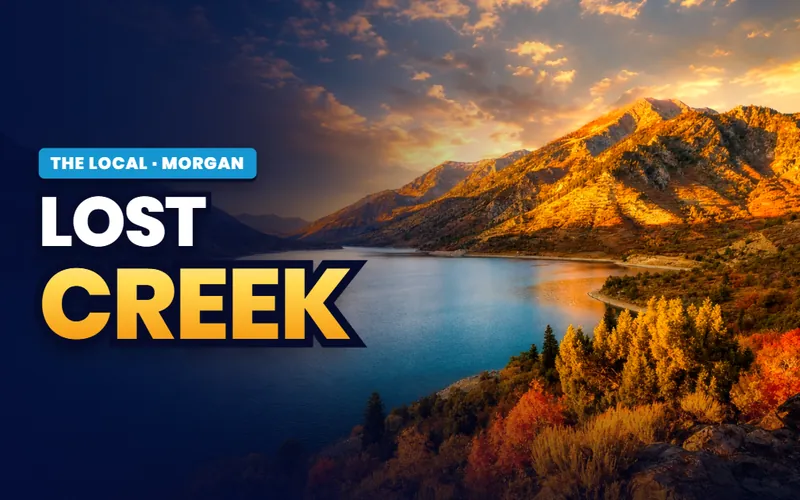
The quiet reservoir
Lost Creek
The far end of the county behind Croydon: a wakeless reservoir that became a state park only in 2021, still filling out its facilities, and half the price of East Canyon to enter.
Read
The landmark
Devil's Slide
Two limestone walls standing on their edge at a free freeway pullout near milepost 111 on I-84, and the separate cement plant a few miles on that shares the name.
Read
South of town
Round Valley
The valley south of Morgan, not the trail network near Park City, with an 18 hole golf course open to the public and a wildlife area with no public way in.
Read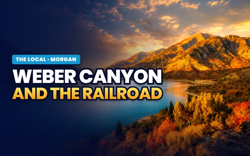
The way in
Weber Canyon and the railroad
The slot every road, rail line and river in this county shares: Interstate 84, the Union Pacific main line, and the daily commute down to the Wasatch Front.
Read
Downtown
The depot and the fairgrounds
The 1926 railroad depot that holds the county archive and visitor center, open five afternoons a week, and the fairgrounds on Como Springs Road where the county fair runs each July.
Read
Moving here
The unincorporated two thirds
What the city line actually decides: utilities, services and which end of the valley, from Morgan City to Mountain Green, an address really sits in.
Read
Scott Buehler
Moving Utah About Scott
Quick answers
Morgan County, answered
For being a whole county with one city in it, and for having the highest share of privately owned land of any county in Utah. Morgan County's own adopted Resource Management Plan puts private ownership at 364,717 acres, or 93.09 percent of 391,783 acres, dated April 2017, and the Utah Division of State History makes the same claim in words. Beyond that the county is known for three things a traveller can point at: the Devil's Slide limestone formation beside Interstate 84, two state park reservoirs at East Canyon and Lost Creek, and the corporate headquarters of Browning, which has given its address as One Browning Place, Morgan, Utah since it moved research and headquarters staff here in 1964.
Yes. Morgan City is the only incorporated place in the county, and every other named community in the valley is unincorporated: Mountain Green, Peterson, Milton, Stoddard, Littleton, Porterville, Richville, Enterprise, Taggart and Croydon among them. The U.S. Census estimate for 2025 puts Morgan City at 4,580 people and the unincorporated county at 8,803, which is 65.8 percent of the county's 13,383 residents. That split is the single most practical fact about buying here, because Morgan City's own utilities page states that the utilities it provides are only for residents within Morgan City limits.
Between 4.1 and 6.91 percent depending on which question you are asking, and the county publishes both. Its Resource Management Plan Table 1 lists the Bureau of Land Management at 855 acres, the Bureau of Reclamation at 278, the US Forest Service at 14,925, the Division of Wildlife Resources at 7,681 and Utah State Parks at 3,328, against 364,717 private acres. The three federal lines total 16,058 acres, or 4.1 percent, and the plan counts only federally owned lands. Add the two state lines and public ground reaches 6.91 percent. Use whichever figure you like and say which, because the plan's own headline number is the federal one.
No. Morgan County does not appear anywhere in the Utah Transit Authority's own description of its services, which names Weber, Davis, Salt Lake and Utah counties for commuter rail and lists Box Elder, Weber, Davis, Tooele, Salt Lake and Utah for its bus service area. There is no commuter rail station, no light rail and no bus rapid transit in the county. The Union Pacific main line through Weber Canyon is freight and has had no passenger stop here for generations. The nearest commuter rail station is reached by driving down Interstate 84 through Weber Canyon.
Morgan County has two, East Canyon and Lost Creek, and neither is Pineview. Pineview and Causey are on the Ogden River in Weber County, reached from Ogden Canyon or Trappers Loop, and they have their own page on The Local. East Canyon sits twelve miles southeast of Morgan City on SR-66, on East Canyon Creek, and Lost Creek is about ten miles northeast of Croydon at the other end of the county. Both are Bureau of Reclamation dams built as part of the Weber Basin Project in the 1960s, and Utah State Parks runs the recreation at both while different bodies operate the water.
Two parallel limestone walls in Weber Canyon, about 40 feet high, 25 feet apart and several hundred feet long, with softer rock eroded out between them. The Utah Geological Survey publishes it as one of its GeoSights and explains the geology: the rock is the Twin Creek Formation, about 2,700 feet thick, formed in a shallow sea 170 to 180 million years ago, and tilted to a near vertical position by mountain building about 75 million years ago. It is visible from a scenic pullout on Interstate 84 near milepost 111. A cement plant several miles of road away shares the name and is an entirely separate thing, with no public access published.
Yes, and the state permit record proves it. Utah's Division of Air Quality issued an approval letter dated 2 October 2025 which states that Amrize Cement Inc., formerly known as Holcim (US) Inc., owns and operates the Devil's Slide cement manufacturing plant near Morgan, Utah, at 6055 East Croydon Road. The letter covers a modification to incorporate alternative fuel processing and feed system operations and to add a new finish mill, and it classifies the plant as a major source under the federal Title V program. The Utah Division of State History's own county page still names Holcim rather than Amrize; the permit is dated and is the operating record.
One district covers every address in Morgan County, which is unusual enough to change how the place feels. There is no boundary argument between municipalities, because there is only one municipality, and there is one public high school, which draws from the whole county and is therefore larger than either of the two middle schools beneath it. The unusual grade split runs elementary to grade four and middle school from five to eight. Two of the district's buildings sit in Mountain Green at the western end of the valley rather than in the city of Morgan. This site does not rate schools and the district's own office is the only authority on which building a given address feeds.
Less than a mountain county its size would suggest, and each item is easy to name. Two state park reservoirs, East Canyon twelve miles from town on SR-66 and Lost Creek behind Croydon at the other end. A free roadside stop at the Devil's Slide limestone formation on Interstate 84. An eighteen hole golf course south of town, privately owned and open to the public. Eight days of county fair in late July. A county historical society keeping an archive, a visitors center and a gift shop in a 1926 railway depot, open weekday afternoons. A county library, a splash pad and five county parks in the unincorporated valley. The reason the list is short is that 93.09 percent of the ground here is private.
Thinking about a move to Morgan County? Start with the questions this valley actually asks
Morgan is a shorter, stranger list than most northern Utah addresses. Whether a home is inside Morgan City or out in the county, because the city's utilities stop at the city line. Which of the four roads the address depends on, and what happens to that road in February. And whether Mountain Green or the valley floor is the right end of the county for what you are after. Tell me what you are weighing, and I will connect you with a Weber and Morgan partner agent who works this valley, and stay on the file for the financing side.
Or call Scott: (435) 357-4345or send Scott a message
Keep going
Continue your Morgan research
Eight more doors into Morgan, chosen for what this page covers.
Questions about Morgan?
Call Scott, send a message, or find out what your Morgan home is worth. No pressure, no obligation.
Referral Disclosure: For moves outside Southern Utah, I can connect you with trusted local agents. If you choose to work with one, their brokerage pays my brokerage (Real Broker, LLC) a referral fee from their commission. This costs you nothing extra, and you are never obligated to use my referral.